
1954 Map of Gunnison
USGS Topo · Published 1955About this map
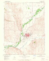
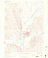
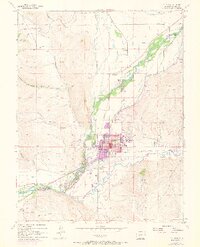
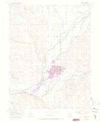
Gunnison serves as the regional hub in this mid-century portrait of west-central Colorado, situated at the junction of the Gunnison River and Tomichi Creek. The town is well-established, featuring Western State College, the Gunnison County Airport, and a central district anchored by the Courthouse and Pine St Sch. The landscape is a network of water management, with numerous irrigation channels like the Highline Canal and several sections of abandoned ditch carving through the valley floor.
Find a feature on this map
45 named features on this map. Tap any name to fly to it.
Don’t see what you’re looking for? This feature index may not catch every label — zoom into the map to look around manually.
Map Details
Editions of this 1954 Gunnison Map
5 editions found
Other maps of this area

1908 · Uncompahgre
USGS Topo · 1:125,000

1911 · Uncompahgre
USGS Topo · 1:125,000

1954 · Iris NW
USGS Topo · 1:24,000

1954 · Iola
USGS Topo · 1:24,000

1954 · Mc Intosh Mountain
USGS Topo · 1:24,000

1956 · Montrose
USGS Topo · 1:250,000

1959 · Montrose
USGS Topo · 1:250,000

1960 · Montrose
USGS Topo · 1:250,000

1962 · Iris
USGS Topo · 1:24,000
1964 · Flat Top
USGS Topo · 1:24,000