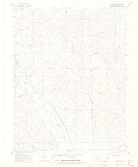
1964 Map of Flat Top
USGS Topo · Published 1967About this map
Gunnison National Forest dominates this mid-1960s landscape, centered on the high plateau of Flat Top. The terrain is defined by a sophisticated network of high-altitude water management, where the Gunnison Highline Canal and several private irrigation works like Teachout Ditch, May Bohm Ditch, and Lone Pine Ditch divert flows from the principal drainages. These engineered waterways reflect the critical role of water rights and ranching infrastructure in the Gunnison Basin.
Find a feature on this map
18 named features on this map. Tap any name to fly to it.
Don’t see what you’re looking for? This feature index may not catch every label — zoom into the map to look around manually.
Map Details
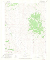
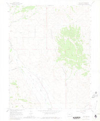
Editions of this 1964 Flat Top Map
3 editions found
Other maps of this area

1888 · Crested Butte
USGS Topo · 1:62,500

1888 · Anthracite
USGS Topo · 1:62,500

1889 · Crested Butte
USGS Topo · 1:62,500

1889 · Anthracite
USGS Topo · 1:62,500

1893 · Anthracite
USGS Topo · 1:62,500

1893 · Crested Butte
USGS Topo · 1:62,500

1894 · Anthracite
USGS Topo · 1:62,500

1954 · Mc Intosh Mountain
USGS Topo · 1:24,000

1954 · Gunnison
USGS Topo · 1:24,000

1956 · Montrose
USGS Topo · 1:250,000