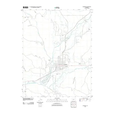
2010 Map of Gunnison
USGS Topo · Published 2010About this map
Gunnison sits at the confluence of the Gunnison River and Tomichi Creek, serving as a central hub for ranching and recreation in the high Rockies. The 2010 landscape reveals a complex network of water management, from the Gunnison Highline Canal to the May Bohm Ditch, which support the surrounding livestock operations at places like Thornton Ranch and McCabe Ranch. The town center is well-defined by the Gunnison County Fairgrounds, Legion Park Golf Course, and the Gunnison Post Office.
Find a feature on this map
61 named features on this map. Tap any name to fly to it.
Don’t see what you’re looking for? This feature index may not catch every label — zoom into the map to look around manually.
Map Details
Editions of this 2010 Gunnison Map
This is the sole edition of this map. No revisions or reprints were ever made.
Other maps of this area

1908 · Uncompahgre
USGS Topo · 1:125,000

1911 · Uncompahgre
USGS Topo · 1:125,000

1954 · Iris NW
USGS Topo · 1:24,000

1954 · Iola
USGS Topo · 1:24,000

1954 · Mc Intosh Mountain
USGS Topo · 1:24,000

1954 · Gunnison
USGS Topo · 1:24,000

1956 · Montrose
USGS Topo · 1:250,000

1959 · Montrose
USGS Topo · 1:250,000

1960 · Montrose
USGS Topo · 1:250,000

1962 · Iris
USGS Topo · 1:24,000