Old Maps of Pitkin, Colorado for Genealogy
Trace your family roots with 14 historic maps of Pitkin. These high-res maps reveal old neighborhoods, homesites, landmarks, and streets — helping you uncover where your ancestors lived and how the area evolved over time.
- Explore historic neighborhoods: Identify where your relatives may have lived in the 1800s or 1900s.
- Compare maps over time: Trace the changes in streets, buildings, and landmarks for multi-generational research.
- Perfect for genealogy & ancestry research: Used by family historians and researchers to map out lineage and migration.
These maps are an incredible resource for exploring your personal connection to Pitkin's past.
Pitkin, CO maps
(14)- 1941 Map of Pitkin, 1954 Print
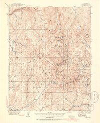 1941 Pitkin1954 Print · USGSGunnison County peaks and high-country mining camps are documented here in the mid-twentieth century. Genealogists and historians can trace families and claims through the Pitkin and Ohio City settlements or locate sites like the Sparta Sch and Gold Links Mine.5 unique versions available
 - 1945 Map of Pitkin
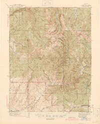 1945 Pitkin1945 Print · USGSGunnison County is shown in high detail during the 1940s, capturing the peak of the region's mining and high-country settlement. Genealogists and historians can trace the foundations of Ohio City, locate the Roosevelt Mine, and find the remote Sparta Sch.2 unique versions available
 - 1956 Map of Montrose, 1963 Print
 1956 Montrose1963 Print · USGSThe Colorado western slope in the late fifties and early sixties shows a landscape defined by the Denver & Rio Grande Western RR and the Gunnison River. Trace the development of Blue Mesa Reservoir or locate high-country sites like the Bachelor Mine.3 unique versions available
 - 1959 Map of Montrose
 1959 Montrose1959 Print · USGSWestern Colorado in the late fifties is defined by the high peaks and river valleys of the Southern Rockies. Genealogists and historians can trace the paths of the Denver & Rio Grande Western RR or locate mountain settlements like Crawford, Lazear, and Doyleville.
 - 1960 Map of Montrose
 1960 Montrose1960 Print · USGSThe Colorado high country in the mid-fifties is captured here during a period of steady ranching and persistent mining. Researchers can trace the path of the Denver & Rio Grande Western RR or locate small settlements like Somerset, Maher, and Sargent.2 unique versions available
 - 1964 Map of Pitkin, 1967 Print
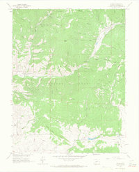 1964 Pitkin1967 Print · USGSGunnison County was a center for high-altitude mining and early rail transport during the mid-1960s. Researchers can trace the Old Railroad Grade, locate the village Cem, and identify historical extraction sites like the Carter Mine.2 unique versions available
 - 1968 Map of Montrose
 1968 Montrose1968 Print · USGSThe Western Slope and Continental Divide meet in the late sixties, showing the vital river valleys and high-mountain mining districts. Trace the historic route of the Denver and Rio Grande Western RR or locate small settlements like Sargents and Powderhorn.
 - 1984 Map of Gunnison
 1984 Gunnison1984 Print · USGSHigh mountain passes and historic mining districts define this mid-eighties record of the central Colorado Rockies. Genealogists and historians can trace the foundations of Gunnison and Crested Butte or locate remote sites like St Elmo, Tincup, and Hancock.2 unique versions available
 - 2001 Map of Pitkin, 2004 Print
 2001 Pitkin2004 Print · USGSPitkin and the surrounding Gunnison County high country are mapped here at the start of the twenty-first century. Genealogists and historians can trace the legacy of local industry through family-named sites like Carter Mine, the old cemetery, and the Waunita Hot Springs resort area.
 - 2011 Map of Pitkin, 2011 Print
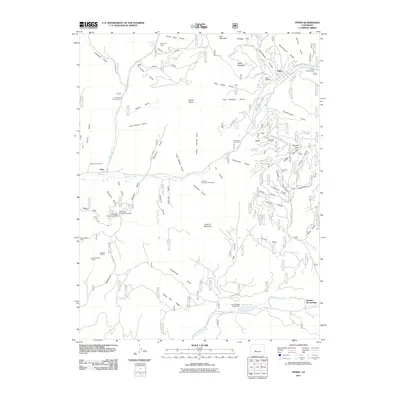 2011 Pitkin2011 Print · USGSCovers Pitkin, including Ohio, Waunita Hot Springs, and other nearby areas
 - 2013 Map of Pitkin, 2013 Print
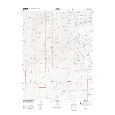 2013 Pitkin2013 Print · USGSCovers Pitkin, including Ohio, Waunita Hot Springs, and other nearby areas
 - 2016 Map of Pitkin, 2016 Print
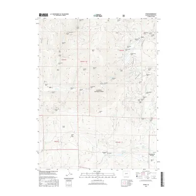 2016 Pitkin2016 Print · USGSCovers Pitkin, including Ohio, Waunita Hot Springs, and other nearby areas
 - 2019 Map of Pitkin, 2019 Print
 2019 Pitkin2019 Print · USGSCovers Pitkin, including Ohio, Waunita Hot Springs, and other nearby areas
 - 2022 Map of Pitkin, 2022 Print
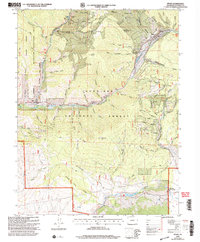
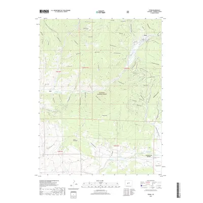
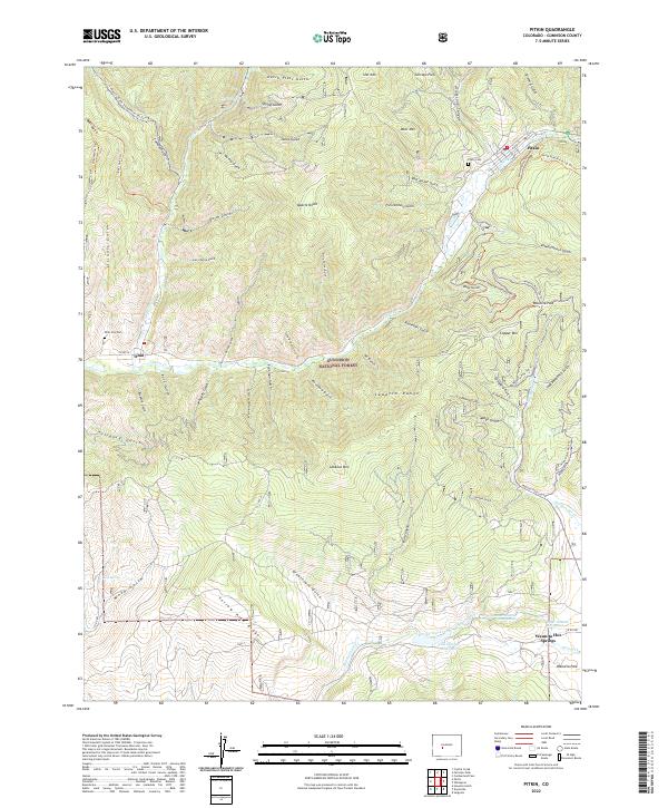 2022 Pitkin2022 Print · USGSGunnison County high country is shown in detail here in the early twenty-first century, spanning the peaks and gulches of the Sawatch Range. Genealogists and hikers can locate Pitkin Cem, trace the waters of Waunita Hot Springs, and explore old mining routes like the Willow Mine Trl.
End of results
Showing maps 1-14 of 14
Frequently asked questions
- What are the different types of historical maps available for Pitkin?
- What is the oldest map of Pitkin?
- Where can I purchase historical maps of Pitkin for my home or office?
- Where can I download high-res historical maps of Pitkin?
- Are there historical topographic maps available for Pitkin?
- Is there historical aerial imagery available for Pitkin?
- Where are historical maps of Pitkin sourced from?