Old Maps of La Veta, Colorado for Hiking & Exploration
Hike through history with 34 historic maps of La Veta. Explore old trails, ghost towns, and forgotten backroads — perfect for outdoor adventurers and local explorers.
- Rediscover forgotten places: Map out old mining camps, roads, and footpaths that no longer exist on modern maps.
- Layer with modern tools: Combine with LiDAR or satellite views to plan hikes through historical terrain.
- Made for exploration: Popular among hikers, overlanders, and local history lovers.
Use these maps to find adventure and explore the hidden past of La Veta.
La Veta, CO maps
(34)- 1889 Map of Huerfano Park, 1961 Print
 1889 Huerfano Park1961 Print · USGSHuerfano County and the high peaks of the Sangre de Cristos are captured here in the late nineteenth century. Trace the early tracks of the Denver and Rio Grande Railroad and locate vanished outposts like Sharpsdale and Malachite.
 - 1891 Map of Walsenburg
 1891 Walsenburg1891 Print · USGSHuerfano County in the early 1890s was a landscape shaped by coal and steam as the Denver and Rio Grande Railroad expanded through the region. Genealogists and historians can trace early settlements and junctions like Walsenburg, Rouse, and Cuchara Junction.
 - 1892 Map of Huerfano Park
 1892 Huerfano Park1892 Print · USGSSouthern Colorado mountain life is captured here in the late nineteenth century, showing the early settlements and rail lines of the Huerfano region. Researchers can trace the path of the Denver and Rio Grande Railroad and locate vanished stops at Malachite, Sharpsdale, and Placer.5 unique versions available
 - 1894 Map of Walsenburg
 1894 Walsenburg1894 Print · USGSWalsenburg and the surrounding coal country are captured in the late nineteenth century as the rail network expanded. Map collectors and genealogists can trace early railroad settlements like Cuchara Junction and industrial sites including the Rouse Mines and Tioga.
 - 1897 Map of Walsenburg
 1897 Walsenburg1897 Print · USGSSouthern Colorado at the close of the century reveals a landscape of expanding railroads and coal settlements. Genealogists and historians can trace the early rail stops and mining camps of Walsenburg, Pictou, and Rouse along the DENVER AND RIO GRANDE R. R. network.4 unique versions available
 - 1900 Map of Walsenburg
 1900 Walsenburg1900 Print · USGSSouthern Colorado at the turn of the century shows a landscape being transformed by the arrival of the Denver and Rio Grande RR. Genealogists and historians can trace early settlements and transit points like Huerfano Sta. (Ute P.O.), the coal town of Rouse, and the landmark Huerfano Butte.
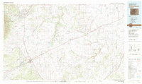
 - 1954 Map of Trinidad, 1963 Print
 1954 Trinidad1963 Print · USGSSouthern Colorado is captured here during the mid-fifties, showing the vital rail-and-river connections between the San Luis Valley and the eastern foothills. Researchers can trace the Denver and Rio Grande Western line and locate rural landmarks like Malachite School and San Luis.2 unique versions available
 - 1955 Map of Trinidad, 1976 Print
 1955 Trinidad1976 Print · USGSSouthern Colorado during the mid-fifties is defined by the high-altitude agriculture of the San Luis Valley and the peaks of the Culebra Range. Genealogists can trace early settlements and rural schoolhouses like Medina Plaza, San Luis, and the Trujillo Creek School.
 - 1958 Map of Trinidad
 1958 Trinidad1958 Print · USGSSouthern Colorado in the late fifties was a landscape of high-altitude agriculture and coal production, centered on the San Luis Valley. Local historians can trace old community centers like the Malachite School or follow the mining and rail activity near Walsenburg and the Allen Mine.
 - 1959 Map of Trinidad
 1959 Trinidad1959 Print · USGSThe San Luis Valley and the high Sangre de Cristo peaks are documented here in the late fifties, during a period of steady ranching and rail activity. Genealogy researchers can locate family-named landmarks and rural institutions like Trujillo Creek School and the historic San Luis settlement.
 - 1963 Map of Ritter Arroyo, 1966 Print
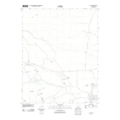
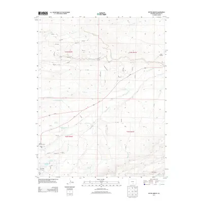
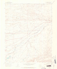 1963 Ritter Arroyo1966 Print · USGSThe Huerfano County landscape near La Veta comes alive in the early sixties as a crossroads of rail, river, and ranching. Genealogists and local historians can trace family ties at Old La Veta Cem or locate the site of the rural Ritter Sch.3 unique versions available
 - 1963 Map of La Veta, 1966 Print
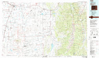
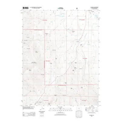
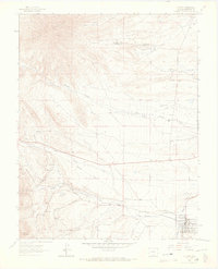 1963 La Veta1966 Print · USGSHuerfano County ranching and rail transport are in sharp focus during the early 1960s as the high country transitions into the valley. Genealogists and historians can locate the Denver and Rio Grande Western Railroad and landmarks like the Tres Valles Ranch and Occidental.4 unique versions available
 - 1963 Map of Cuchara, 1966 Print
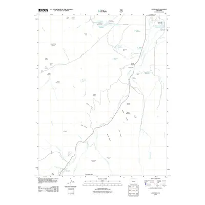
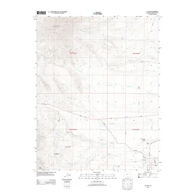
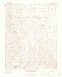 1963 Cuchara1966 Print · USGSIn the mid-1960s, the high country of Huerfano County shows a mix of alpine forest and early settlement near the Cucharas River. Researchers can trace the layout of La Veta and Cuchara, or locate landmarks like Goemmer Butte and Sulphur Springs.4 unique versions available
 - 1967 Map of Cuchara, 1986 Print
 1967 Cuchara1986 Print · USGSSouthern Colorado in the late sixties reveals a landscape of high-altitude forests and early water reclamation. Genealogists and researchers can trace 4WD routes to the Linscott Mine, locate the waters of Marker Lake, or study the remote settlement at Cuchara.2 unique versions available
 - 1982 Map of Walsenburg
 1982 Walsenburg1982 Print · USGSThe Huerfano valley in the early eighties shows a landscape of mining camps and cattle country. Genealogists can trace family names at Masonic Cem or locate old industrial sites like the Pacific Mine and the rail junction at Walsenburg.
 - 1982 Map of Blanca Peak, 1983 Print
 1982 Blanca Peak1983 Print · USGSThe Sangre de Cristo range reaches its highest elevations in the early 1980s, towering over the shifting landscapes of the San Luis Valley. Researchers can trace the path of the Denver and Rio Grande Western railroad or locate remote settlements like Crestone, Sharpsdale, and Gardner.2 unique versions available
 - 1983 Map of Alamosa
 1983 Alamosa1983 Print · USGSThe San Luis Valley was transitioning through the early eighties, with its historic plazas and rail corridors still clearly defined. Genealogists can trace family roots through the settlements of San Luis, Manassa, and San Acacio, or locate the Old Railroad Grade and the Denver and Rio Grande Western tracks.2 unique versions available
 - 1988 Map of Trinidad
 1988 Trinidad1988 Print · USGSSouthern Colorado in the late eighties reveals a landscape of high-altitude farming and mountain rail corridors. Genealogists and historians can trace the foundations of San Luis and Fort Garland or find old stops on the D & R G W RR and A T & S F Ry.
 - 1994 Map of Cuchara, 2001 Print
 1994 Cuchara2001 Print · USGSHuerfano County during the mid-nineties shows the transition from mountain ranching to high-country recreation. Map enthusiasts can locate the Linscott Mine, trace the Cucharas River past Three Bridges, and find landmarks like Devils Stairsteps and Goemmer Butte.
 - 2010 Map of La Veta, 2010 Print
 2010 La Veta2010 Print · USGSCovers La Veta, including Occidental, Huerfano County, and other nearby areas
 - 2010 Map of Ritter Arroyo, 2010 Print
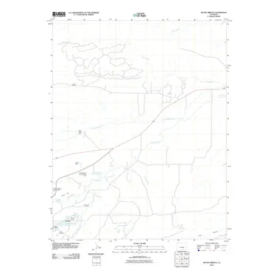 2010 Ritter Arroyo2010 Print · USGSCovers La Veta, including Huerfano County, United States, and other nearby areas
 - 2011 Map of Cuchara, 2011 Print
 2011 Cuchara2011 Print · USGSCovers La Veta, including Cuchara, Huerfano County, and other nearby areas
 - 2013 Map of Ritter Arroyo, 2013 Print
 2013 Ritter Arroyo2013 Print · USGSCovers La Veta, including Huerfano County, United States, and other nearby areas
 - 2013 Map of Cuchara, 2013 Print
 2013 Cuchara2013 Print · USGSCovers La Veta, including Cuchara, Huerfano County, and other nearby areas
 - 2013 Map of La Veta, 2013 Print
 2013 La Veta2013 Print · USGSCovers La Veta, including Occidental, Huerfano County, and other nearby areas
Showing maps 1-25 of 34
Top cities near La Veta
Frequently asked questions
- What are the different types of historical maps available for La Veta?
- What is the oldest map of La Veta?
- Where can I purchase historical maps of La Veta for my home or office?
- Where can I download high-res historical maps of La Veta?
- Are there historical topographic maps available for La Veta?
- Is there historical aerial imagery available for La Veta?
- Where are historical maps of La Veta sourced from?