Old Maps of Strong, Colorado for Academic Research
Study the evolution of Strong with 16 high-resolution historic maps. Whether you're teaching, researching, or modeling changes in land use, these maps provide essential visual documentation of urban, environmental, and geographic change.
- Analyze long-term change: Track patterns in development, transportation, and natural features.
- Ideal for environmental or urban studies: Support academic projects with primary historical map data.
- Use in the classroom or lab: Educators and researchers rely on these maps to bring historical context to life.
These maps are a powerful tool for teaching, research, and visualizing how Strong has changed over the decades.
Strong, CO maps
(16)- 1891 Map of Walsenburg
 1891 Walsenburg1891 Print · USGSHuerfano County in the early 1890s was a landscape shaped by coal and steam as the Denver and Rio Grande Railroad expanded through the region. Genealogists and historians can trace early settlements and junctions like Walsenburg, Rouse, and Cuchara Junction.
 - 1894 Map of Walsenburg
 1894 Walsenburg1894 Print · USGSWalsenburg and the surrounding coal country are captured in the late nineteenth century as the rail network expanded. Map collectors and genealogists can trace early railroad settlements like Cuchara Junction and industrial sites including the Rouse Mines and Tioga.
 - 1897 Map of Walsenburg
 1897 Walsenburg1897 Print · USGSSouthern Colorado at the close of the century reveals a landscape of expanding railroads and coal settlements. Genealogists and historians can trace the early rail stops and mining camps of Walsenburg, Pictou, and Rouse along the DENVER AND RIO GRANDE R. R. network.4 unique versions available
 - 1900 Map of Walsenburg
 1900 Walsenburg1900 Print · USGSSouthern Colorado at the turn of the century shows a landscape being transformed by the arrival of the Denver and Rio Grande RR. Genealogists and historians can trace early settlements and transit points like Huerfano Sta. (Ute P.O.), the coal town of Rouse, and the landmark Huerfano Butte.
 - 1954 Map of Trinidad, 1963 Print
 1954 Trinidad1963 Print · USGSSouthern Colorado is captured here during the mid-fifties, showing the vital rail-and-river connections between the San Luis Valley and the eastern foothills. Researchers can trace the Denver and Rio Grande Western line and locate rural landmarks like Malachite School and San Luis.2 unique versions available
 - 1955 Map of Trinidad, 1976 Print
 1955 Trinidad1976 Print · USGSSouthern Colorado during the mid-fifties is defined by the high-altitude agriculture of the San Luis Valley and the peaks of the Culebra Range. Genealogists can trace early settlements and rural schoolhouses like Medina Plaza, San Luis, and the Trujillo Creek School.
 - 1958 Map of Trinidad
 1958 Trinidad1958 Print · USGSSouthern Colorado in the late fifties was a landscape of high-altitude agriculture and coal production, centered on the San Luis Valley. Local historians can trace old community centers like the Malachite School or follow the mining and rail activity near Walsenburg and the Allen Mine.
 - 1959 Map of Trinidad
 1959 Trinidad1959 Print · USGSThe San Luis Valley and the high Sangre de Cristo peaks are documented here in the late fifties, during a period of steady ranching and rail activity. Genealogy researchers can locate family-named landmarks and rural institutions like Trujillo Creek School and the historic San Luis settlement.
 - 1963 Map of Black Hills, 1966 Print
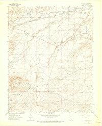 1963 Black Hills1966 Print · USGSHuerfano County's mining heart is captured in the early sixties as historic coal camps transitioned into archaeological sites. Genealogists and researchers can trace family locations near Maitland or find the former grounds of Tioga and Delcarbon.
 - 1982 Map of Walsenburg
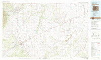 1982 Walsenburg1982 Print · USGSThe Huerfano valley in the early eighties shows a landscape of mining camps and cattle country. Genealogists can trace family names at Masonic Cem or locate old industrial sites like the Pacific Mine and the rail junction at Walsenburg.
 - 1988 Map of Trinidad
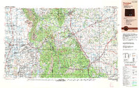 1988 Trinidad1988 Print · USGSSouthern Colorado in the late eighties reveals a landscape of high-altitude farming and mountain rail corridors. Genealogists and historians can trace the foundations of San Luis and Fort Garland or find old stops on the D & R G W RR and A T & S F Ry.
 - 2010 Map of Black Hills, 2010 Print
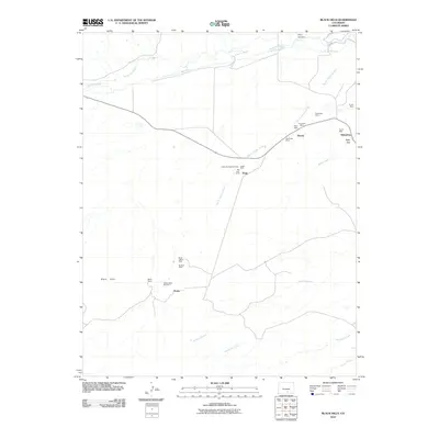 2010 Black Hills2010 Print · USGSCovers Strong, including Tioga, Delcarbon, and other nearby areas
 - 2013 Map of Black Hills, 2013 Print
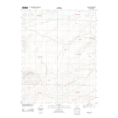 2013 Black Hills2013 Print · USGSCovers Strong, including Tioga, Delcarbon, and other nearby areas
 - 2016 Map of Black Hills, 2016 Print
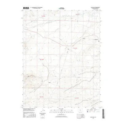 2016 Black Hills2016 Print · USGSCovers Strong, including Tioga, Delcarbon, and other nearby areas
 - 2019 Map of Black Hills, 2019 Print
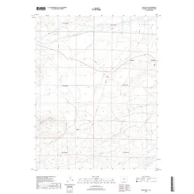 2019 Black Hills2019 Print · USGSCovers Strong, including Tioga, Delcarbon, and other nearby areas
 - 2022 Map of Black Hills, 2022 Print
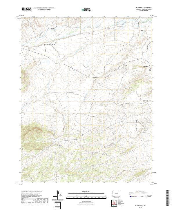 2022 Black Hills2022 Print · USGSHuerfano County's high-desert ranching and coal-mining heritage is visible here in the early twenty-first century. Genealogists and historians can trace the locations of Strong, Delcarbon, and Tioga alongside the Huerfano River.
End of results
Showing maps 1-16 of 16
Top cities near Strong
Frequently asked questions
- What are the different types of historical maps available for Strong?
- What is the oldest map of Strong?
- Where can I purchase historical maps of Strong for my home or office?
- Where can I download high-res historical maps of Strong?
- Are there historical topographic maps available for Strong?
- Is there historical aerial imagery available for Strong?
- Where are historical maps of Strong sourced from?