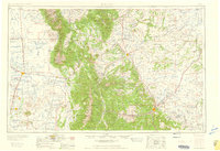
1959 Map of Trinidad
USGS Topo · Published 1959About this map
The Sangre de Cristo Range anchors this mid-century survey, dividing the high desert floor of the San Luis Valley from the eastern plains. To the west, the landscape is defined by the massive dunes of Great Sand Dunes National Monument and the historic Luis Maria Baca Grant No 4. This era shows a dense network of early irrigation such as the San Luis Canal and Union Lateral Canal, supporting settlements like Alamosa, San Luis, and Manassa.
Find a feature on this map
155 named features on this map. Tap any name to fly to it.
Don’t see what you’re looking for? This feature index may not catch every label — zoom into the map to look around manually.
Map Details
Editions of this 1959 Trinidad Map
This is the sole edition of this map. No revisions or reprints were ever made.
Other maps of this area
1889 · Canon City
USGS Topo · 1:125,000
1889 · Huerfano Park
USGS Topo · 1:125,000
1891 · Walsenburg
USGS Topo · 1:125,000
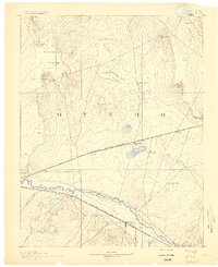
1891 · Catlin
USGS Topo · 1:125,000
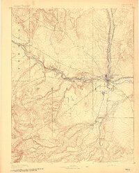
1891 · Pueblo
USGS Topo · 1:125,000
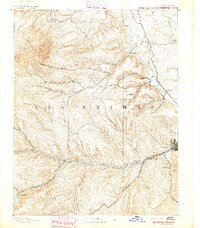
1891 · Spanish Peaks
USGS Topo · 1:125,000
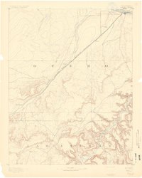
1891 · Timpas
USGS Topo · 1:125,000
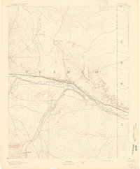
1891 · Nepesta
USGS Topo · 1:125,000
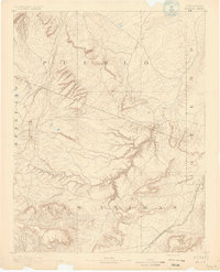
1891 · Apishapa
USGS Topo · 1:125,000
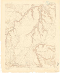
1891 · Mesa De Maya
USGS Topo · 1:125,000