Old Maps of Edgewater, Colorado for Academic Research
Study the evolution of Edgewater with 25 high-resolution historic maps. Whether you're teaching, researching, or modeling changes in land use, these maps provide essential visual documentation of urban, environmental, and geographic change.
- Analyze long-term change: Track patterns in development, transportation, and natural features.
- Ideal for environmental or urban studies: Support academic projects with primary historical map data.
- Use in the classroom or lab: Educators and researchers rely on these maps to bring historical context to life.
These maps are a powerful tool for teaching, research, and visualizing how Edgewater has changed over the decades.
Edgewater, CO maps
(25)- 1899 Map of West Denver
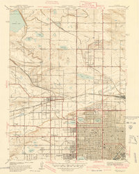
 1899 West Denver1899 Print · USGSThe Denver metropolitan area and its western foothills appear in the late Victorian era as a burgeoning rail and irrigation hub. Researchers can trace the early footprints of Denver, Golden, and Littleton, alongside industrial sites like the Louisville Coal Mine and the grounds of Fort Logan.
 - 1941 Map of Arvada
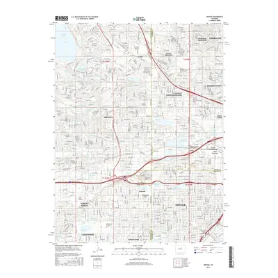
 1941 Arvada1941 Print · USGSThe Arvada and Westminster areas of the Colorado Front Range appear here in the early 1940s, showing a landscape defined by irrigation and rail. Researchers can trace historic institutions like Bellevue College, early settlements at Utah Junction, and the Leyden Narrow Gage railroad.
 - 1941 Map of Fort Logan
 1941 Fort Logan1941 Print · USGSThe western edges of Denver and the community of Sheridan are captured here just before the mid-century population boom. Researchers can trace the layout of the Fort Logan Military Reservation and locate local landmarks like Loretto Heights College and Sloan Lake.
 - 1944 Map of Arvada
 1944 Arvada1944 Print · USGSThe northwest Denver suburbs appear as a series of distinct rail-connected towns in the 1940s. Genealogists can locate family landmarks like Arvada Cem, Semper Sch, and the grounds of Regis College.
 - 1948 Map of Fort Logan
 1948 Fort Logan1948 Print · USGSSouthwest Denver and Jefferson County emerge as a hub of military, medical, and educational institutions in the years following the war. Genealogists and historians can locate specific sites like the Craig Colony sanatorium, Loretto Heights College, and the sprawling Fort Logan Military Reservation.
 - 1950 Map of Arvada
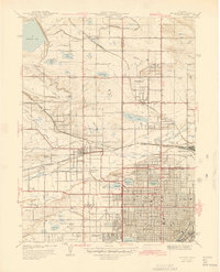
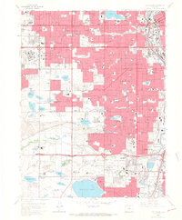
 1950 Arvada1950 Print · USGSMid-century Jefferson County comes to life as Denver’s western edge begins its suburban transformation from a landscape of irrigation ditches and small farms. Researchers can trace the original footprints of Arvada, Wheatridge, and local landmarks like the Crown Hill Cemetery and Regis College.
 - 1953 Map of Denver, 1964 Print
 1953 Denver1964 Print · USGSDenver and the Colorado Front Range are captured here during a decade of post-war growth and military expansion. Researchers can trace the sprawling rail lines of the Union Pacific, locate the State Capitol, and explore historic mountain mining hubs like Central City.6 unique versions available
 - 1957 Map of Denver
 1957 Denver1957 Print · USGSDenver and the Colorado Front Range are seen here during a mid-century period of intense military and urban expansion. Trace the footprints of the Rocky Mountain Arsenal, the early United States Air Force Academy, and the Lowry AF Base.
 - 1957 Map of Fort Logan, 1958 Print
 1957 Fort Logan1958 Print · USGSDenver's southwestern suburbs were in a period of significant postwar growth during the late fifties, blending military grounds with new residential tracts. Local historians can trace the footprints of the Fort Logan Military Reservation, the campus of Loretto Heights College, and the sprawling Federal Center.
 - 1957 Map of Arvada, 1958 Print
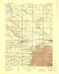
 1957 Arvada1958 Print · USGSThe northwest Denver suburbs are caught in a moment of post-war transformation, balancing old canal-fed agriculture with new residential growth. Local historians can trace established landmarks like Elitch Gardens, Regis College, and the sprawling Crown Hill Cemetery.3 unique versions available
 - 1958 Map of Denver
 1958 Denver1958 Print · USGSDenver and the Colorado Front Range are captured here during the mid-century suburban boom. Trace the footprints of military installations like Buckley Air Force Base alongside the established rail networks of the Colorado & Southern Ry.
 - 1960 Map of Denver
 1960 Denver1960 Print · USGSDenver and the Colorado Front Range are seen here at a pivotal moment of postwar expansion into the plains and foothills. Researchers can trace the mid-century rail network of the Denver & Rio Grande Western RR and locate historic institutional landmarks like Buckley Field and the Colorado School of Mines.
 - 1965 Map of Fort Logan, 1967 Print
 1965 Fort Logan1967 Print · USGSMid-century Denver and its southwestern suburbs are seen here during a period of rapid growth. Researchers can trace institutional footprints like Fort Logan and the Federal Correctional Institute alongside old rail lines and Marston Lake.5 unique versions available
 - 1965 Map of Arvada, 1967 Print
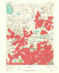 1965 Arvada1967 Print · USGSThe northern Denver suburbs were undergoing a massive post-war expansion in the mid-sixties, filling the spaces between long-standing irrigation canals and rail lines. You can trace the development of local neighborhoods through landmarks like Regis College, Crown Hill Cemetery, and Belleview College.6 unique versions available
 - 1983 Map of Denver West
 1983 Denver West1983 Print · USGSThe Front Range and Denver's western suburbs meet in the early 1980s, documenting the era's growth from the mountain peaks to the valley floor. Genealogists and historians can trace the foundations of Lakewood and Golden, or locate high-altitude landmarks like the Moffat Tunnel and Mount Olivet Cem.2 unique versions available
 - 2011 Map of Arvada, 2011 Print
 2011 Arvada2011 Print · USGSCovers Edgewater, including Lakewood, Thornton, and other nearby areas
 - 2011 Map of Fort Logan, 2011 Print
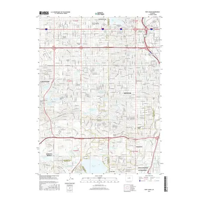
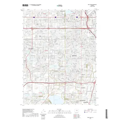
 2011 Fort Logan2011 Print · USGSCovers Edgewater, including Lakewood, Littleton, and other nearby areas
 - 2013 Map of Arvada, 2013 Print
 2013 Arvada2013 Print · USGSCovers Edgewater, including Lakewood, Thornton, and other nearby areas
 - 2013 Map of Fort Logan, 2013 Print
 2013 Fort Logan2013 Print · USGSCovers Edgewater, including Lakewood, Littleton, and other nearby areas
 - 2016 Map of Fort Logan, 2016 Print
 2016 Fort Logan2016 Print · USGSCovers Edgewater, including Lakewood, Littleton, and other nearby areas
 - 2016 Map of Arvada, 2016 Print
 2016 Arvada2016 Print · USGSCovers Edgewater, including Lakewood, Thornton, and other nearby areas
 - 2019 Map of Arvada, 2019 Print
 2019 Arvada2019 Print · USGSCovers Edgewater, including Lakewood, Thornton, and other nearby areas
 - 2019 Map of Fort Logan, 2019 Print
 2019 Fort Logan2019 Print · USGSCovers Edgewater, including Lakewood, Littleton, and other nearby areas
 - 2022 Map of Fort Logan, 2022 Print
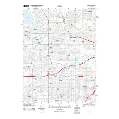
 2022 Fort Logan2022 Print · USGSThe Denver metro area and its southern suburbs are shown here in the early twenty-first century, featuring a landscape defined by historic water ditches and national landmarks. Researchers can trace the layout of Fort Logan National Cem and locate institutions like Colorado Christian University.
 - 2022 Map of Arvada, 2022 Print
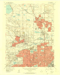
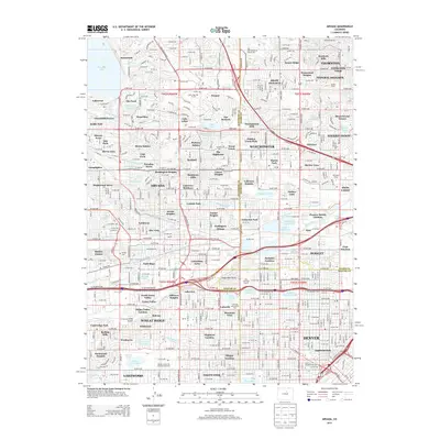
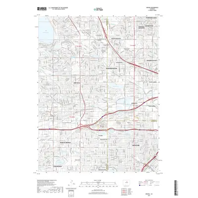
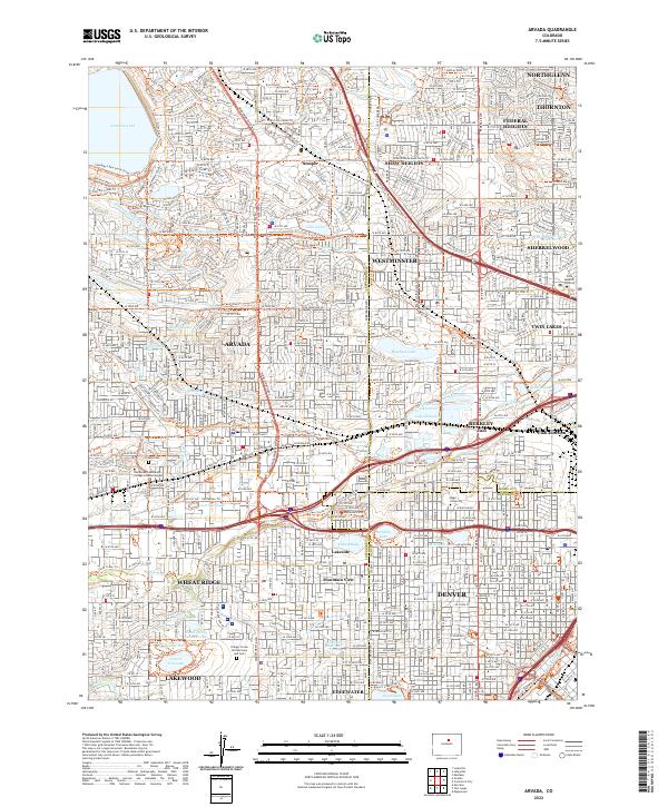 2022 Arvada2022 Print · USGSThe northern Denver suburbs and the Arvada corridor are shown in high detail during their modern expansion. Researchers can trace historic irrigation routes like the Croke Canal or locate local landmarks including Regis University and the Olinger Crown Hill Mortuary and Cem.
End of results
Showing maps 1-25 of 25
Top cities near Edgewater
- Denver historical maps
- Aurora historical maps
- Lakewood historical maps
- Thornton historical maps
- Arvada historical maps
- Westminster historical maps
See more
Frequently asked questions
- What are the different types of historical maps available for Edgewater?
- What is the oldest map of Edgewater?
- Where can I purchase historical maps of Edgewater for my home or office?
- Where can I download high-res historical maps of Edgewater?
- Are there historical topographic maps available for Edgewater?
- Is there historical aerial imagery available for Edgewater?
- Where are historical maps of Edgewater sourced from?