Old Maps of Waterfront, Loveland for Genealogy
Trace your family roots with 16 historic maps of Waterfront. These high-res maps reveal old neighborhoods, homesites, landmarks, and streets — helping you uncover where your ancestors lived and how the area evolved over time.
- Explore historic neighborhoods: Identify where your relatives may have lived in the 1800s or 1900s.
- Compare maps over time: Trace the changes in streets, buildings, and landmarks for multi-generational research.
- Perfect for genealogy & ancestry research: Used by family historians and researchers to map out lineage and migration.
These maps are an incredible resource for exploring your personal connection to Waterfront's past.
Waterfront, Loveland maps
(16)- 1906 Map of Loveland, 1954 Print
 1906 Loveland1954 Print · USGSThe Colorado plains meet the Front Range in the early 1900s, showing a landscape transformed by early irrigation and rail. Genealogists can trace family names across Loveland and Berthoud or locate rural sites like Masonville and Benson Lake.5 unique versions available
 - 1908 Map of Loveland
 1908 Loveland1908 Print · USGSThe Front Range foothills of Larimer County come alive in this early 1900s survey, showing a landscape transformed by water engineering and rail. Trace the original irrigation lines like Louden Ditch and find early industrial sites like the Plaster Mill.7 unique versions available
 - 1954 Map of Greeley, 1966 Print
 1954 Greeley1966 Print · USGSNorthern Colorado transitions from high-alpine peaks to the irrigated South Platte valley during this mid-century period of growth. Genealogists and historians can trace rail-connected hubs like Greeley and Longmont alongside landmarks like Horsetooth Reservoir and Estes Park.3 unique versions available
 - 1957 Map of Greeley
 1957 Greeley1957 Print · USGSNorthern Colorado in the mid-fifties is captured here as the agricultural plains of Weld County meet the high peaks of the Front Range. Genealogists and historians can trace rail-linked towns like Keenesburg and Roggen or locate early water features such as Boyd Lake and Fossil Creek Reservoir.
 - 1958 Map of Greeley
 1958 Greeley1958 Print · USGSNorthern Colorado and the high peaks of the Front Range appear here in the mid-fifties as the region's agricultural and rail networks were fully established. Genealogists can locate family homes near Virginia Dale, Waverly, or Kuner, and trace the path of the Union Pacific Railroad through Greeley.
 - 1960 Map of Loveland, 1965 Print
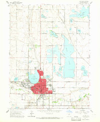 1960 Loveland1965 Print · USGSMid-century Larimer County comes to life in this detailed map of the Loveland area and its extensive reservoir system. Researchers can trace the industrial footprint of the Sugar Refinery or locate family sites near Lakeside Cem and Trilby Corner.
 - 1961 Map of Greeley
 1961 Greeley1961 Print · USGSNorthern Colorado's transition from high mountain peaks to irrigated plains is captured here just as the post-war population boom reached the Front Range. Researchers can trace early water infrastructure and rail lines like the Great Western RR connecting sugar beet hubs from Fort Collins to Greeley.
 - 1962 Map of Loveland, 1963 Print
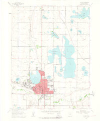 1962 Loveland1963 Print · USGSLoveland and the surrounding Larimer County lakes are captured here in the early sixties, showing a landscape defined by water and rail. Researchers can trace the lines of the Great Western railroad, locate the Sugar Refinery, or find rural landmarks like Trilby Corner and Mt Hope Sch.4 unique versions available
 - 1964 Map of Greeley
 1964 Greeley1964 Print · USGSThe Front Range corridor and high peaks of the Rockies appear here in the mid-1960s, showing the intersection of mountain wilderness and plains agriculture. Trace the rail routes of the Great Western RR or locate landmarks like Longs Peak and Horsetooth Reservoir.
 - 1965 Map of Greeley
 1965 Greeley1965 Print · USGSNorthern Colorado in the mid-sixties shows a landscape defined by high mountain summits and the growing irrigation networks of the plains. Genealogists and historians can trace rail-side towns like Wellington or follow the early tracks of the Union Pacific Railroad past Longs Peak.
 - 1984 Map of Estes Park
 1984 Estes Park1984 Print · USGSThe northern Front Range and high peaks come into focus during the mid-eighties, showing the intersection of mountain wilderness and urban expansion. Trace the rail lines of the Union Pacific, the shores of Lake Granby, and historic mountain towns like Gold Hill or Eldora.3 unique versions available
 - 2010 Map of Loveland, 2010 Print
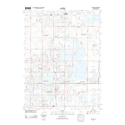
 2010 Loveland2010 Print · USGSCovers Waterfront, including Fort Collins, Loveland, and other nearby areas
 - 2013 Map of Loveland, 2013 Print
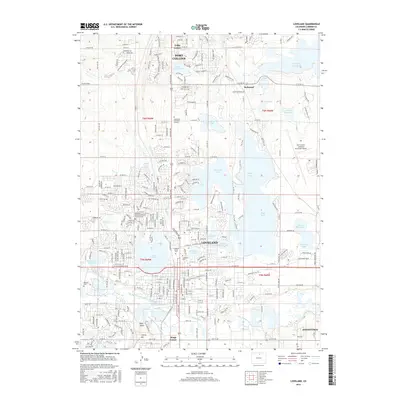
 2013 Loveland2013 Print · USGSCovers Waterfront, including Fort Collins, Loveland, and other nearby areas
 - 2016 Map of Loveland, 2016 Print
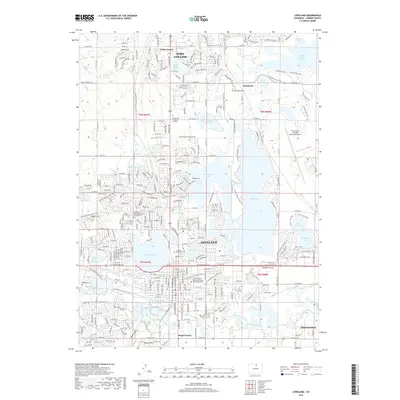
 2016 Loveland2016 Print · USGSCovers Waterfront, including Fort Collins, Loveland, and other nearby areas
 - 2019 Map of Loveland, 2019 Print
 2019 Loveland2019 Print · USGSCovers Waterfront, including Fort Collins, Loveland, and other nearby areas
 - 2022 Map of Loveland, 2022 Print
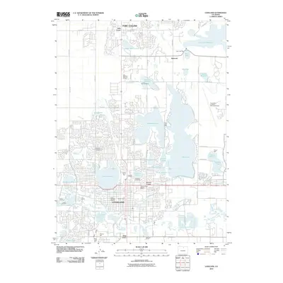
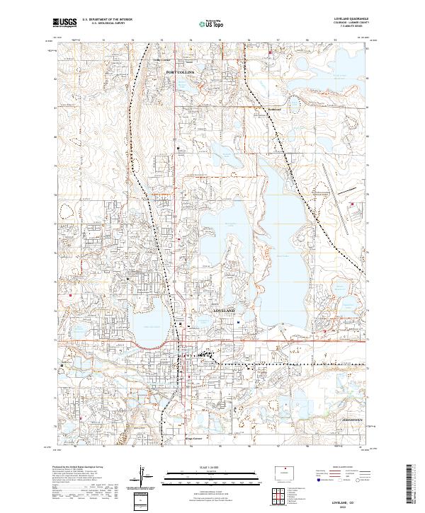 2022 Loveland2022 Print · USGSLarimer County at the start of the 2020s shows a sophisticated landscape of water management and suburban expansion. Researchers can trace the complex irrigation systems of the Big Thompson River or find family sites at Modena Cem and Loveland Burial Park.
End of results
Showing maps 1-16 of 16
Frequently asked questions
- What are the different types of historical maps available for Waterfront?
- What is the oldest map of Waterfront?
- Where can I purchase historical maps of Waterfront for my home or office?
- Where can I download high-res historical maps of Waterfront?
- Are there historical topographic maps available for Waterfront?
- Is there historical aerial imagery available for Waterfront?
- Where are historical maps of Waterfront sourced from?