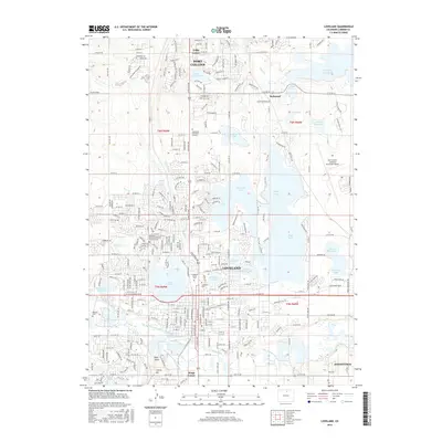
2016 Map of Loveland
USGS Topo · Published 2016About this map
Loveland and the southern edge of Fort Collins dominate this landscape, defined by an intricate network of irrigation and water storage essential to the region's development. The Big Thompson River flows through the southern reach, feeding the Loveland and Greeley Canal and the Big Thompson Ditch Number 2, reflecting the area's agricultural engineering. Prominent reservoirs such as Boyd Lake, Lake Loveland, and Fossil Cr Reservoir surround the urban centers, providing both utility and recreation.
Find a feature on this map
54 named features on this map. Tap any name to fly to it.
Don’t see what you’re looking for? This feature index may not catch every label — zoom into the map to look around manually.
Map Details
Editions of this 2016 Loveland Map
This is the sole edition of this map. No revisions or reprints were ever made.
Other maps of this area

1902 · Greeley
USGS Topo · 1:125,000

1906 · Loveland
USGS Topo · 1:62,500

1906 · Fort Collins
USGS Topo · 1:62,500

1907 · Livermore
USGS Topo · 1:125,000

1908 · Loveland
USGS Topo · 1:62,500

1908 · Fort Collins
USGS Topo · 1:62,500

1908 · Eaton
USGS Topo · 1:125,000

1909 · Livermore
USGS Topo · 1:125,000

1910 · Eaton
USGS Topo · 1:125,000

1950 · Windsor
USGS Topo · 1:24,000