2000s (21st Century) Maps of Kim, Colorado
Explore 10 historic maps of Kim from the 2000s (21st Century). These maps offer a rare glimpse into what life looked like during the 2000s — showing old roads, neighborhoods, homes, and landmarks that have changed or disappeared over time.
Whether you're researching your family's past, planning a metal detecting trip, or studying how Kim's landscape evolved across the 2000s, these high-resolution maps are a powerful tool for exploring the history of this region.
- Focus on a specific era: All maps on this page are from the 2000s, giving you a focused view of this time period.
- See what’s changed: Compare century-old streets, trails, and buildings to today's modern landscape using overlays and satellite layers.
- Research with precision: Use these maps for genealogy, historical research, land use analysis, or educational projects.
- View, download, or print: Maps are fully viewable online in high resolution, and can be downloaded or printed for your own records.
Start exploring Kim's history through authentic maps from the 2000s. This is your window into the past.
Kim, CO maps
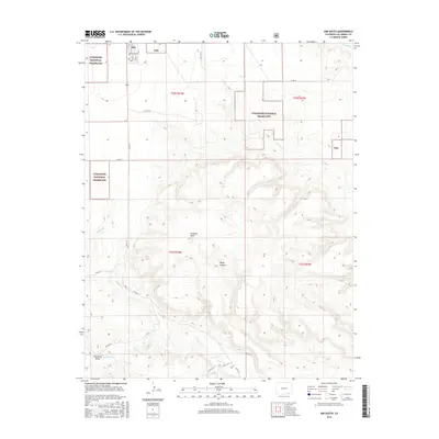
(10)- 2011 Map of Kim North, 2011 Print
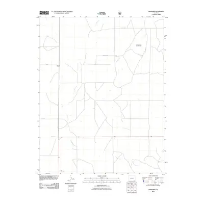 2011 Kim North2011 Print · USGSCovers Kim, including Las Animas County, United States, and other nearby areas
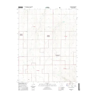
 - 2011 Map of Kim South, 2011 Print
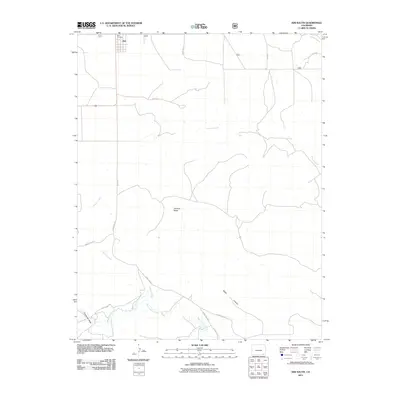 2011 Kim South2011 Print · USGSCovers Kim, including Las Animas County, United States, and other nearby areas
 - 2013 Map of Kim North, 2013 Print
 2013 Kim North2013 Print · USGSCovers Kim, including Las Animas County, United States, and other nearby areas
 - 2013 Map of Kim South, 2013 Print
 2013 Kim South2013 Print · USGSCovers Kim, including Las Animas County, United States, and other nearby areas
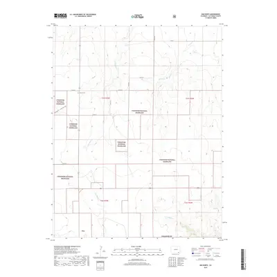
 - 2016 Map of Kim South, 2016 Print
 2016 Kim South2016 Print · USGSCovers Kim, including Las Animas County, United States, and other nearby areas
 - 2016 Map of Kim North, 2016 Print
 2016 Kim North2016 Print · USGSCovers Kim, including Las Animas County, United States, and other nearby areas
 - 2019 Map of Kim North, 2019 Print
 2019 Kim North2019 Print · USGSCovers Kim, including Las Animas County, United States, and other nearby areas
 - 2019 Map of Kim South, 2019 Print
 2019 Kim South2019 Print · USGSCovers Kim, including Las Animas County, United States, and other nearby areas
 - 2022 Map of Kim South, 2022 Print
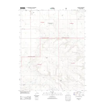
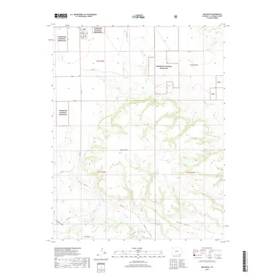
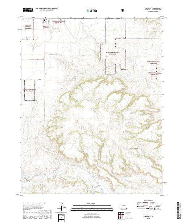 2022 Kim South2022 Print · USGSSettlement at the edge of the southeastern Colorado plains remains centered on Kim in the early twenty-first century. Genealogists can locate the Kim Cem and trace the drainage of Tecolate Cr through the Comanche National Grassland.
 - 2022 Map of Kim North, 2022 Print
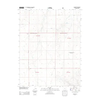
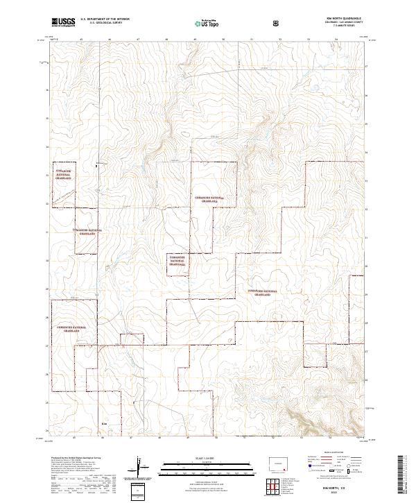 2022 Kim North2022 Print · USGSThe high plains south of the Arkansas River come alive in this 2022 survey of Las Animas County. Researchers can trace the historic Granada-Ft. Union Military Trl or locate the Edenview Cem and the small settlement of Kim.
End of results
Showing maps 1-10 of 10
Frequently asked questions
- What are the different types of historical maps available for Kim?
- What is the oldest map of Kim?
- Where can I purchase historical maps of Kim for my home or office?
- Where can I download high-res historical maps of Kim?
- Are there historical topographic maps available for Kim?
- Is there historical aerial imagery available for Kim?
- Where are historical maps of Kim sourced from?