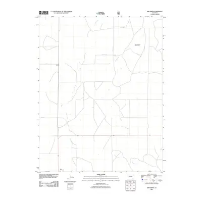
2011 Map of Kim North
USGS Topo · Published 2011About this map
Kim sits at the southwestern edge of this landscape, serving as a primary point of reference in an area defined by wide drainage networks and rural road systems. The terrain is marked by the seasonal flow of Two Butte Creek and Tuo Butte Creek, which traverse the prairie along with Dugout Creek and Pintada Creek. The presence of the Carl Sammons Division Dam in the northeast quadrant highlights the importance of water management in this high plains environment.
Find a feature on this map
14 named features on this map. Tap any name to fly to it.
Don’t see what you’re looking for? This feature index may not catch every label — zoom into the map to look around manually.
Map Details
Editions of this 2011 Kim North Map
This is the sole edition of this map. No revisions or reprints were ever made.
Other maps of this area

1892 · Mt Carrizo
USGS Topo · 1:125,000

1955 · La Junta
USGS Topo · 1:250,000

1958 · La Junta
USGS Topo · 1:250,000

1968 · La Junta
USGS Topo · 1:250,000
1978 · Dalerose Mesa
USGS Topo · 1:24,000

1978 · Pintada Creek
USGS Topo · 1:24,000
1978 · Robbers Roost Canyon
USGS Topo · 1:24,000
1978 · Icehouse Canyon
USGS Topo · 1:24,000
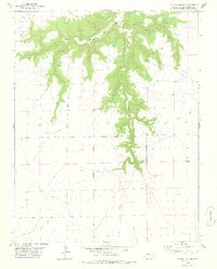
1978 · Cherry Canyon
USGS Topo · 1:24,000
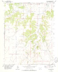
1978 · Buck Canyon
USGS Topo · 1:24,000