Old Maps of Kim, Colorado for Academic Research
Study the evolution of Kim with 19 high-resolution historic maps. Whether you're teaching, researching, or modeling changes in land use, these maps provide essential visual documentation of urban, environmental, and geographic change.
- Analyze long-term change: Track patterns in development, transportation, and natural features.
- Ideal for environmental or urban studies: Support academic projects with primary historical map data.
- Use in the classroom or lab: Educators and researchers rely on these maps to bring historical context to life.
These maps are a powerful tool for teaching, research, and visualizing how Kim has changed over the decades.
Kim, CO maps
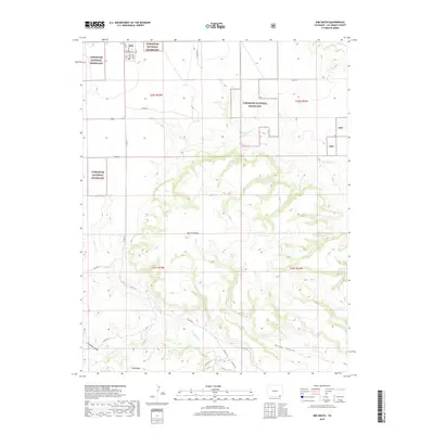
(19)- 1892 Map of Mt Carrizo
 1892 Mt Carrizo1892 Print · USGSSoutheastern Colorado in the early 1890s remained a landscape of high mesas and vital water holes. Historians can trace the original topography of Las Animas and Baca counties, locating critical sites like Carrizo Springs and Willow Spring.7 unique versions available
 - 1955 Map of La Junta, 1966 Print
 1955 La Junta1966 Print · USGSSoutheastern Colorado during the mid-fifties is captured here as a sprawling network of ranching outposts and rail sidings. Researchers can locate vanished landmarks like the Sunderland School, trace the isolated Lycan Post Office, or find the Bomb target (abandoned) on the western plains.3 unique versions available
 - 1958 Map of La Junta
 1958 La Junta1958 Print · USGSSoutheast Colorado and the Kansas borderlands appear in the late fifties as a landscape of isolated ranching outposts and vital rail junctions. Researchers can trace the lineage of vanished post offices and rural school sites like the Lycan Post Office and Sunderland School.2 unique versions available
 - 1968 Map of La Junta
 1968 La Junta1968 Print · USGSSoutheastern Colorado and the high plains appear in remarkable detail during the late 1960s, showing the intersection of irrigation, ranching, and rail. Genealogists can trace family footprints at the Lycan Post Office, Konantz Cem, and across numerous named cattle ranches.
 - 1978 Map of Kim South, 1979 Print
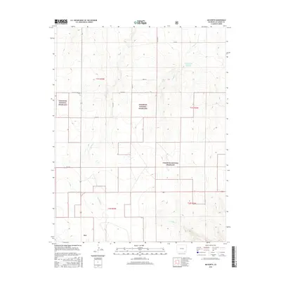
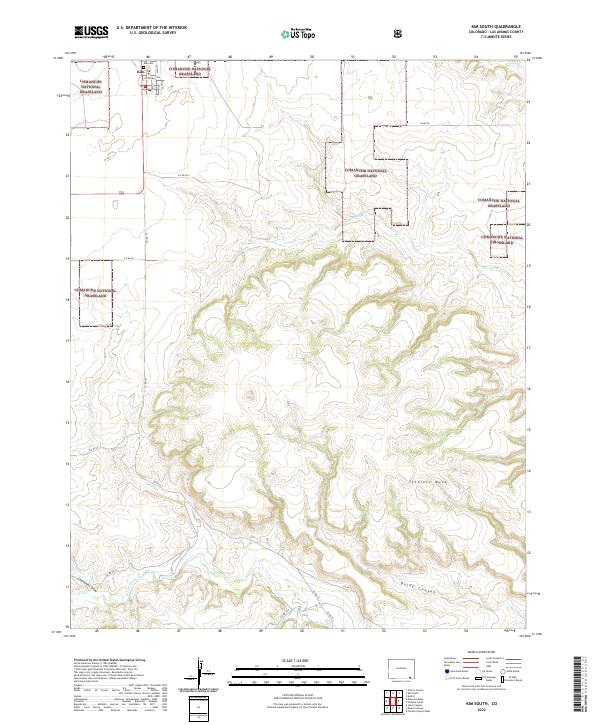
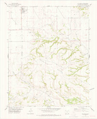 1978 Kim South1979 Print · USGSThe high plains of Las Animas County meet the rugged breaks of the canyonlands during the late 1970s. Local historians can trace the settlement at Kim or locate remote burial sites like Troy Cem near the banks of West Carrizo Creek.
 - 1979 Map of Kim North
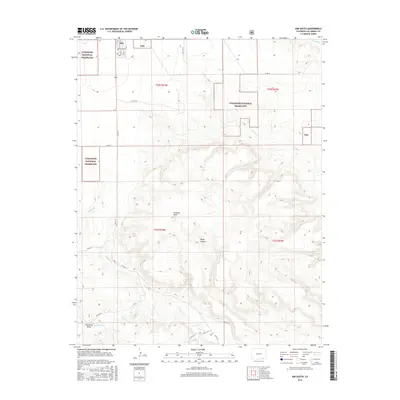
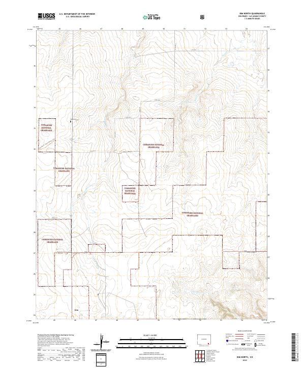
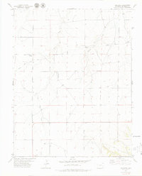 1979 Kim North1979 Print · USGSLas Animas County during the late 1970s reveals a vast ranching landscape shaped by high plains watercourses. Genealogists and historians can trace the diagonal path of the Santa Fe Trail or locate the Edenview Cem and the small community of Kim.
 - 1982 Map of Kim, 1983 Print
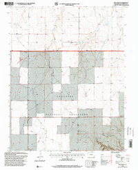
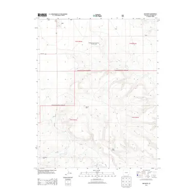
 1982 Kim1983 Print · USGSThe high plains of southern Colorado meet the New Mexico and Oklahoma borders in the early eighties. Genealogists and historians can trace the historic Santa Fe Trail and locate small ranching communities like Kim, Villegreen, and Utleyville.2 unique versions available
 - 1996 Map of Kim South, 2000 Print
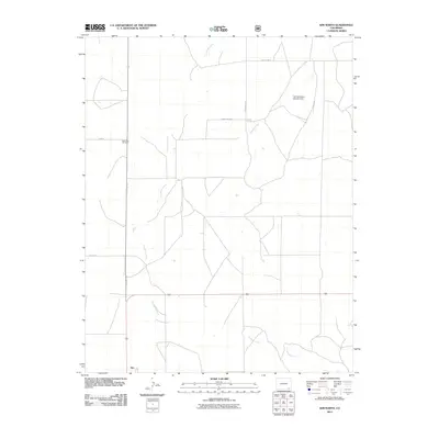
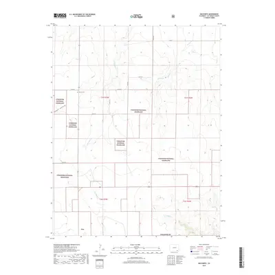
 1996 Kim South2000 Print · USGSThe high-plains settlement of Kim and the surrounding Comanche National Grassland are documented here in the mid-nineties. Genealogists and local historians can locate the Troy Cem, old Gravel Pits, and water sources like Pintada Creek.
 - 1996 Map of Kim North, 2000 Print
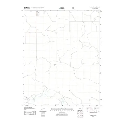
 1996 Kim North2000 Print · USGSLas Animas County in the mid-nineties remains a landscape defined by pioneer corridors and wide-open prairies. Researchers can trace the Santa Fe National Historic Trail, locate the Edenview Cem, and follow the winding course of Butte Creek.
 - 2011 Map of Kim North, 2011 Print
 2011 Kim North2011 Print · USGSCovers Kim, including Las Animas County, United States, and other nearby areas
 - 2011 Map of Kim South, 2011 Print
 2011 Kim South2011 Print · USGSCovers Kim, including Las Animas County, United States, and other nearby areas
 - 2013 Map of Kim North, 2013 Print
 2013 Kim North2013 Print · USGSCovers Kim, including Las Animas County, United States, and other nearby areas
 - 2013 Map of Kim South, 2013 Print
 2013 Kim South2013 Print · USGSCovers Kim, including Las Animas County, United States, and other nearby areas
 - 2016 Map of Kim South, 2016 Print
 2016 Kim South2016 Print · USGSCovers Kim, including Las Animas County, United States, and other nearby areas
 - 2016 Map of Kim North, 2016 Print
 2016 Kim North2016 Print · USGSCovers Kim, including Las Animas County, United States, and other nearby areas
 - 2019 Map of Kim North, 2019 Print
 2019 Kim North2019 Print · USGSCovers Kim, including Las Animas County, United States, and other nearby areas
 - 2019 Map of Kim South, 2019 Print
 2019 Kim South2019 Print · USGSCovers Kim, including Las Animas County, United States, and other nearby areas
 - 2022 Map of Kim South, 2022 Print
 2022 Kim South2022 Print · USGSSettlement at the edge of the southeastern Colorado plains remains centered on Kim in the early twenty-first century. Genealogists can locate the Kim Cem and trace the drainage of Tecolate Cr through the Comanche National Grassland.
 - 2022 Map of Kim North, 2022 Print
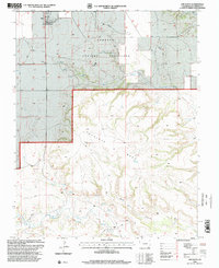
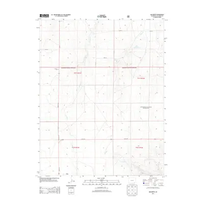
 2022 Kim North2022 Print · USGSThe high plains south of the Arkansas River come alive in this 2022 survey of Las Animas County. Researchers can trace the historic Granada-Ft. Union Military Trl or locate the Edenview Cem and the small settlement of Kim.
End of results
Showing maps 1-19 of 19
Frequently asked questions
- What are the different types of historical maps available for Kim?
- What is the oldest map of Kim?
- Where can I purchase historical maps of Kim for my home or office?
- Where can I download high-res historical maps of Kim?
- Are there historical topographic maps available for Kim?
- Is there historical aerial imagery available for Kim?
- Where are historical maps of Kim sourced from?