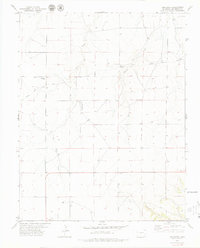
1979 Map of Kim North
USGS Topo · Published 1979About this map
Kim sits at the southern edge of this topographic landscape in Las Animas County, serving as a focal point for the surrounding high plains ranching country. The terrain is defined by the drainage networks of Two Butte Creek and Pintada Creek, which carve subtle depressions across the prairie. A historical through-line is preserved here in the marking of the Santa Fe Trail, which cuts diagonally across the northwestern sections, tracing the footsteps of nineteenth-century pioneers through this arid environment. Local history is anchored by the Edenview Cem and the utility of water sources like Willow Spring and Willow No 2. This 1970s record shows a landscape of wide-open spaces where survival and transit relied heavily on the seasonal flows of creeks and well-placed landings, such as the indicated Landing Strip.
Find a feature on this map
12 named features on this map. Tap any name to fly to it.
Don’t see what you’re looking for? This feature index may not catch every label — zoom into the map to look around manually.
Map Details
Editions of this 1979 Kim North Map
This is the sole edition of this map. No revisions or reprints were ever made.
Other maps of this area

1892 · Mt Carrizo
USGS Topo · 1:125,000

1955 · La Junta
USGS Topo · 1:250,000

1958 · La Junta
USGS Topo · 1:250,000

1968 · La Junta
USGS Topo · 1:250,000
1978 · Dalerose Mesa
USGS Topo · 1:24,000

1978 · Pintada Creek
USGS Topo · 1:24,000
1978 · Robbers Roost Canyon
USGS Topo · 1:24,000
1978 · Icehouse Canyon
USGS Topo · 1:24,000
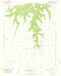
1978 · Cherry Canyon
USGS Topo · 1:24,000
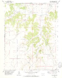
1978 · Buck Canyon
USGS Topo · 1:24,000