
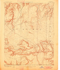
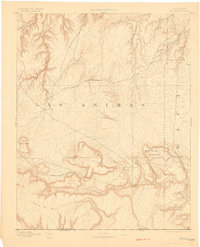
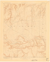
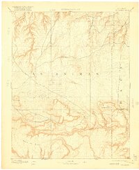
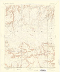
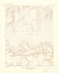
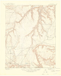
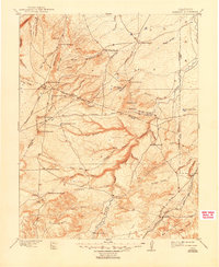
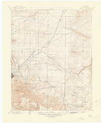
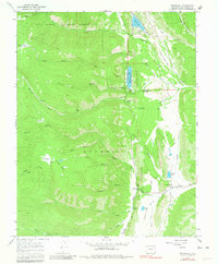
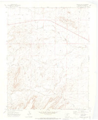
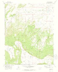
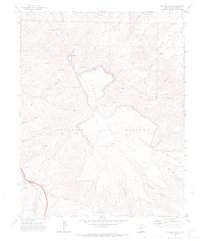
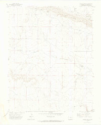
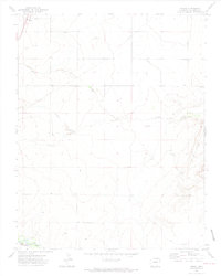
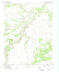
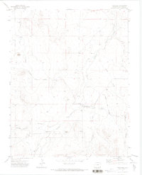
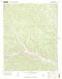
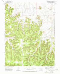
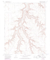
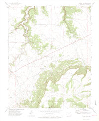
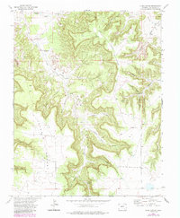
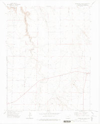
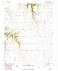
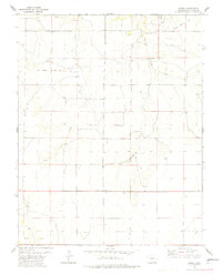
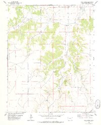
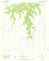
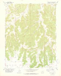
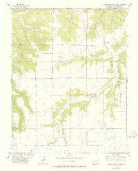
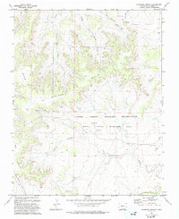
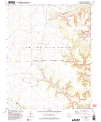
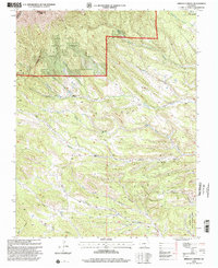
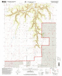
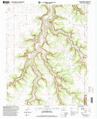
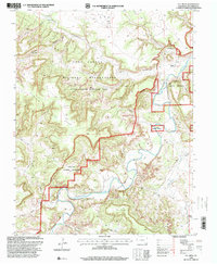
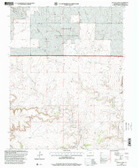
1892 Map of Mt Carrizo
USGS Topo · Published 1892This historical map portrays the area of Mt Carrizo in 1892, primarily covering Las Animas County as well as portions of Oklahoma and New Mexico. Featuring a scale of 1:125000, this map provides a highly detailed snapshot of the terrain, roads, buildings, counties, and historical landmarks in the Mt Carrizo region at the time. Published in 1892, it is one of 7 known editions of this map due to revisions or reprints.
Find a feature on this map
15 named features on this map. Tap any name to fly to it.
Don’t see what you’re looking for? This feature index may not catch every label — zoom into the map to look around manually.
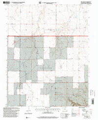
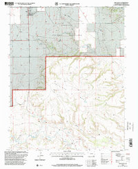
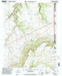
Map Details
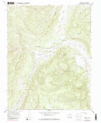
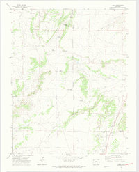
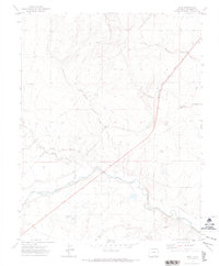
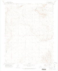
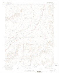
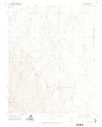
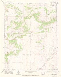
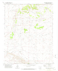
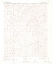
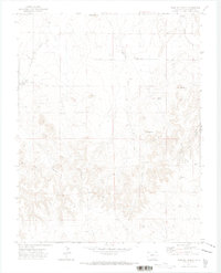
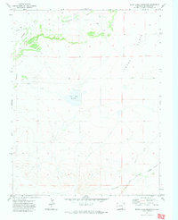
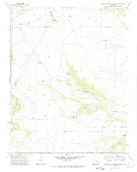
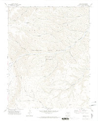
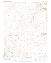
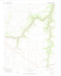
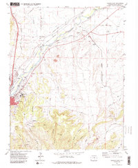
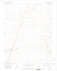
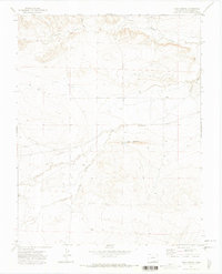
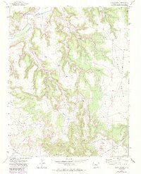
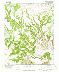
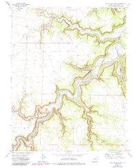
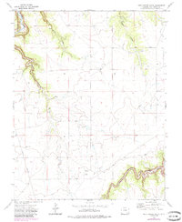
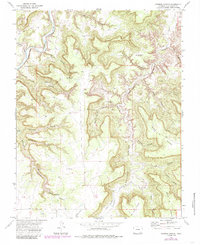
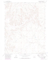
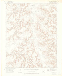
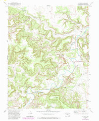
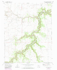
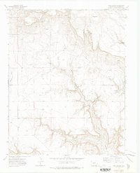
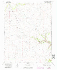
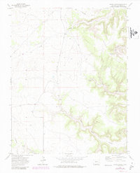
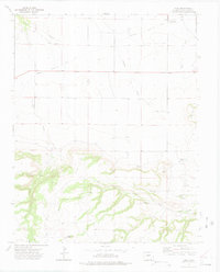
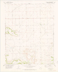
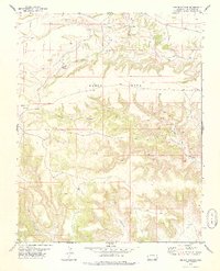
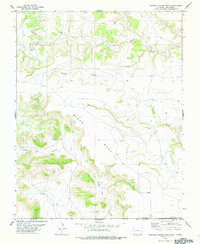
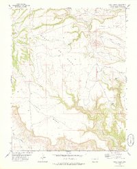
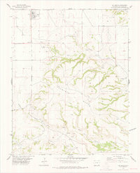
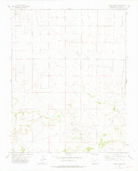
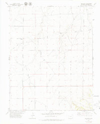
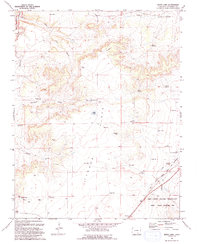
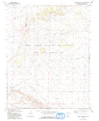
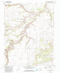
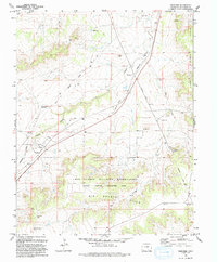
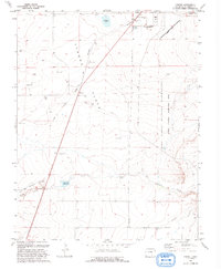
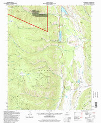
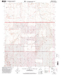
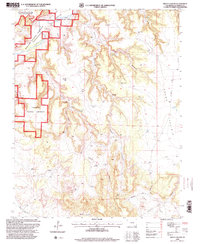
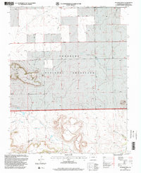
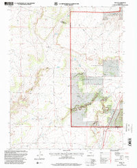
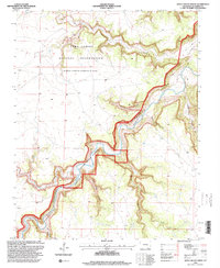
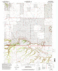
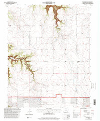
Editions of this 1892 Mt Carrizo Map
7 editions found
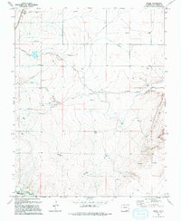
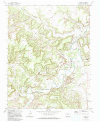
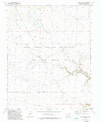
Historical Maps of Kim Through Time
109 maps found

1891 Apishapa
Las Animas County, CO

1891 Mesa De Maya
Las Animas County, CO

1892 Elmoro
Las Animas County, CO
1892 Mount Carrizo
Las Animas County, CO

1893 Apishapa
Las Animas County, CO

1893 Elmoro
Las Animas County, CO
1893 Mesa De Maya
Las Animas County, CO

1895 Spanish Peaks
Las Animas County, CO
1897 Apishapa
Las Animas County, CO
1897 Elmoro
Las Animas County, CO
1897 Spanish Peaks
Las Animas County, CO

1900 Spanish Peaks
Las Animas County, CO
1951 Madrid
Las Animas County, CO
1951 Trinidad West
Las Animas County, CO
1967 Stonewall
Las Animas County, CO
1967 Torres
Las Animas County, CO
1970 Delhi
Las Animas County, CO
1970 Earl
Las Animas County, CO
1970 Mooney Hills
Las Animas County, CO
1970 Pryor SE
Las Animas County, CO
1970 Thatcher
Las Animas County, CO
1971 Abeyta
Las Animas County, CO
1971 Barela
Las Animas County, CO
1971 Bates Lake
Las Animas County, CO
1971 Brown Sheep Camp
Las Animas County, CO
1971 Delagua
Las Animas County, CO
1971 Fishers Peak
Las Animas County, CO

1971 Gulnare
Las Animas County, CO
1971 Herlick Canyon
Las Animas County, CO
1971 Hidden Valley Ranch
Las Animas County, CO
1971 Jones Lake Spring
Las Animas County, CO
1971 Lambing Spring
Las Animas County, CO
1971 Little Dome
Las Animas County, CO
1971 Little Pine Canyon
Las Animas County, CO
1971 Ludlow
Las Animas County, CO
1971 Model
Las Animas County, CO

1971 Patterson Crossing
Las Animas County, CO
1971 Plug Hat Ranch
Las Animas County, CO
1971 Seven Lakes Reservoir
Las Animas County, CO
1971 South Rattlesnake Butte
Las Animas County, CO
1971 Sun Valley Ranch
Las Animas County, CO
1971 Tercio
Las Animas County, CO
1971 The Hogback
Las Animas County, CO
1971 Trinchera Cave
Las Animas County, CO
1971 Trinchera
Las Animas County, CO
1971 Trinidad East
Las Animas County, CO
1971 Tyrone
Las Animas County, CO
1971 Vega Corral
Las Animas County, CO
1971 Vigil
Las Animas County, CO
1972 Beaty Canyon
Las Animas County, CO
1972 Box Ranch
Las Animas County, CO
1972 Branson SE
Las Animas County, CO
1972 Brown Canyon
Las Animas County, CO
1972 Cobert Mesa North
Las Animas County, CO
1972 Doss Canyon North
Las Animas County, CO
1972 Doss Canyon South
Las Animas County, CO
1972 Humbar Spring
Las Animas County, CO
1972 Johnson Canyon
Las Animas County, CO
1972 Lockwood Arroyo
Las Animas County, CO
1972 Lost Canyon
Las Animas County, CO
1972 Miners Peak
Las Animas County, CO
1972 O V Mesa
Las Animas County, CO
1972 Painted Canyon
Las Animas County, CO
1972 Pine Canyon
Las Animas County, CO
1972 Plum Canyon
Las Animas County, CO
1972 Rock Crossing
Las Animas County, CO
1972 Stage Canyon
Las Animas County, CO
1972 Tobe
Las Animas County, CO
1972 Trementina Canyon
Las Animas County, CO
1972 Villegreen
Las Animas County, CO
1978 Andrix
Las Animas County, CO
1978 Buck Canyon
Las Animas County, CO
1978 Cherry Canyon
Las Animas County, CO
1978 Dalerose Mesa
Las Animas County, CO
1978 Dennis Canyon
Las Animas County, CO
1978 Furnish Canyon West
Las Animas County, CO
1978 Icehouse Canyon
Las Animas County, CO
1978 Jesus Canyon
Las Animas County, CO
1978 Kim South
Las Animas County, CO
1978 Pintada Creek
Las Animas County, CO
1978 Robbers Roost Canyon
Las Animas County, CO
1979 Kim North
Las Animas County, CO
1993 Bates Lake
Las Animas County, CO
1993 Brown Sheep Camp
Las Animas County, CO

1993 Delhi
Las Animas County, CO
1993 Lockwood Arroyo
Las Animas County, CO
1993 Model
Las Animas County, CO
1993 O V Mesa
Las Animas County, CO
1993 Rock Crossing
Las Animas County, CO
1993 Stage Canyon
Las Animas County, CO
1993 Sun Valley Ranch
Las Animas County, CO
1993 Thatcher
Las Animas County, CO
1993 Tyrone
Las Animas County, CO
1994 Herlick Canyon
Las Animas County, CO
1994 Stonewall
Las Animas County, CO
1996 Andrix
Las Animas County, CO
1996 Beaty Canyon
Las Animas County, CO
1996 Cherry Canyon
Las Animas County, CO
1996 Dalerose Mesa
Las Animas County, CO
1996 Delhi
Las Animas County, CO
1996 Doss Canyon North
Las Animas County, CO
1996 Humbar Spring
Las Animas County, CO
1996 Kim North
Las Animas County, CO
1996 Kim South
Las Animas County, CO
1996 Miners Peak
Las Animas County, CO
1996 O V Mesa
Las Animas County, CO
1996 Pintada Creek
Las Animas County, CO
1996 Tobe
Las Animas County, CO
1996 Villegreen
Las Animas County, CO