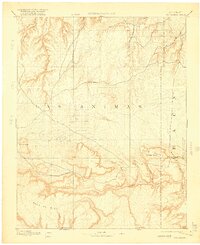
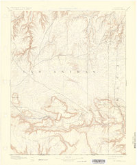
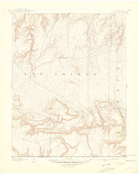
1892 Map of Mt Carrizo
USGS Topo · Published 1916About this map
Las Animas and Baca counties meet in this high-plains landscape, documented by geographer A.H. Thompson just before the turn of the century. The terrain is defined by dramatic escarpments and isolated volcanic features, most notably the massive Mesa De Maya along the southern Colorado-New Mexico border and the prominent volcanic dome of Carrizo Mountain. At this early stage of settlement, the map shows the small outpost of Kim and essential water sources like Willow Spring and East Carrizo Springs that served as critical points for ranching and travelers.
Find a feature on this map
19 named features on this map. Tap any name to fly to it.
Don’t see what you’re looking for? This feature index may not catch every label — zoom into the map to look around manually.
Map Details
Editions of this 1892 Mt Carrizo Map
7 editions found
Other maps of this area

1891 · Higbee
USGS Topo · 1:125,000

1891 · Timpas
USGS Topo · 1:125,000

1891 · Springfield
USGS Topo · 1:125,000

1891 · Mesa De Maya
USGS Topo · 1:125,000

1892 · Two Butte
USGS Topo · 1:125,000

1892 · Mt Carrizo
USGS Topo · 1:125,000

1893 · Higbee
USGS Topo · 1:125,000

1893 · Two Butte
USGS Topo · 1:125,000

1893 · Springfield
USGS Topo · 1:125,000

1893 · Mesa de Maya
USGS Topo · 1:125,000