Old Maps of Hugo, Colorado for Hiking & Exploration
Hike through history with 10 historic maps of Hugo. Explore old trails, ghost towns, and forgotten backroads — perfect for outdoor adventurers and local explorers.
- Rediscover forgotten places: Map out old mining camps, roads, and footpaths that no longer exist on modern maps.
- Layer with modern tools: Combine with LiDAR or satellite views to plan hikes through historical terrain.
- Made for exploration: Popular among hikers, overlanders, and local history lovers.
Use these maps to find adventure and explore the hidden past of Hugo.
Hugo, CO maps
(10)- 1954 Map of Limon
 1954 Limon1954 Print · USGSThe Eastern Colorado plains and the Kansas borderlands come alive in the mid-fifties, showing the vital rail-and-road corridor through Limon. Genealogists and historians can trace the Chicago Rock Island & Pacific line through Burlington and find remote outposts like Arickaree and Anton.4 unique versions available
 - 1957 Map of Limon
 1957 Limon1957 Print · USGSThe High Plains of Eastern Colorado and Western Kansas come alive in the mid-1950s, showing the vital rail-and-road connections of the era. You can trace the path of the Chicago Rock Island and Pacific through towns like Limon, Stratton, and Burlington or find the early footprint of Bonny Reservoir.
 - 1958 Map of Limon
 1958 Limon1958 Print · USGSEastern Colorado and the Kansas border meet in this late-fifties study of High Plains rail and river systems. Researchers can trace the path of the Chicago Rock Island and Pacific through Limon and Burlington, or locate the Bonny Dam and Bonny Reservoir.
 - 1980 Map of Hugo
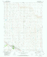 1980 Hugo1980 Print · USGSThe town of Hugo and its surrounding high plains are captured in the late 1970s as a vital rail and ranching hub. Genealogists and local historians can locate the Hugo Evergreen Cem, the Union Pacific rail corridor, and the County Fairground.
 - 1984 Map of Limon
 1984 Limon1984 Print · USGSEastern Colorado's High Plains are captured in the mid-1980s, centered on the vital transportation crossroads of Limon. Researchers can trace the path of the Union Pacific through small prairie settlements like Genoa, Bovina, and Agate.
 - 2010 Map of Hugo, 2010 Print
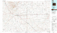
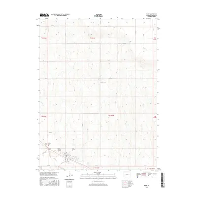
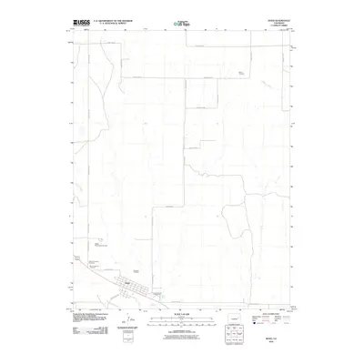 2010 Hugo2010 Print · USGSCovers Hugo, including Lincoln County, United States, and other nearby areas
 - 2013 Map of Hugo, 2013 Print
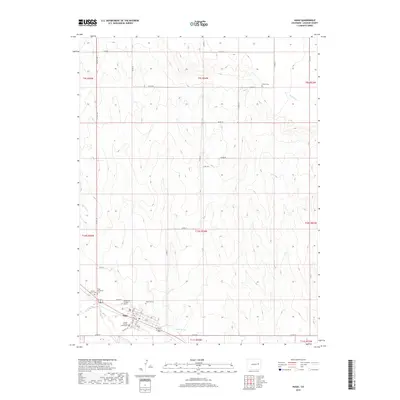
 2013 Hugo2013 Print · USGSCovers Hugo, including Lincoln County, United States, and other nearby areas
 - 2016 Map of Hugo, 2016 Print
 2016 Hugo2016 Print · USGSCovers Hugo, including Lincoln County, United States, and other nearby areas
 - 2019 Map of Hugo, 2019 Print
 2019 Hugo2019 Print · USGSCovers Hugo, including Lincoln County, United States, and other nearby areas
 - 2022 Map of Hugo, 2022 Print
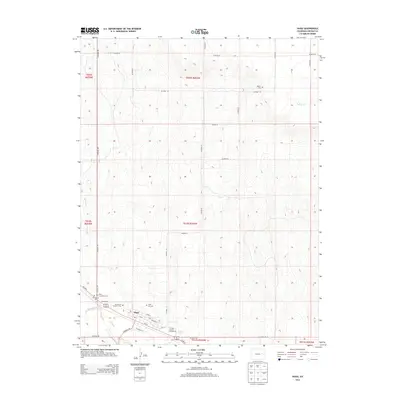
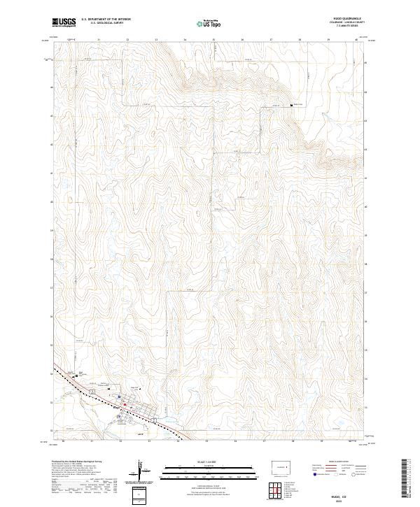 2022 Hugo2022 Print · USGSHugo and the surrounding High Plains are shown in detail as the town remains the vital hub of Lincoln County. Family historians can locate several burial grounds, including Hugo Old Cem, the Lincoln County Courthouse, and the isolated Doctor A H Coulson Grave.
End of results
Showing maps 1-10 of 10
Top cities near Hugo
Frequently asked questions
- What are the different types of historical maps available for Hugo?
- What is the oldest map of Hugo?
- Where can I purchase historical maps of Hugo for my home or office?
- Where can I download high-res historical maps of Hugo?
- Are there historical topographic maps available for Hugo?
- Is there historical aerial imagery available for Hugo?
- Where are historical maps of Hugo sourced from?