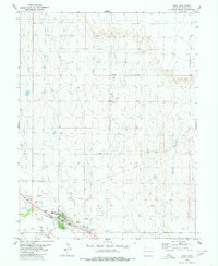
1980 Map of Hugo
USGS Topo · Published 1980About this map
The town of Hugo serves as the focal point of this 1980 survey, situated where the Union Pacific railroad tracks parallel the course of Big Sandy Creek. This high plains landscape is characterized by its transportation and civic infrastructure, featuring a Municipal Airport, a Heliport, and a County Fairground complete with a Racetrack. The map reveals the community's organized layout, including medical and recreational facilities like the Hosp and Golf Course on the town's western edge.
Find a feature on this map
21 named features on this map. Tap any name to fly to it.
Don’t see what you’re looking for? This feature index may not catch every label — zoom into the map to look around manually.
Map Details
Editions of this 1980 Hugo Map
This is the sole edition of this map. No revisions or reprints were ever made.
Other maps of this area
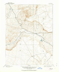
1891 · Limon
USGS Topo · 1:125,000
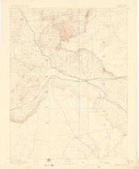
1892 · Limon
USGS Topo · 1:125,000
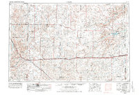
1954 · Limon
USGS Topo · 1:250,000
1957 · Limon
USGS Topo · 1:250,000
1958 · Limon
USGS Topo · 1:250,000
1978 · Clifford
USGS Topo · 1:24,000
1979 · Sevenmile Ranch
USGS Topo · 1:24,000
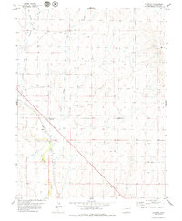
1979 · Clifford
USGS Topo · 1:24,000
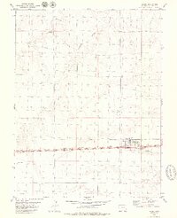
1979 · Arriba
USGS Topo · 1:24,000
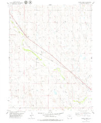
1979 · Barron Creek
USGS Topo · 1:24,000