2000s (21st Century) Maps of Spar City, Colorado
Explore 6 historic maps of Spar City from the 2000s (21st Century). These maps offer a rare glimpse into what life looked like during the 2000s — showing old roads, neighborhoods, homes, and landmarks that have changed or disappeared over time.
Whether you're researching your family's past, planning a metal detecting trip, or studying how Spar City's landscape evolved across the 2000s, these high-resolution maps are a powerful tool for exploring the history of this region.
- Focus on a specific era: All maps on this page are from the 2000s, giving you a focused view of this time period.
- See what’s changed: Compare century-old streets, trails, and buildings to today's modern landscape using overlays and satellite layers.
- Research with precision: Use these maps for genealogy, historical research, land use analysis, or educational projects.
- View, download, or print: Maps are fully viewable online in high resolution, and can be downloaded or printed for your own records.
Start exploring Spar City's history through authentic maps from the 2000s. This is your window into the past.
Spar City, CO maps
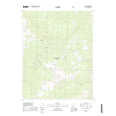
(6)- 2001 Map of Spar City, 2005 Print
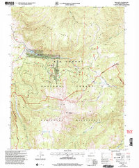 2001 Spar City2005 Print · USGSThe high country of Mineral County was still a landscape of active discovery and mountain wilderness at the turn of the millennium. Mineral prospectors and hikers can trace the legacy of Spar City and find old workings like the Denver Tunnel and Emme Mine.
 - 2011 Map of Spar City, 2011 Print
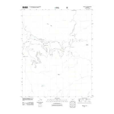 2011 Spar City2011 Print · USGSCovers Spar City, including Mineral County, United States, and other nearby areas
 - 2013 Map of Spar City, 2013 Print
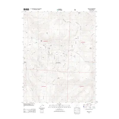 2013 Spar City2013 Print · USGSCovers Spar City, including Mineral County, United States, and other nearby areas
 - 2016 Map of Spar City, 2016 Print
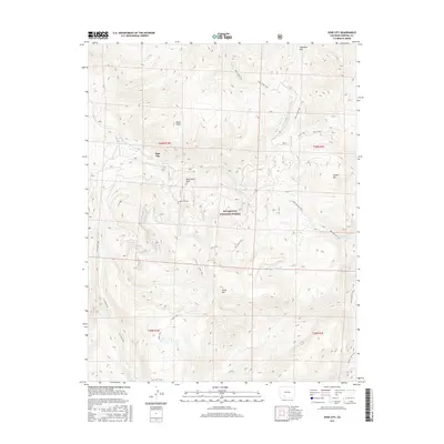 2016 Spar City2016 Print · USGSCovers Spar City, including Mineral County, United States, and other nearby areas
 - 2019 Map of Spar City, 2019 Print
 2019 Spar City2019 Print · USGSCovers Spar City, including Mineral County, United States, and other nearby areas
 - 2022 Map of Spar City, 2022 Print
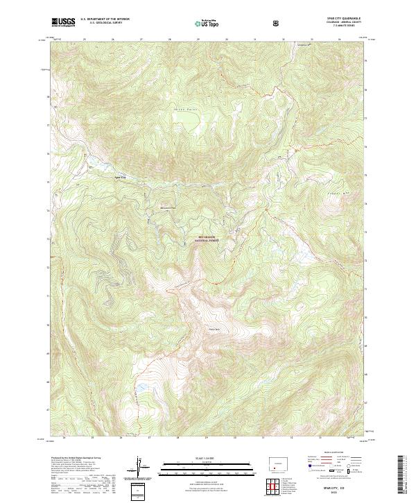 2022 Spar City2022 Print · USGSThe high mountain terrain of Mineral County is mapped here in the early twenty-first century, centered on the historic settlement of Spar City. You can trace the rugged backcountry trail networks including Ivy Creek Trl and Fisher Mountain Trl as they climb toward summits like Snowshoe Mtn.
End of results
Showing maps 1-6 of 6
Top cities near Spar City
Frequently asked questions
- What are the different types of historical maps available for Spar City?
- What is the oldest map of Spar City?
- Where can I purchase historical maps of Spar City for my home or office?
- Where can I download high-res historical maps of Spar City?
- Are there historical topographic maps available for Spar City?
- Is there historical aerial imagery available for Spar City?
- Where are historical maps of Spar City sourced from?