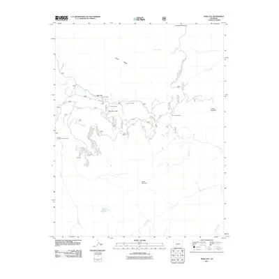
2011 Map of Spar City
USGS Topo · Published 2011About this map
Spar City serves as the focal point for this survey of the San Juan Mountains, reflecting the area's legacy of extraction. The landscape is defined by its industrial history, specifically centered around Spar City Mine and the cluster of operations along the heights of Monument Peak. Notable sites include the Denver Tunnel Mine, Bird Creek Mine, and the Emma Mine, along with the significant engineering of the Denver Tunnel. This mountain terrain is carved by numerous watercourses such as Lime Creek and Polo Alto Creek, which drain into the Roaring Fork and Fisher Creek. Beyond the mining works, the area accommodates recreational use at the Ivy Creek Campground and Trailhead and North Lime Trailhead, providing access to the high elevations of Snowshoe Mountain and Fisher Mountain.
Find a feature on this map
25 named features on this map. Tap any name to fly to it.
Don’t see what you’re looking for? This feature index may not catch every label — zoom into the map to look around manually.
Map Details
Editions of this 2011 Spar City Map
This is the sole edition of this map. No revisions or reprints were ever made.
Other maps of this area

1905 · San Cristobal
USGS Topo · 1:125,000

1907 · San Cristobal
USGS Topo · 1:125,000

1914 · Creede
USGS Topo · 1:125,000

1916 · Creede
USGS Topo · 1:125,000

1945 · Durango
USGS Topo · 1:250,000

1953 · Durango
USGS Topo · 1:250,000

1954 · Durango
USGS Topo · 1:250,000

1957 · Spar City
USGS Topo · 1:62,500

1959 · Creede
USGS Topo · 1:62,500

1959 · Bristol Head
USGS Topo · 1:62,500