
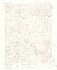
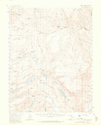
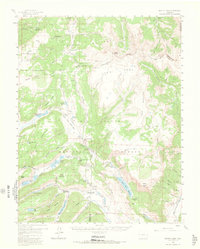
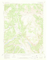
1959 Map of Bristol Head
USGS Topo · Published 1961About this map
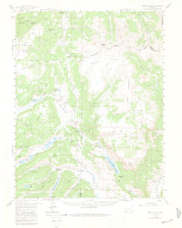
The Continental Divide serpentines across this high-altitude landscape of the San Juan Mountains, marking a rugged frontier where the Gunnison National Forest meets the Rio Grande National Forest. This 1959 field-checked survey reveals the remnants of nineteenth-century transit, most notably the Powderhorn Old Stage Sta (Ruins) and the San Juan Ranch (Old Stage Sta), documenting the legacy of stagecoach travel before modern roads dominated the passes.
Find a feature on this map
69 named features on this map. Tap any name to fly to it.
Don’t see what you’re looking for? This feature index may not catch every label — zoom into the map to look around manually.
Map Details
Editions of this 1959 Bristol Head Map
7 editions found
Other maps of this area

1903 · Lake City
USGS Topo · 1:62,500

1905 · Lake City
USGS Topo · 1:62,500

1905 · San Cristobal
USGS Topo · 1:125,000

1907 · San Cristobal
USGS Topo · 1:125,000

1908 · Uncompahgre
USGS Topo · 1:125,000

1911 · Uncompahgre
USGS Topo · 1:125,000

1914 · Creede
USGS Topo · 1:125,000

1916 · Creede
USGS Topo · 1:125,000

1945 · Durango
USGS Topo · 1:250,000

1953 · Durango
USGS Topo · 1:250,000