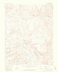
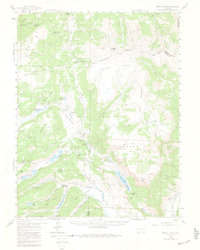
1959 Map of Bristol Head
USGS Topo · Published 1966About this map
Gunnison National Forest and Rio Grande National Forest meet at the Continental Divide in this mid-century survey of the high San Juan Mountains. The landscape is defined by the high-altitude Snow Mesa and Table Mountain, where a network of stock driveways and jeep trails connects remote water sources. Historic transportation routes are visible through Slumgullion Pass and Spring Creek Pass, following the same paths used by the Old Stage Sta (Ruins) and the San Juan Ranch. Local water management is evident in the Santa Maria Reservoir and Rito Hondo Reservoir, which capture snowmelt for the valleys below. From the sheer drop of North Clear Creek Falls to the fishing waters of the Hermit Lakes, this map documents a wilderness transitioning into a managed recreational and pastoral resource.
Find a feature on this map
101 named features on this map. Tap any name to fly to it.
Don’t see what you’re looking for? This feature index may not catch every label — zoom into the map to look around manually.
Map Details
Editions of this 1959 Bristol Head Map
7 editions found

Other maps of this area

1903 · Lake City
USGS Topo · 1:62,500

1905 · Lake City
USGS Topo · 1:62,500

1905 · San Cristobal
USGS Topo · 1:125,000

1907 · San Cristobal
USGS Topo · 1:125,000

1908 · Uncompahgre
USGS Topo · 1:125,000

1911 · Uncompahgre
USGS Topo · 1:125,000

1914 · Creede
USGS Topo · 1:125,000

1916 · Creede
USGS Topo · 1:125,000

1945 · Durango
USGS Topo · 1:250,000

1953 · Durango
USGS Topo · 1:250,000