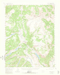
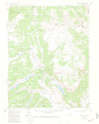
1959 Map of Bristol Head
USGS Topo · Published 1966About this map
The Continental Divide winds through this high-elevation landscape, separating the headwaters of the Rio Grande from the northern drainages of the Gunnison National Forest. Historical transit is marked by remnants of the 19th-century frontier, specifically the Powderhorn Old Stage Sta (Ruins) and the San Juan Ranch (Old Stage Sta), which served travelers crossing the high country before modern highways. Water management for the region is prominent, evidenced by the large Continental Reservoir and the Santa Maria Reservoir, alongside a network of high-altitude bodies like Brown Lakes and Rito Hondo Reservoir. The topography is defined by massive features such as Snow Mesa and Table Mountain, while geological landmarks like North Clear Creek Falls highlight the rapid descent of alpine streams toward the river valleys below.
Find a feature on this map
78 named features on this map. Tap any name to fly to it.
Don’t see what you’re looking for? This feature index may not catch every label — zoom into the map to look around manually.
Map Details
Editions of this 1959 Bristol Head Map
7 editions found

Other maps of this area

1903 · Lake City
USGS Topo · 1:62,500

1905 · Lake City
USGS Topo · 1:62,500

1905 · San Cristobal
USGS Topo · 1:125,000

1907 · San Cristobal
USGS Topo · 1:125,000

1908 · Uncompahgre
USGS Topo · 1:125,000

1911 · Uncompahgre
USGS Topo · 1:125,000

1914 · Creede
USGS Topo · 1:125,000

1916 · Creede
USGS Topo · 1:125,000

1945 · Durango
USGS Topo · 1:250,000

1953 · Durango
USGS Topo · 1:250,000