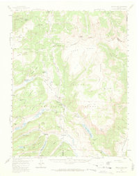
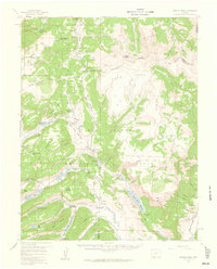
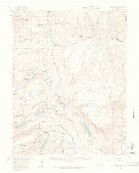
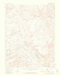
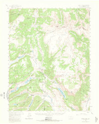
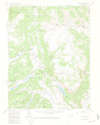
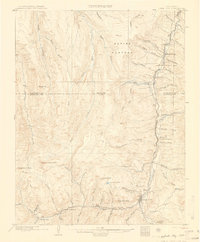
1959 Map of Bristol Head
USGS Topo · Published 1973About this map
San Juan Ranch (Old Stage Sta) serves as a reminder of early travel routes through the high country of the Continental Divide at the close of the 1950s. This territory is defined by its massive drainage systems and high-altitude water management, featuring significant engineering works like Continental Reservoir, Santa Maria Reservoir, and Road Canyon Reservoir No 1. The map details the transition between the Gunnison National Forest and the Rio Grande National Forest, where the Rio Grande begins its descent.
Find a feature on this map
62 named features on this map. Tap any name to fly to it.
Don’t see what you’re looking for? This feature index may not catch every label — zoom into the map to look around manually.
Map Details
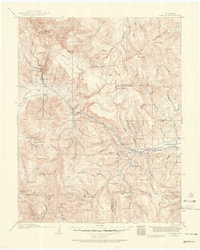
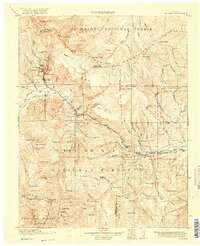
Editions of this 1959 Bristol Head Map
7 editions found
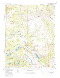
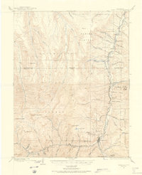
Other maps of this area
1903 · Lake City
USGS Topo · 1:62,500
1905 · Lake City
USGS Topo · 1:62,500

1905 · San Cristobal
USGS Topo · 1:125,000

1907 · San Cristobal
USGS Topo · 1:125,000

1908 · Uncompahgre
USGS Topo · 1:125,000

1911 · Uncompahgre
USGS Topo · 1:125,000
1914 · Creede
USGS Topo · 1:125,000
1916 · Creede
USGS Topo · 1:125,000

1945 · Durango
USGS Topo · 1:250,000

1953 · Durango
USGS Topo · 1:250,000