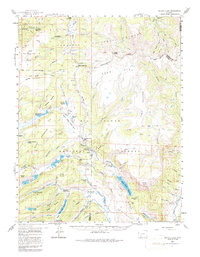
1959 Map of Bristol Head
USGS Topo · Published 1987About this map
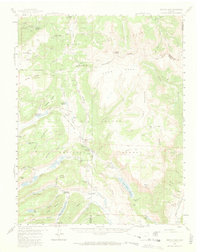
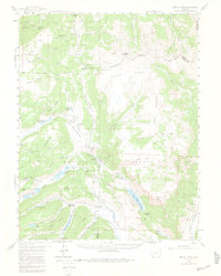
The Continental Divide winds through this high-altitude landscape in the late 1950s, defining the boundary between the Gunnison National Forest and the Rio Grande National Forest. Remnants of earlier mountain travel are visible at Powderhorn and San Juan Ranch, both noted as former stage stations along the primitive road network. The map details a sophisticated water management system in this alpine environment, including the Continental Reservoir, Rito Hondo Reservoir, and several smaller impoundments like the S Lazy U Reservoirs. Dramatic natural landmarks such as North Clear Creek Falls and the towering Bristol Head peak stand out among the vast high-country plateaus of Snow Mesa and Table Mountain. A network of jeep trails and stock driveways, including the Long Ridge Stock Driveway, highlights the area's continued use for grazing and remote access during this era.
Find a feature on this map
86 named features on this map. Tap any name to fly to it.
Don’t see what you’re looking for? This feature index may not catch every label — zoom into the map to look around manually.
Map Details
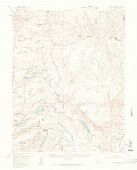
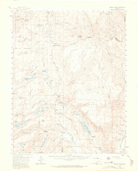
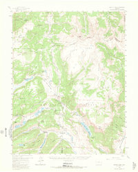
Editions of this 1959 Bristol Head Map
7 editions found

Other maps of this area

1903 · Lake City
USGS Topo · 1:62,500

1905 · Lake City
USGS Topo · 1:62,500

1905 · San Cristobal
USGS Topo · 1:125,000

1907 · San Cristobal
USGS Topo · 1:125,000

1908 · Uncompahgre
USGS Topo · 1:125,000

1911 · Uncompahgre
USGS Topo · 1:125,000

1914 · Creede
USGS Topo · 1:125,000

1916 · Creede
USGS Topo · 1:125,000

1945 · Durango
USGS Topo · 1:250,000

1953 · Durango
USGS Topo · 1:250,000