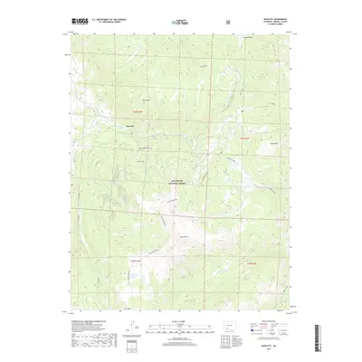
2019 Map of Spar City
USGS Topo · Published 2019About this map
Spar City serves as the focal point of this high-altitude landscape within the Rio Grande National Forest. Situated among the peaks of the San Juan Mountains, the settlement is surrounded by steep drainage systems like Ivy Creek and Deep Creek. This 2019 survey documents a terrain defined by historical mining activity and natural landmarks, most notably the Denver Tunnel located just south of Monument Peak.
Find a feature on this map
34 named features on this map. Tap any name to fly to it.
Don’t see what you’re looking for? This feature index may not catch every label — zoom into the map to look around manually.
Map Details
Editions of this 2019 Spar City Map
This is the sole edition of this map. No revisions or reprints were ever made.
Other maps of this area

1905 · San Cristobal
USGS Topo · 1:125,000

1907 · San Cristobal
USGS Topo · 1:125,000

1914 · Creede
USGS Topo · 1:125,000

1916 · Creede
USGS Topo · 1:125,000

1945 · Durango
USGS Topo · 1:250,000

1953 · Durango
USGS Topo · 1:250,000

1954 · Durango
USGS Topo · 1:250,000

1957 · Spar City
USGS Topo · 1:62,500

1959 · Creede
USGS Topo · 1:62,500

1959 · Bristol Head
USGS Topo · 1:62,500