Old Maps of Sunbeam, Colorado for Hiking & Exploration
Hike through history with 11 historic maps of Sunbeam. Explore old trails, ghost towns, and forgotten backroads — perfect for outdoor adventurers and local explorers.
- Rediscover forgotten places: Map out old mining camps, roads, and footpaths that no longer exist on modern maps.
- Layer with modern tools: Combine with LiDAR or satellite views to plan hikes through historical terrain.
- Made for exploration: Popular among hikers, overlanders, and local history lovers.
Use these maps to find adventure and explore the hidden past of Sunbeam.
Sunbeam, CO maps
(11)- 1954 Map of Vernal, 1966 Print
 1954 Vernal1966 Print · USGSThe Green River basin and Uinta Mountains come alive in this mid-century survey of northeastern Utah and northwestern Colorado. Genealogists and researchers can trace the development of remote outposts like Little Bonanza, Artesia, and Dutch John alongside the expanding Flaming Gorge Reservoir.4 unique versions available
 - 1958 Map of Vernal
 1958 Vernal1958 Print · USGSThe Uinta Basin at the end of the fifties reveals a landscape shaped by massive river systems and burgeoning energy interests. Researchers can trace the layout of Uintah and Ouray Indian Reservation lands and industrial sites like the Gilsonite coking plant and Bonanza.
 - 1958 Map of Maybell, 1960 Print
 1958 Maybell1960 Print · USGSMoffat County ranching and river life are captured here in the late fifties as the Yampa River winds through Boston Flat. Genealogists and local historians can trace the historic Thornburg Trail, locate the Fairview Cem, and find old water sources like Cutshaw Spring.4 unique versions available
 - 1960 Map of Vernal
 1960 Vernal1960 Print · USGSNortheastern Utah was a rugged frontier of mineral extraction and federal conservation in the mid-twentieth century. Genealogists and historians can trace the growth of Vernal, locate Gilsonite mining operations near Bonanza, and explore the 1950s boundaries of Dinosaur National Monument.
 - 1979 Map of Canyon of Lodore
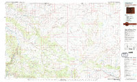 1979 Canyon of Lodore1979 Print · USGSNorthwest Colorado in the late seventies is captured here as a wild corridor of river canyons and high desert bluffs. Researchers can trace the remote reaches of the Canyon of Lodore and locate early settlements like Maybell or Hiawatha.2 unique versions available
 - 1986 Map of Sunbeam
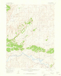
 1986 Sunbeam1986 Print · USGSThe settlement of Sunbeam sits along the Yampa River in the mid-1980s, surrounded by high-plateau landmarks. Researchers can trace landforms like Godiva Rim and Peck Mesa, or locate remote water sources like Redrock Spring.
 - 2010 Map of Sunbeam, 2010 Print
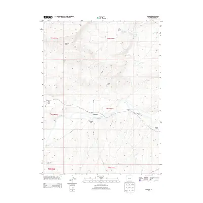
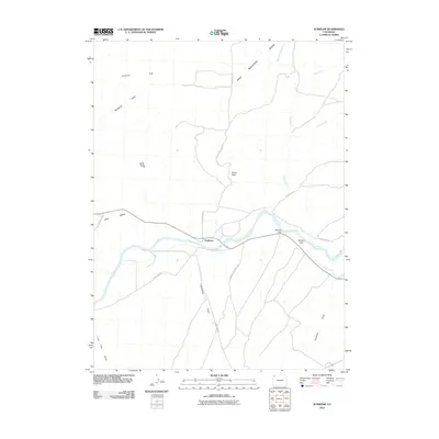 2010 Sunbeam2010 Print · USGSCovers Sunbeam, including Moffat County, United States, and other nearby areas
 - 2013 Map of Sunbeam, 2013 Print
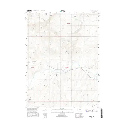
 2013 Sunbeam2013 Print · USGSCovers Sunbeam, including Moffat County, United States, and other nearby areas
 - 2016 Map of Sunbeam, 2016 Print
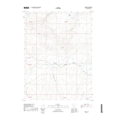
 2016 Sunbeam2016 Print · USGSCovers Sunbeam, including Moffat County, United States, and other nearby areas
 - 2019 Map of Sunbeam, 2019 Print
 2019 Sunbeam2019 Print · USGSCovers Sunbeam, including Moffat County, United States, and other nearby areas
 - 2022 Map of Sunbeam, 2022 Print
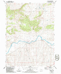
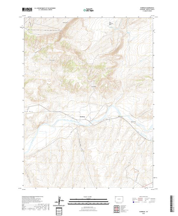 2022 Sunbeam2022 Print · USGSMoffat County ranching country and the Yampa River valley are captured in this modern survey. Researchers can trace the path of the Maybell Ditch or locate family landmarks like Peck Mesa and Simsberry Draw.
End of results
Showing maps 1-11 of 11
Frequently asked questions
- What are the different types of historical maps available for Sunbeam?
- What is the oldest map of Sunbeam?
- Where can I purchase historical maps of Sunbeam for my home or office?
- Where can I download high-res historical maps of Sunbeam?
- Are there historical topographic maps available for Sunbeam?
- Is there historical aerial imagery available for Sunbeam?
- Where are historical maps of Sunbeam sourced from?