Old Maps of Montezuma County, Colorado for Metal Detecting
Plan your next treasure hunt with 131 historic maps of Montezuma County. Find old homesites, ghost towns, trails, and gathering spots that may be lost to time — perfect for identifying promising metal detecting locations.
- Locate forgotten sites: Uncover places like long-lost settlements, abandoned rail lines, or gathering spots.
- Plan better hunts: Use map overlays combined with LiDAR or satellite views to narrow in on historically rich areas.
- Made for detectorists: Thousands of hobbyists use these maps to discover relics, coins, and hidden history.
Use these historic maps to boost your research and find new opportunities beneath the surface of Montezuma County.
Montezuma County, CO maps
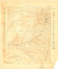
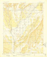
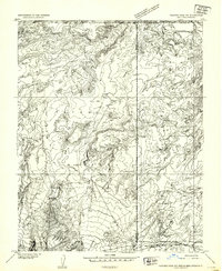
(131)- 1886 Map of Abajo
 1886 Abajo1886 Print · USGSCovers Montezuma County, including Shiprock Agency, Blanding, and other nearby areas
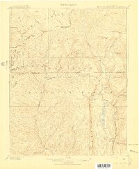
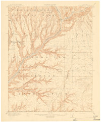
 - 1889 Map of Chaco
 1889 Chaco1889 Print · USGSCovers Montezuma County, including Farmington, Shiprock Agency, and other nearby areas
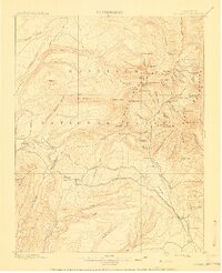
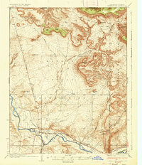
 - 1892 Map of Abajo
 1892 Abajo1892 Print · USGSCovers Montezuma County, including Shiprock Agency, Blanding, and other nearby areas
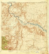
 - 1892 Map of Chaco
 1892 Chaco1892 Print · USGSCovers Montezuma County, including Farmington, Shiprock Agency, and other nearby areas5 unique versions available
 - 1892 Map of Canyon De Chelly
 1892 Canyon De Chelly1892 Print · USGSCovers Montezuma County, including Shiprock Agency, Chinle Agency, and other nearby areas5 unique versions available
 - 1893 Map of Abajo
 1893 Abajo1893 Print · USGSCovers Montezuma County, including Shiprock Agency, Blanding, and other nearby areas5 unique versions available
 - 1895 Map of La Plata, 1966 Print
 1895 La Plata1966 Print · USGSCovers Montezuma County, including La Plata, Mayday, and other nearby areas
 - 1897 Map of La Plata
 1897 La Plata1897 Print · USGSCovers Montezuma County, including La Plata, Mayday, and other nearby areas
 - 1897 Map of Rico
 1897 Rico1897 Print · USGSCovers Montezuma County, including Rico, La Plata County, and other nearby areas
 - 1898 Map of Engineer Mountain, 1955 Print
 1898 Engineer Mountain1955 Print · USGSCovers Montezuma County, including Cascade, Tacoma, and other nearby areas3 unique versions available
 - 1898 Map of Rico, 1957 Print
 1898 Rico1957 Print · USGSCovers Montezuma County, including Rico, La Plata County, and other nearby areas
 - 1899 Map of La Plata
 1899 La Plata1899 Print · USGSCovers Montezuma County, including La Plata, Mayday, and other nearby areas
 - 1899 Map of Rico
 1899 Rico1899 Print · USGSCovers Montezuma County, including Rico, La Plata County, and other nearby areas5 unique versions available
 - 1900 Map of Engineer Mountain
 1900 Engineer Mountain1900 Print · USGSCovers Montezuma County, including Cascade, Tacoma, and other nearby areas
 - 1908 Map of Engineer Mountain
 1908 Engineer Mountain1908 Print · USGSCovers Montezuma County, including Cascade, Tacoma, and other nearby areas3 unique versions available
 - 1908 Map of La Plata
 1908 La Plata1908 Print · USGSCovers Montezuma County, including La Plata, Mayday, and other nearby areas3 unique versions available
 - 1912 Map of Soda Canyon
 1912 Soda Canyon1912 Print · USGSCovers Montezuma County, including San Juan County, La Plata County, and other nearby areas7 unique versions available
 - 1913 Map of Red Mesa
 1913 Red Mesa1913 Print · USGSCovers Montezuma County, including Kline, Breen, and other nearby areas4 unique versions available
 - 1915 Map of Soda Canyon
 1915 Soda Canyon1915 Print · USGSCovers Montezuma County, including San Juan County, La Plata County, and other nearby areas7 unique versions available
 - 1934 Map of Chimney Rock, 1967 Print
 1934 Chimney Rock1967 Print · USGSCovers Montezuma County, including Shiprock Agency, Shiprock, and other nearby areas
 - 1934 Map of Rattlesnake, 1971 Print
 1934 Rattlesnake1971 Print · USGSCovers Montezuma County, including Shiprock Agency, Gadii'ahi, and other nearby areas
 - 1936 Map of Chimney Rock
 1936 Chimney Rock1936 Print · USGSCovers Montezuma County, including Shiprock Agency, Shiprock, and other nearby areas2 unique versions available
 - 1937 Map of Rattlesnake
 1937 Rattlesnake1937 Print · USGSCovers Montezuma County, including Shiprock Agency, Gadii'ahi, and other nearby areas3 unique versions available
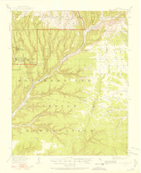
 - 1945 Map of Durango
 1945 Durango1945 Print · USGSCovers Montezuma County, including Durango, Monte Vista, and other nearby areas3 unique versions available
 - 1953 Map of Pastora Peak NE, 1954 Print
 1953 Pastora Peak NE1954 Print · USGSCovers Montezuma County, including Shiprock Agency, Teec Nos Pos, and other nearby areas
Showing maps 1-25 of 131
Top cities of Montezuma County
Frequently asked questions
- What are the different types of historical maps available for Montezuma County?
- What is the oldest map of Montezuma County?
- Where can I purchase historical maps of Montezuma County for my home or office?
- Where can I download high-res historical maps of Montezuma County?
- Are there historical topographic maps available for Montezuma County?
- Is there historical aerial imagery available for Montezuma County?
- Where are historical maps of Montezuma County sourced from?