Old Maps of Olathe, Colorado for Hiking & Exploration
Hike through history with 17 historic maps of Olathe. Explore old trails, ghost towns, and forgotten backroads — perfect for outdoor adventurers and local explorers.
- Rediscover forgotten places: Map out old mining camps, roads, and footpaths that no longer exist on modern maps.
- Layer with modern tools: Combine with LiDAR or satellite views to plan hikes through historical terrain.
- Made for exploration: Popular among hikers, overlanders, and local history lovers.
Use these maps to find adventure and explore the hidden past of Olathe.
Olathe, CO maps
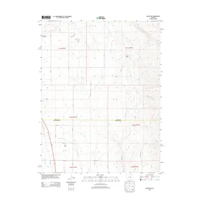
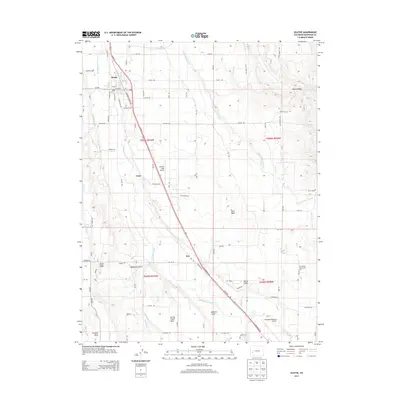
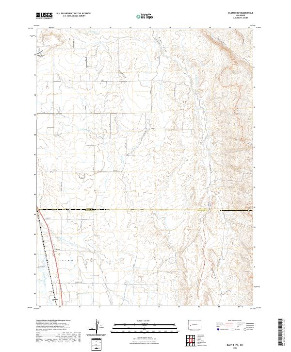
(17)- 1955 Map of Olathe NW, 1956 Print
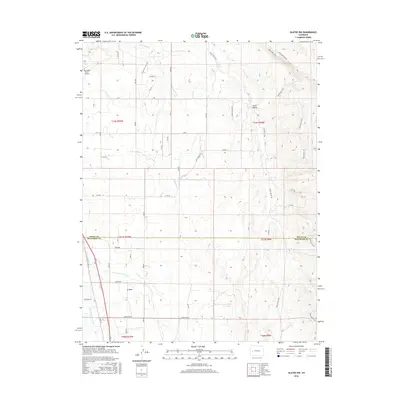
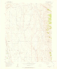 1955 Olathe NW1956 Print · USGSDelta and Montrose counties in the mid-1950s showcase a high-desert landscape transformed by irrigation and rail. Researchers can trace the path of the Denver and Rio Grande Western railroad or locate old waterworks like the East Selig Canal and Peach Valley Dam No 1.5 unique versions available
 - 1955 Map of Olathe, 1956 Print
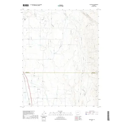
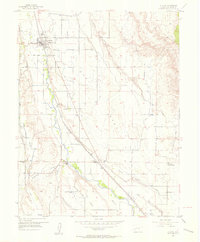 1955 Olathe1956 Print · USGSThe Uncompahgre Valley in the mid-1950s is shown here as an intricate patchwork of irrigated farmland and essential rail transport. Genealogists can locate old family-named landmarks and institutions like the Menoken Sch, Coal Creek Sch, and Olathe Cem.7 unique versions available
 - 1956 Map of Montrose, 1963 Print
 1956 Montrose1963 Print · USGSThe Colorado western slope in the late fifties and early sixties shows a landscape defined by the Denver & Rio Grande Western RR and the Gunnison River. Trace the development of Blue Mesa Reservoir or locate high-country sites like the Bachelor Mine.3 unique versions available
 - 1959 Map of Montrose
 1959 Montrose1959 Print · USGSWestern Colorado in the late fifties is defined by the high peaks and river valleys of the Southern Rockies. Genealogists and historians can trace the paths of the Denver & Rio Grande Western RR or locate mountain settlements like Crawford, Lazear, and Doyleville.
 - 1960 Map of Montrose
 1960 Montrose1960 Print · USGSThe Colorado high country in the mid-fifties is captured here during a period of steady ranching and persistent mining. Researchers can trace the path of the Denver & Rio Grande Western RR or locate small settlements like Somerset, Maher, and Sargent.2 unique versions available
 - 1968 Map of Montrose
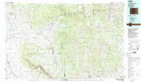
 1968 Montrose1968 Print · USGSThe Western Slope and Continental Divide meet in the late sixties, showing the vital river valleys and high-mountain mining districts. Trace the historic route of the Denver and Rio Grande Western RR or locate small settlements like Sargents and Powderhorn.
 - 1983 Map of Paonia
 1983 Paonia1983 Print · USGSWestern Colorado's North Fork Valley and West Elk high country are shown here in the early eighties as a hub of coal mining and orchard farming. Researchers can trace historic extraction sites like the Colby Mine, rural settlements such as Maher, and landmarks like the Hotchkiss Nat Fish Hatchery.2 unique versions available
 - 2010 Map of Olathe NW, 2010 Print
 2010 Olathe NW2010 Print · USGSCovers Olathe, including Montrose County, Delta County, and other nearby areas
 - 2010 Map of Olathe, 2010 Print
 2010 Olathe2010 Print · USGSCovers Olathe, including Montrose, Frost, and other nearby areas
 - 2013 Map of Olathe NW, 2013 Print
 2013 Olathe NW2013 Print · USGSCovers Olathe, including Montrose County, Delta County, and other nearby areas
 - 2013 Map of Olathe, 2013 Print
 2013 Olathe2013 Print · USGSCovers Olathe, including Montrose, Frost, and other nearby areas
 - 2016 Map of Olathe, 2016 Print
 2016 Olathe2016 Print · USGSCovers Olathe, including Montrose, Frost, and other nearby areas
 - 2016 Map of Olathe NW, 2016 Print
 2016 Olathe NW2016 Print · USGSCovers Olathe, including Montrose County, Delta County, and other nearby areas
 - 2019 Map of Olathe NW, 2019 Print
 2019 Olathe NW2019 Print · USGSCovers Olathe, including Montrose County, Delta County, and other nearby areas
 - 2019 Map of Olathe, 2019 Print
 2019 Olathe2019 Print · USGSCovers Olathe, including Montrose, Frost, and other nearby areas
 - 2022 Map of Olathe, 2022 Print
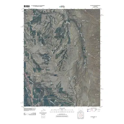
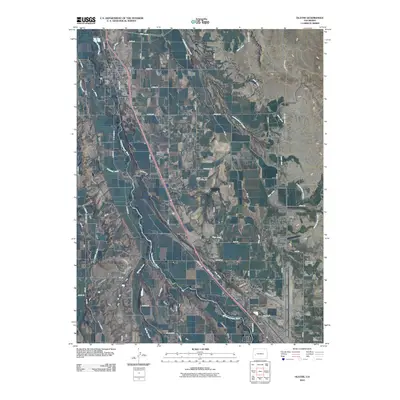
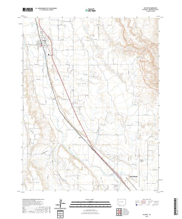 2022 Olathe2022 Print · USGSMontrose County's agricultural heartland is documented here in the early 2020s, showing the vital irrigation network of the Uncompahgre Valley. Researchers can trace land use across Ash Mesa, locate the Olathe Cem, and study the infrastructure of the Montrose Regional Airport.
 - 2022 Map of Olathe NW, 2022 Print
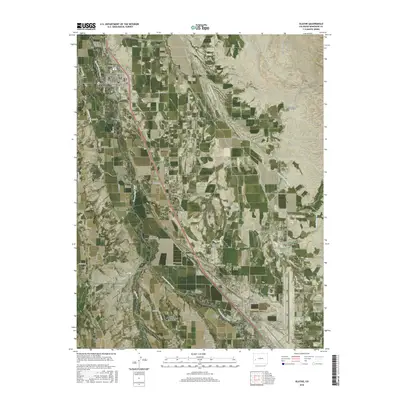
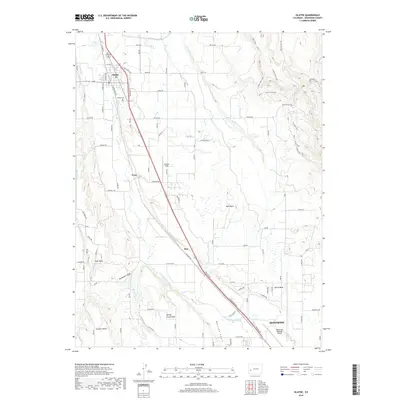
 2022 Olathe NW2022 Print · USGSThe Uncompahgre Valley irrigation network is in full view here in the early twenty-first century as it serves the lands around Olathe. Researchers can trace the complex system of the Selig Canal, Loutsenhizer Arroyo, and the many laterals that define life on East Mesa.
End of results
Showing maps 1-17 of 17
Top cities near Olathe
Frequently asked questions
- What are the different types of historical maps available for Olathe?
- What is the oldest map of Olathe?
- Where can I purchase historical maps of Olathe for my home or office?
- Where can I download high-res historical maps of Olathe?
- Are there historical topographic maps available for Olathe?
- Is there historical aerial imagery available for Olathe?
- Where are historical maps of Olathe sourced from?