Old Maps of Morgan Heights, Colorado for Academic Research
Study the evolution of Morgan Heights with 10 high-resolution historic maps. Whether you're teaching, researching, or modeling changes in land use, these maps provide essential visual documentation of urban, environmental, and geographic change.
- Analyze long-term change: Track patterns in development, transportation, and natural features.
- Ideal for environmental or urban studies: Support academic projects with primary historical map data.
- Use in the classroom or lab: Educators and researchers rely on these maps to bring historical context to life.
These maps are a powerful tool for teaching, research, and visualizing how Morgan Heights has changed over the decades.
Morgan Heights, CO maps
(10)- 1951 Map of Fort Morgan, 1953 Print
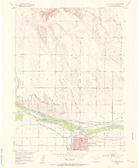 1951 Fort Morgan1953 Print · USGSFort Morgan thrives as a riverfront industrial center in the early fifties, anchored by its sugar beet industry and the railroad. Genealogists and local historians can trace the foundations of the community through Riverside Cem, Baker Sch, and the Sugar Refinery.4 unique versions available
 - 1954 Map of Sterling
 1954 Sterling1954 Print · USGSNortheastern Colorado and the Nebraska borderlands are defined by the river-and-rail corridors of the mid-twentieth century. Researchers can trace the development of agricultural hubs from Sterling and Fort Morgan to smaller rail stops along the Union Pacific and Burlington Northern lines.3 unique versions available
 - 1958 Map of Sterling
 1958 Sterling1958 Print · USGSNortheastern Colorado thrived along the river and rail corridors during the late fifties. Genealogists and historians can trace family-named irrigation works like Davis Brothers Ditch and agricultural hubs from Peetz to Fort Morgan.
 - 1971 Map of Fort Morgan, 1984 Print
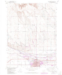 1971 Fort Morgan1984 Print · USGSFort Morgan and the South Platte River valley are captured in the early seventies, showcasing a regional hub defined by irrigation and industry. Local historians can trace the Sugar Refinery and Union Pacific rail lines or locate family names at Riverside Cem.
 - 1980 Map of Fort Morgan
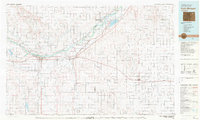 1980 Fort Morgan1980 Print · USGSNortheastern Colorado’s agricultural heartland is documented here in the early eighties, centered on the South Platte River corridor. Researchers can trace the progress of the Union Pacific and Burlington Northern railroads through ranching hubs like Brush, Akron, and Hillrose.
 - 2010 Map of Fort Morgan, 2010 Print
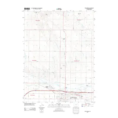
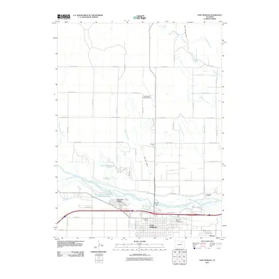 2010 Fort Morgan2010 Print · USGSCovers Morgan Heights, including Fort Morgan, Log Lane Village, and other nearby areas
 - 2013 Map of Fort Morgan, 2013 Print
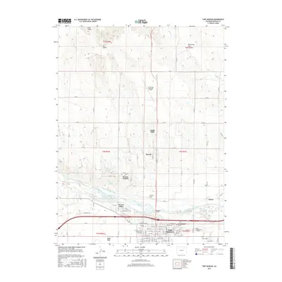
 2013 Fort Morgan2013 Print · USGSCovers Morgan Heights, including Fort Morgan, Log Lane Village, and other nearby areas
 - 2016 Map of Fort Morgan, 2016 Print
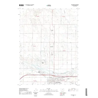
 2016 Fort Morgan2016 Print · USGSCovers Morgan Heights, including Fort Morgan, Log Lane Village, and other nearby areas
 - 2019 Map of Fort Morgan, 2019 Print
 2019 Fort Morgan2019 Print · USGSCovers Morgan Heights, including Fort Morgan, Log Lane Village, and other nearby areas
 - 2022 Map of Fort Morgan, 2022 Print
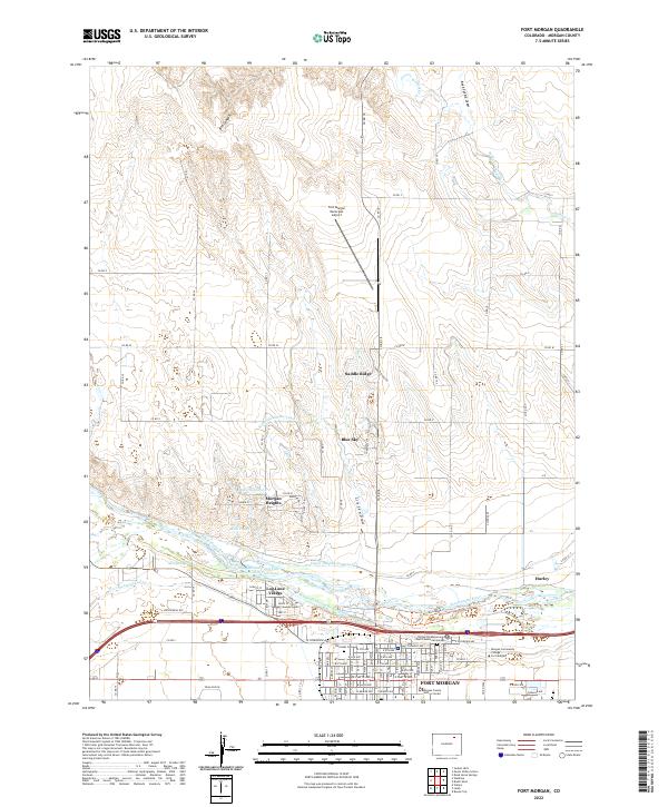 2022 Fort Morgan2022 Print · USGSThe river valley and high plains of Morgan County come into focus during this contemporary era. Genealogists and researchers can trace local landmarks like Riverside Cem, Log Lane Village, and the United Presbyterian Church Memorial Garden.
End of results
Showing maps 1-10 of 10
Top cities near Morgan Heights
- Fort Morgan historical maps
- Brush historical maps
- Log Lane Village historical maps
- Wiggins historical maps
- Trail Side historical maps
- Weldona historical maps
See more
Frequently asked questions
- What are the different types of historical maps available for Morgan Heights?
- What is the oldest map of Morgan Heights?
- Where can I purchase historical maps of Morgan Heights for my home or office?
- Where can I download high-res historical maps of Morgan Heights?
- Are there historical topographic maps available for Morgan Heights?
- Is there historical aerial imagery available for Morgan Heights?
- Where are historical maps of Morgan Heights sourced from?