Old Maps of Grant, Colorado for Metal Detecting
Plan your next treasure hunt with 14 historic maps of Grant. Find old homesites, ghost towns, trails, and gathering spots that may be lost to time — perfect for identifying promising metal detecting locations.
- Locate forgotten sites: Uncover places like long-lost settlements, abandoned rail lines, or gathering spots.
- Plan better hunts: Use map overlays combined with LiDAR or satellite views to narrow in on historically rich areas.
- Made for detectorists: Thousands of hobbyists use these maps to discover relics, coins, and hidden history.
Use these historic maps to boost your research and find new opportunities beneath the surface of Grant.
Grant, CO maps
(14)- 1945 Map of Mount Logan, 1960 Print
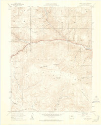 1945 Mount Logan1960 Print · USGSPark County high country comes alive in this mid-century survey of the Front Range before modern expansion. Tracing the North Fork South Platte River, you can locate early settlements at Webster and Grant, or explore family-named landmarks like Ben Tyler Gulch.5 unique versions available
 - 1948 Map of Mount Logan
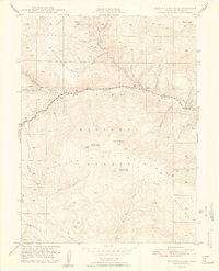 1948 Mount Logan1948 Print · USGSThe North Fork of the South Platte River defines this post-war mountain landscape, connecting small valley settlements like Webster and Grant. Local historians can trace the early route of the Hoosier Trail and family-named landmarks like Ben Tyler Gulch.2 unique versions available
 - 1953 Map of Denver, 1964 Print
 1953 Denver1964 Print · USGSDenver and the Colorado Front Range are captured here during a decade of post-war growth and military expansion. Researchers can trace the sprawling rail lines of the Union Pacific, locate the State Capitol, and explore historic mountain mining hubs like Central City.6 unique versions available
 - 1957 Map of Denver
 1957 Denver1957 Print · USGSDenver and the Colorado Front Range are seen here during a mid-century period of intense military and urban expansion. Trace the footprints of the Rocky Mountain Arsenal, the early United States Air Force Academy, and the Lowry AF Base.
 - 1958 Map of Denver
 1958 Denver1958 Print · USGSDenver and the Colorado Front Range are captured here during the mid-century suburban boom. Trace the footprints of military installations like Buckley Air Force Base alongside the established rail networks of the Colorado & Southern Ry.
 - 1960 Map of Denver
 1960 Denver1960 Print · USGSDenver and the Colorado Front Range are seen here at a pivotal moment of postwar expansion into the plains and foothills. Researchers can trace the mid-century rail network of the Denver & Rio Grande Western RR and locate historic institutional landmarks like Buckley Field and the Colorado School of Mines.
 - 1983 Map of Bailey
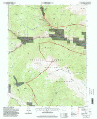
 1983 Bailey1983 Print · USGSPark County and the high Front Range are captured here during the early 1980s as traditional mountain settlements met new development patterns. Genealogists and researchers can trace the Denver and Rio Grande Western Railroad and old mountain hamlets like Bailey, Webster, and Garo.2 unique versions available
 - 1987 Map of Mount Logan
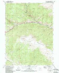 1987 Mount Logan1987 Print · USGSThe high valleys of Park County are captured here in the late eighties, showing a landscape defined by the Platte River Mountains. Local historians can trace the Old Kenosha Grade, find a secluded Cem near Webster, and locate historical mining Prospects along Kenosha Creek.
 - 1994 Map of Mount Logan, 1998 Print
 1994 Mount Logan1998 Print · USGSThe high peaks of Park County were transitioning into a modern recreation and conservation landscape during the 1990s. Researchers can trace historic river-valley settlements like Webster and Grant alongside landmarks like Lamping Cem and the Harold Roberts Tunnel.
 - 2011 Map of Mount Logan, 2011 Print
 2011 Mount Logan2011 Print · USGSCovers Grant, including Santa Maria, Webster, and other nearby areas
 - 2013 Map of Mount Logan, 2013 Print
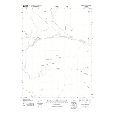
 2013 Mount Logan2013 Print · USGSCovers Grant, including Santa Maria, Webster, and other nearby areas
 - 2016 Map of Mount Logan, 2016 Print
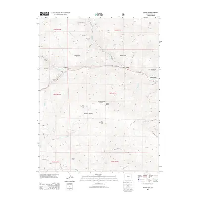
 2016 Mount Logan2016 Print · USGSCovers Grant, including Santa Maria, Webster, and other nearby areas
 - 2019 Map of Mount Logan, 2019 Print
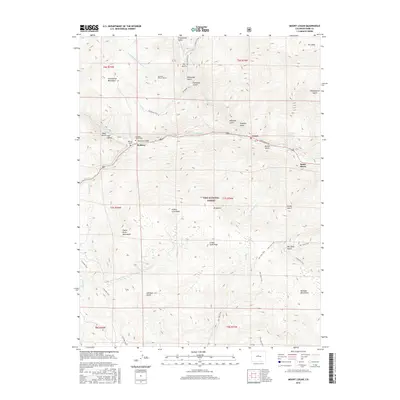
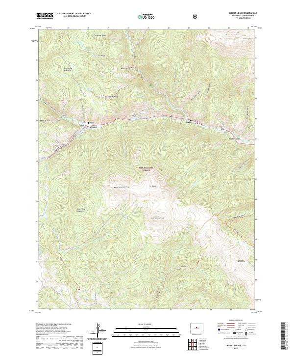
 2019 Mount Logan2019 Print · USGSCovers Grant, including Santa Maria, Webster, and other nearby areas
 - 2022 Map of Mount Logan, 2022 Print
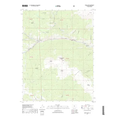
 2022 Mount Logan2022 Print · USGSPark County high country comes into focus in this recent survey of the North Fork South Platte River valley. Genealogists and historians can locate the Webster Cem, the Lamping Family Cem, and the path of the Harold D Roberts Tunnel.
End of results
Showing maps 1-14 of 14
Top cities near Grant
Frequently asked questions
- What are the different types of historical maps available for Grant?
- What is the oldest map of Grant?
- Where can I purchase historical maps of Grant for my home or office?
- Where can I download high-res historical maps of Grant?
- Are there historical topographic maps available for Grant?
- Is there historical aerial imagery available for Grant?
- Where are historical maps of Grant sourced from?