Old Maps of Aspen, Colorado for Metal Detecting
Plan your next treasure hunt with 16 historic maps of Aspen. Find old homesites, ghost towns, trails, and gathering spots that may be lost to time — perfect for identifying promising metal detecting locations.
- Locate forgotten sites: Uncover places like long-lost settlements, abandoned rail lines, or gathering spots.
- Plan better hunts: Use map overlays combined with LiDAR or satellite views to narrow in on historically rich areas.
- Made for detectorists: Thousands of hobbyists use these maps to discover relics, coins, and hidden history.
Use these historic maps to boost your research and find new opportunities beneath the surface of Aspen.
Aspen, CO maps
(16)- 1893 Map of Aspen, 1958 Print
 1893 Aspen1958 Print · USGSSilver mining in the Roaring Fork Valley was in full swing during the late nineteenth century. Genealogists and historians can trace industrial roots at the Molly Gibson Mine, the early streets of Aspen, and the remote settlement of Ashcroft.2 unique versions available
 - 1895 Map of Aspen
 1895 Aspen1895 Print · USGSSilver mining and high-altitude rail dominate the Aspen area in the mid-1890s. Genealogists and historians can trace the industrial footprint of the Molly Gibson Mine, locate the vanished streets of Ashcroft, and follow the Denver and Rio Grande R. R.5 unique versions available
 - 1909 Map of Mount Jackson, 1955 Print
 1909 Mount Jackson1955 Print · USGSPitkin County was a thriving center of high-country mining and railroading during the early 1900s. Genealogists and historians can trace the rail lines of the Colorado Midland Railway and locate vanished sites like Ashcroft and the Little Annie Mine.2 unique versions available
 - 1911 Map of Mount Jackson
 1911 Mount Jackson1911 Print · USGSThe high Rockies of Pitkin and Eagle Counties are captured here at the peak of the mountain rail era. Researchers can trace the dual tracks of the Colorado Midland RR and the Denver and Rio Grande RR past Aspen and the Little Annie Mine.3 unique versions available
 - 1957 Map of Leadville, 1978 Print
 1957 Leadville1978 Print · USGSHigh-country mining and rail transport define the central Colorado Rockies during the mid-to-late twentieth century. Researchers can trace the industrial footprints of Gilman and Climax, find small rail stops like Malta, and follow the Denver and Rio Grande Western RR.2 unique versions available
 - 1959 Map of Leadville
 1959 Leadville1959 Print · USGSThe Colorado high country in the late fifties is a landscape of mining history and military training, from the streets of Leadville to the Camp Hale grounds. Genealogists and historians can trace the Denver and Rio Grande Western RR alongside now-deserted sites like Ashcroft and Independence.
 - 1960 Map of Leadville
 1960 Leadville1960 Print · USGSThe Colorado high country in the mid-fifties comes alive through its mining camps, river valleys, and rail lines. Trace the industrial legacy of the Climax Molybdenum Mine and explore the alpine reaches of the Camp Hale Military Reservation.2 unique versions available
 - 1960 Map of Aspen, 1964 Print
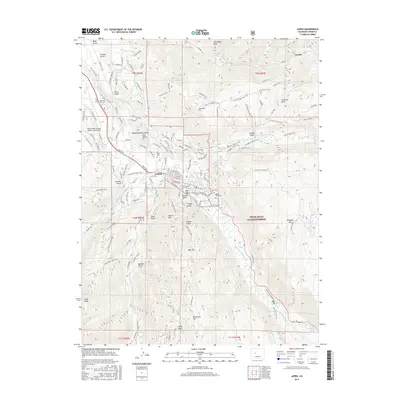
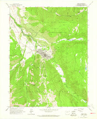 1960 Aspen1964 Print · USGSThe Aspen valley in the late fifties was a landscape of deep mining history and mountain river junctions. Genealogists and historians can trace family roots at Red Butte Cemetery or explore the reach of the Smuggler Shaft and Little Annie Mine.5 unique versions available
 - 1962 Map of Leadville
 1962 Leadville1962 Print · USGSThe Colorado high country in the early sixties was a rugged landscape of mining camps, military training grounds, and emerging ski towns. Researchers can trace the legacy of Camp Hale, locate the Molybdenum mine near Leadville, and follow the Denver and Rio Grande Western RR through the canyons.
 - 1964 Map of Leadville
 1964 Leadville1964 Print · USGSColorado's high country is captured here during the mid-1960s, showing the intersection of mining history and mountain transport. Trace the legacy of high-altitude industry at the Climax Molybdenum Mine or follow the rails of the Colorado and Southern Ry past Leadville.
 - 1983 Map of Leadville
 1983 Leadville1983 Print · USGSThe Colorado high country in the early eighties shows a landscape of world-class peaks and deep-rooted mining industry. Trace the historic tracks of the Denver and Rio Grande Western RR and locate high-altitude operations like the Climax Mine or London Mine.2 unique versions available
 - 2011 Map of Aspen, 2011 Print
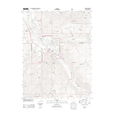
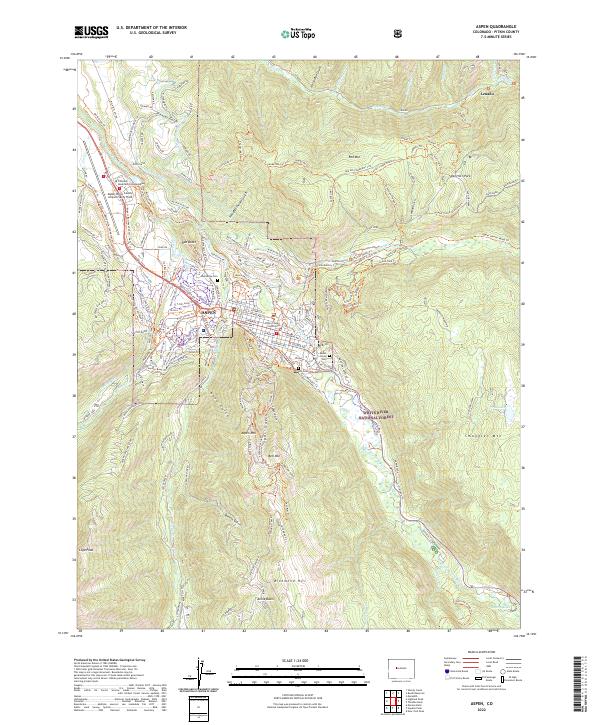
 2011 Aspen2011 Print · USGSCovers Aspen, including Lenado, Pitkin County, and other nearby areas
 - 2013 Map of Aspen, 2013 Print
 2013 Aspen2013 Print · USGSCovers Aspen, including Lenado, Pitkin County, and other nearby areas
 - 2016 Map of Aspen, 2016 Print
 2016 Aspen2016 Print · USGSCovers Aspen, including Lenado, Pitkin County, and other nearby areas
 - 2019 Map of Aspen, 2019 Print
 2019 Aspen2019 Print · USGSCovers Aspen, including Lenado, Pitkin County, and other nearby areas
 - 2022 Map of Aspen, 2022 Print
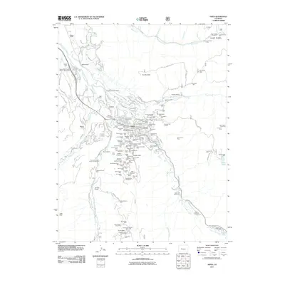
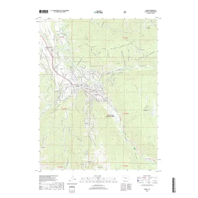
 2022 Aspen2022 Print · USGSThe Aspen valley at the dawn of the 2020s shows a sophisticated landscape of mountain settlement and high-altitude recreation. Researchers can trace the layout of the Pitkin County Courthouse, explore the village of Lenado, and locate historic burial sites at Red Butte Cem and Ute Cem.
End of results
Showing maps 1-16 of 16
Top cities near Aspen
Frequently asked questions
- What are the different types of historical maps available for Aspen?
- What is the oldest map of Aspen?
- Where can I purchase historical maps of Aspen for my home or office?
- Where can I download high-res historical maps of Aspen?
- Are there historical topographic maps available for Aspen?
- Is there historical aerial imagery available for Aspen?
- Where are historical maps of Aspen sourced from?