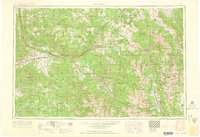
1962 Map of Leadville
USGS Topo · Published 1962About this map
The high peaks of the Sawatch Range and Mosquito Range dominate this 1962 landscape, with Leadville serving as a central hub for mining and transportation at the headwaters of the Arkansas River. This survey captures the region during a period of transition in the early 1960s, documenting military and industrial footprints such as Camp Hale and the Winter Warfare School near the Continental Divide.
Find a feature on this map
205 named features on this map. Tap any name to fly to it.
Don’t see what you’re looking for? This feature index may not catch every label — zoom into the map to look around manually.
Map Details
Editions of this 1962 Leadville Map
This is the sole edition of this map. No revisions or reprints were ever made.
Other maps of this area
1888 · Crested Butte
USGS Topo · 1:62,500
1888 · Anthracite
USGS Topo · 1:62,500
1889 · Crested Butte
USGS Topo · 1:62,500
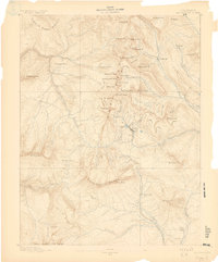
1889 · Anthracite
USGS Topo · 1:62,500
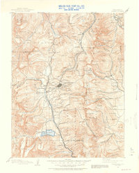
1889 · Leadville
USGS Topo · 1:125,000
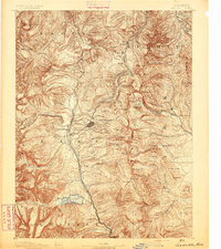
1891 · Leadville
USGS Topo · 1:125,000
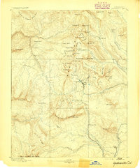
1893 · Anthracite
USGS Topo · 1:62,500
1893 · Crested Butte
USGS Topo · 1:62,500
1893 · Aspen
USGS Topo · 1:62,500
1894 · Anthracite
USGS Topo · 1:62,500