Old Maps of Rifle, Colorado
Explore 20 old maps of Rifle, spanning from 1906 to today. These high-resolution historic maps reveal how streets, neighborhoods, landmarks, and natural features evolved over time — perfect for genealogy, metal detecting, research, and local history exploration.
What you can do with these maps:
- See how Rifle changed over time: Compare historical maps to modern-day views to trace roads, homesites, rail lines & more.
- View detailed metadata: Each map includes creators, publishers, year, scale, and archive source.
- Overlay maps with satellite & LiDAR: Visualize the past alongside modern tools to explore terrain & human change.
- Trusted historical sources: Maps sourced from the USGS, Library of Congress, and other archives.
- Access maps your way: View online, download high-res files, or order prints for personal or research use.
Start exploring old maps of Rifle to uncover forgotten places, hidden landmarks, and the deep history beneath your feet.
Rifle, CO maps
(20)- 1906 Map of Grand Hogback, 1959 Print
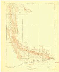
 1906 Grand Hogback1959 Print · USGSGarfield County at the turn of the century shows a frontier landscape defined by the rugged Grand Hogback and the vital Colorado River corridor. Researchers can trace early rail stops and rural outposts like Dinner Sta, Antlers, and the riverside town of Silt.
 - 1910 Map of Grand Hogback
 1910 Grand Hogback1910 Print · USGSGarfield and Rio Blanco counties appear at the height of the early railroad era, defined by the towering spine of the Grand Hogback. Local historians can trace the early rail stops and river settlements like Rio Blanco, Antlers, and Dinner Sta.3 unique versions available
 - 1952 Map of Rifle, 1954 Print
 1952 Rifle1954 Print · USGSThe Colorado River valley at Rifle comes alive in the early fifties, showing a landscape defined by strategic oil shale reserves and riverside industry. Genealogists and researchers can trace local landmarks like the Rifle Cem, the Vanadium Mill, and the Denver and Rio Grande Western rail lines.7 unique versions available
 - 1957 Map of Leadville, 1978 Print
 1957 Leadville1978 Print · USGSHigh-country mining and rail transport define the central Colorado Rockies during the mid-to-late twentieth century. Researchers can trace the industrial footprints of Gilman and Climax, find small rail stops like Malta, and follow the Denver and Rio Grande Western RR.2 unique versions available
 - 1959 Map of Leadville
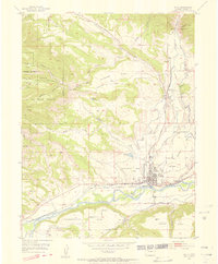
 1959 Leadville1959 Print · USGSThe Colorado high country in the late fifties is a landscape of mining history and military training, from the streets of Leadville to the Camp Hale grounds. Genealogists and historians can trace the Denver and Rio Grande Western RR alongside now-deserted sites like Ashcroft and Independence.
 - 1960 Map of Leadville
 1960 Leadville1960 Print · USGSThe Colorado high country in the mid-fifties comes alive through its mining camps, river valleys, and rail lines. Trace the industrial legacy of the Climax Molybdenum Mine and explore the alpine reaches of the Camp Hale Military Reservation.2 unique versions available
 - 1962 Map of Leadville
 1962 Leadville1962 Print · USGSThe Colorado high country in the early sixties was a rugged landscape of mining camps, military training grounds, and emerging ski towns. Researchers can trace the legacy of Camp Hale, locate the Molybdenum mine near Leadville, and follow the Denver and Rio Grande Western RR through the canyons.
 - 1962 Map of Silt, 1964 Print
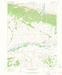 1962 Silt1964 Print · USGSThe Colorado River valley comes into focus in the early sixties as the railroad and irrigation networks define the landscape near Silt. Trace the historic Denver and Rio Grande Western tracks, find the old Drive-in Theater, and follow the complex Last Chance Ditch.7 unique versions available
 - 1964 Map of Leadville
 1964 Leadville1964 Print · USGSColorado's high country is captured here during the mid-1960s, showing the intersection of mining history and mountain transport. Trace the legacy of high-altitude industry at the Climax Molybdenum Mine or follow the rails of the Colorado and Southern Ry past Leadville.
 - 1981 Map of Glenwood Springs, 1982 Print
 1981 Glenwood Springs1982 Print · USGSGarfield County in the early eighties was defined by the energy industry and the deep valley of the Colorado River. Genealogists and historians can trace the rail corridor of the Denver and Rio Grande Western through Glenwood Springs and locate industrial landmarks like the Anvil Points Oil Shale Mine.2 unique versions available
 - 2010 Map of Rifle, 2010 Print
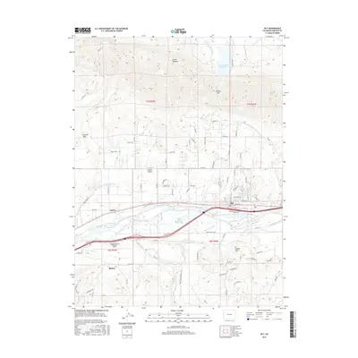
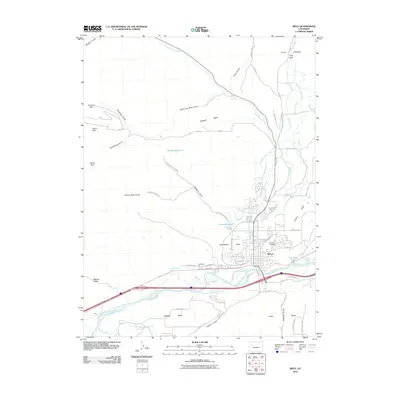 2010 Rifle2010 Print · USGSCovers Rifle, including Garfield County, United States, and other nearby areas
 - 2010 Map of Silt, 2010 Print
 2010 Silt2010 Print · USGSCovers Rifle, including Silt, Antlers, and other nearby areas
 - 2013 Map of Rifle, 2013 Print
 2013 Rifle2013 Print · USGSCovers Rifle, including Garfield County, United States, and other nearby areas
 - 2013 Map of Silt, 2013 Print
 2013 Silt2013 Print · USGSCovers Rifle, including Silt, Antlers, and other nearby areas
 - 2016 Map of Silt, 2016 Print
 2016 Silt2016 Print · USGSCovers Rifle, including Silt, Antlers, and other nearby areas
 - 2016 Map of Rifle, 2016 Print
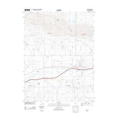
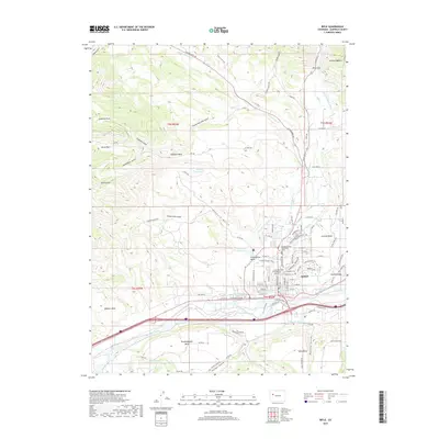
 2016 Rifle2016 Print · USGSCovers Rifle, including Garfield County, United States, and other nearby areas
 - 2019 Map of Rifle, 2019 Print
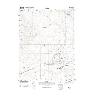
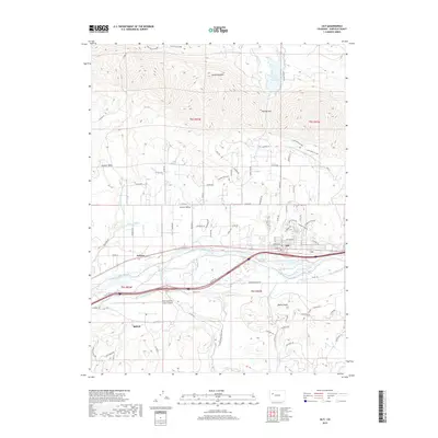
 2019 Rifle2019 Print · USGSCovers Rifle, including Garfield County, United States, and other nearby areas
 - 2019 Map of Silt, 2019 Print
 2019 Silt2019 Print · USGSCovers Rifle, including Silt, Antlers, and other nearby areas
 - 2022 Map of Rifle, 2022 Print
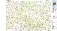
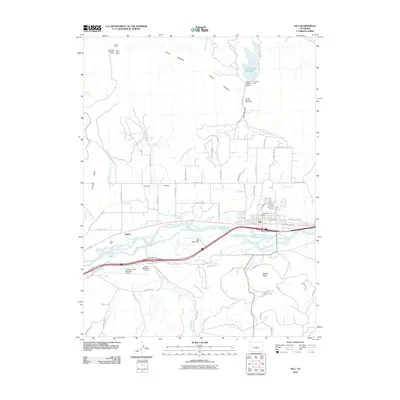
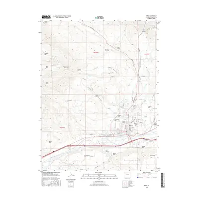
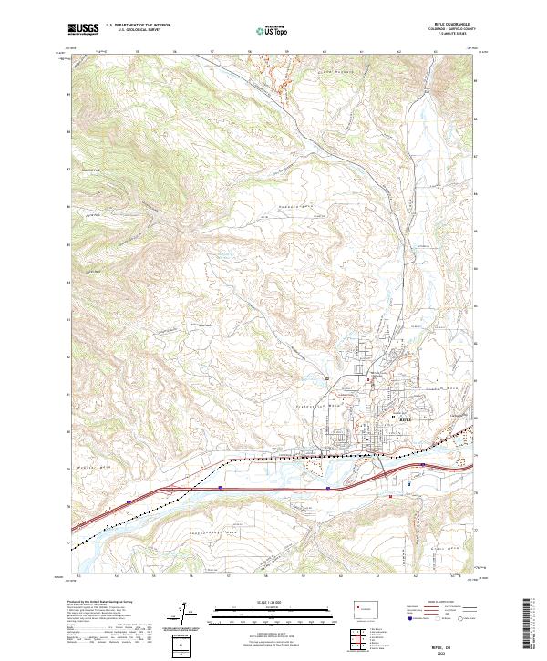 2022 Rifle2022 Print · USGSThe river valley and surrounding mesas of Garfield County are shown here in the early twenty-first century. Researchers can trace the Union Pacific RR through Rifle, locate the Garfield County Courthouse, and find family names on Taughenbaugh Mesa and Graham Mesa.
 - 2022 Map of Silt, 2022 Print
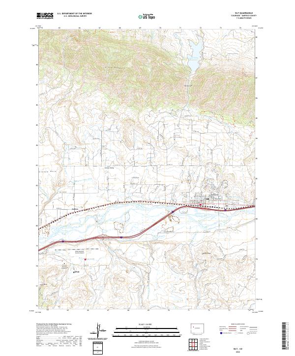 2022 Silt2022 Print · USGSThe Colorado River valley near Silt comes alive in this contemporary topographical study of Garfield County's high desert agriculture and aviation. Local historians can trace the intricate irrigation network of the Lower Cactus Valley Ditch, the historic site of Antlers, and landmarks like the Grand Hogback.
End of results
Showing maps 1-20 of 20
Top cities near Rifle
Frequently asked questions
- What are the different types of historical maps available for Rifle?
- What is the oldest map of Rifle?
- Where can I purchase historical maps of Rifle for my home or office?
- Where can I download high-res historical maps of Rifle?
- Are there historical topographic maps available for Rifle?
- Is there historical aerial imagery available for Rifle?
- Where are historical maps of Rifle sourced from?