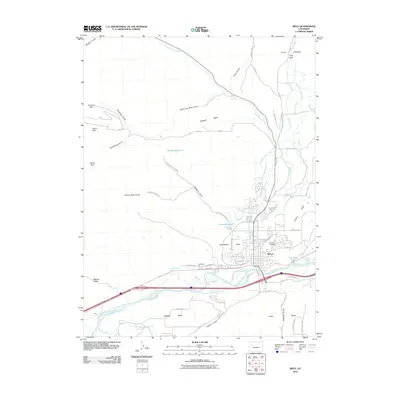
2010 Map of Rifle
USGS Topo · Published 2010About this map
Rifle serves as the focal point of this 2010 survey, situated at the junction of the Colorado River and Government Creek. The landscape is defined by its agricultural irrigation network and dramatic elevation changes, featuring the Grand Hogback rising to the north and numerous plateaus including Prefontaine Mesa and Graham Mesa to the south and east. Historic land management is evident in the complex system of water rights, represented by labels for the Grand Tunnel Ditch, Pioneer Ditch, and Last Chance Ditch, which redirect water from the river and its tributaries to support local ranching and farming.
Find a feature on this map
62 named features on this map. Tap any name to fly to it.
Don’t see what you’re looking for? This feature index may not catch every label — zoom into the map to look around manually.
Map Details
Editions of this 2010 Rifle Map
This is the sole edition of this map. No revisions or reprints were ever made.
Other maps of this area

1906 · Grand Hogback
USGS Topo · 1:125,000

1910 · Grand Hogback
USGS Topo · 1:125,000

1952 · Rio Blanco
USGS Topo · 1:24,000

1952 · Anvil Points
USGS Topo · 1:24,000

1952 · Horse Mountain
USGS Topo · 1:24,000

1952 · Rifle
USGS Topo · 1:24,000

1957 · Leadville
USGS Topo · 1:250,000

1959 · Leadville
USGS Topo · 1:250,000

1960 · Leadville
USGS Topo · 1:250,000

1960 · North Mamm Peak
USGS Topo · 1:24,000