Old Maps of Lamar, Colorado for Metal Detecting
Plan your next treasure hunt with 17 historic maps of Lamar. Find old homesites, ghost towns, trails, and gathering spots that may be lost to time — perfect for identifying promising metal detecting locations.
- Locate forgotten sites: Uncover places like long-lost settlements, abandoned rail lines, or gathering spots.
- Plan better hunts: Use map overlays combined with LiDAR or satellite views to narrow in on historically rich areas.
- Made for detectorists: Thousands of hobbyists use these maps to discover relics, coins, and hidden history.
Use these historic maps to boost your research and find new opportunities beneath the surface of Lamar.
Lamar, CO maps
(17)- 1892 Map of Lamar
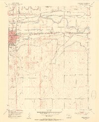
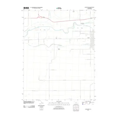
 1892 Lamar1892 Print · USGSSoutheastern Colorado in the early 1890s shows the pivotal arrival of the rail-and-river economy across the High Plains. Researchers can trace the development of early irrigation systems and rail stops like Lamar, Chivington, and Graveyard Creek.7 unique versions available
 - 1952 Map of Lamar West, 1954 Print
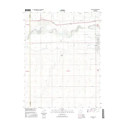
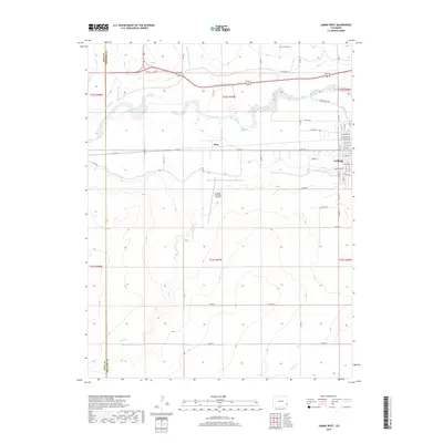
 1952 Lamar West1954 Print · USGSThe river valley west of Lamar was a vital corridor for both historic wagon routes and modern irrigation during the early fifties. Genealogists and historians can trace the Old Santa Fe Trail alongside local landmarks like Dry Creek School and Crawford Cem.4 unique versions available
 - 1953 Map of Lamar East, 1954 Print
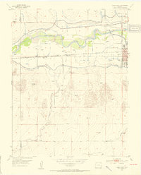
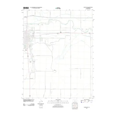
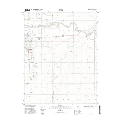
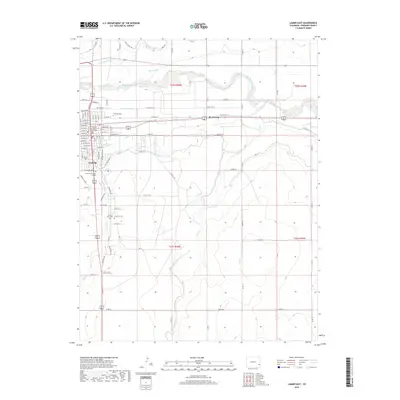
 1953 Lamar East1954 Print · USGSThe Arkansas River valley in the early fifties shows a landscape of vital irrigation and railroad history. Trace the route of the Santa Fe Trail and find local landmarks like Riverside Cemetery, Clay Creek School, and the Lamar city limits.5 unique versions available
 - 1954 Map of Lamar, 1964 Print
 1954 Lamar1964 Print · USGSSoutheastern Colorado and the Kansas borderlands appear here in the mid-fifties, dominated by the vital Arkansas River irrigation network. Researchers can trace the development of river towns like Lamar and La Junta alongside the Amity Cemetery and several major reservoirs.3 unique versions available
 - 1958 Map of Lamar
 1958 Lamar1958 Print · USGSThe High Plains of Eastern Colorado and Western Kansas in the late fifties reveal a landscape tied to the Arkansas River and the rails. Trace the heritage of the river valley through Fort Lyon, the Atchison Topeka and Santa Fe RR, and rural landmarks like Kendrick Church.2 unique versions available
 - 1984 Map of Lamar, 1985 Print
 1984 Lamar1985 Print · USGSSoutheastern Colorado and the Kansas borderlands appear here in the mid-1980s as a landscape shaped by irrigation and dual railroad lines. Researchers can trace the river-valley towns of Lamar and Granada or locate prairie outposts like Towner and Brandon.
 - 1988 Map of Lamar
 1988 Lamar1988 Print · USGSSoutheastern Colorado and western Kansas reveal a landscape of deep history and complex irrigation in the late eighties. Researchers can trace the storied Santa Fe Trail and explore sites like Camp Amache and the Brandon Oil Field.
 - 2010 Map of Lamar West, 2010 Print
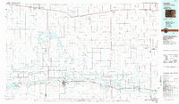
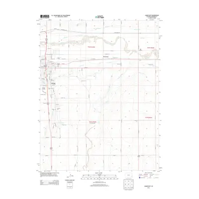
 2010 Lamar West2010 Print · USGSCovers Lamar, including Beta, Prowers County, and other nearby areas
 - 2010 Map of Lamar East, 2010 Print
 2010 Lamar East2010 Print · USGSCovers Lamar, including West Farm, Prowers County, and other nearby areas
 - 2013 Map of Lamar East, 2013 Print
 2013 Lamar East2013 Print · USGSCovers Lamar, including West Farm, Prowers County, and other nearby areas
 - 2013 Map of Lamar West, 2013 Print
 2013 Lamar West2013 Print · USGSCovers Lamar, including Beta, Prowers County, and other nearby areas
 - 2016 Map of Lamar West, 2016 Print
 2016 Lamar West2016 Print · USGSCovers Lamar, including Beta, Prowers County, and other nearby areas
 - 2016 Map of Lamar East, 2016 Print
 2016 Lamar East2016 Print · USGSCovers Lamar, including West Farm, Prowers County, and other nearby areas
 - 2019 Map of Lamar West, 2019 Print
 2019 Lamar West2019 Print · USGSCovers Lamar, including Beta, Prowers County, and other nearby areas
 - 2019 Map of Lamar East, 2019 Print
 2019 Lamar East2019 Print · USGSCovers Lamar, including West Farm, Prowers County, and other nearby areas
 - 2022 Map of Lamar East, 2022 Print
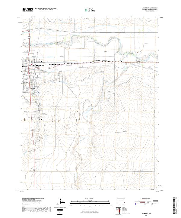 2022 Lamar East2022 Print · USGSEastern Colorado irrigation and plains agriculture define this 2020s landscape near the Kansas border. Researchers can trace the Arkansas River corridor and vital local landmarks like Lamar Community College and Fairmount Cem.
 - 2022 Map of Lamar West, 2022 Print
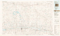
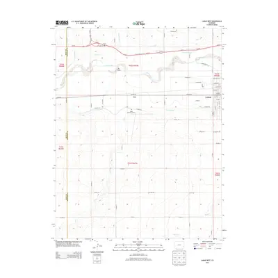
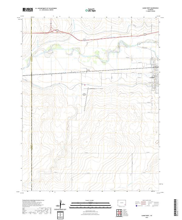 2022 Lamar West2022 Print · USGSThe Arkansas River valley near western Lamar is shown here during a period of sustained reliance on complex irrigation systems. You can trace the path of historic waterworks like the Fort Bent Canal and Amity Canal or locate local landmarks like the Beta settlement and the Lamar Municipal Airport.
End of results
Showing maps 1-17 of 17
Top cities near Lamar
Frequently asked questions
- What are the different types of historical maps available for Lamar?
- What is the oldest map of Lamar?
- Where can I purchase historical maps of Lamar for my home or office?
- Where can I download high-res historical maps of Lamar?
- Are there historical topographic maps available for Lamar?
- Is there historical aerial imagery available for Lamar?
- Where are historical maps of Lamar sourced from?