2000s (21st Century) Maps of Rangely, Colorado
Explore 10 historic maps of Rangely from the 2000s (21st Century). These maps offer a rare glimpse into what life looked like during the 2000s — showing old roads, neighborhoods, homes, and landmarks that have changed or disappeared over time.
Whether you're researching your family's past, planning a metal detecting trip, or studying how Rangely's landscape evolved across the 2000s, these high-resolution maps are a powerful tool for exploring the history of this region.
- Focus on a specific era: All maps on this page are from the 2000s, giving you a focused view of this time period.
- See what’s changed: Compare century-old streets, trails, and buildings to today's modern landscape using overlays and satellite layers.
- Research with precision: Use these maps for genealogy, historical research, land use analysis, or educational projects.
- View, download, or print: Maps are fully viewable online in high resolution, and can be downloaded or printed for your own records.
Start exploring Rangely's history through authentic maps from the 2000s. This is your window into the past.
Rangely, CO maps
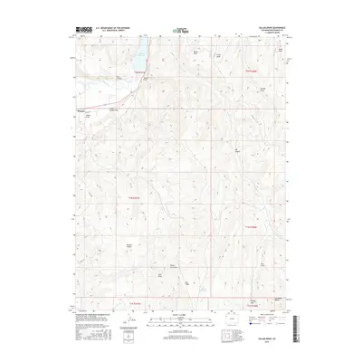
(10)- 2010 Map of Gillam Draw, 2010 Print
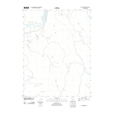 2010 Gillam Draw2010 Print · USGSCovers Rangely, including Rio Blanco County, United States, and other nearby areas
 - 2010 Map of Rangely, 2010 Print
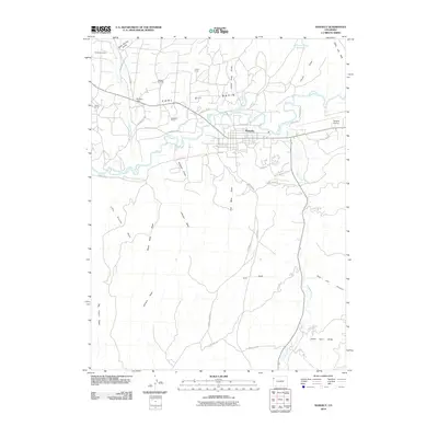 2010 Rangely2010 Print · USGSCovers Rangely, including Rio Blanco County, United States, and other nearby areas
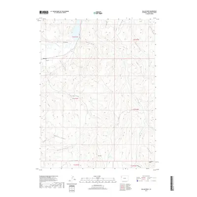
 - 2013 Map of Gillam Draw, 2013 Print
 2013 Gillam Draw2013 Print · USGSCovers Rangely, including Rio Blanco County, United States, and other nearby areas
 - 2013 Map of Rangely, 2013 Print
 2013 Rangely2013 Print · USGSCovers Rangely, including Rio Blanco County, United States, and other nearby areas
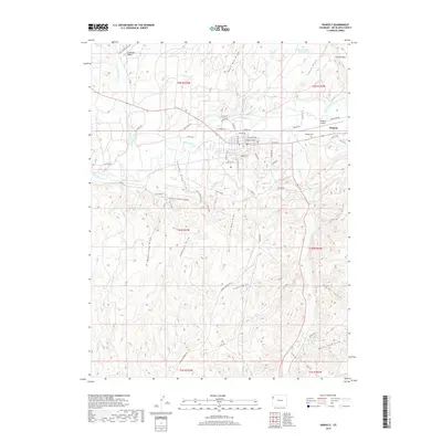
 - 2016 Map of Rangely, 2016 Print
 2016 Rangely2016 Print · USGSCovers Rangely, including Rio Blanco County, United States, and other nearby areas
 - 2016 Map of Gillam Draw, 2016 Print
 2016 Gillam Draw2016 Print · USGSCovers Rangely, including Rio Blanco County, United States, and other nearby areas
 - 2019 Map of Gillam Draw, 2019 Print
 2019 Gillam Draw2019 Print · USGSCovers Rangely, including Rio Blanco County, United States, and other nearby areas
 - 2019 Map of Rangely, 2019 Print
 2019 Rangely2019 Print · USGSCovers Rangely, including Rio Blanco County, United States, and other nearby areas
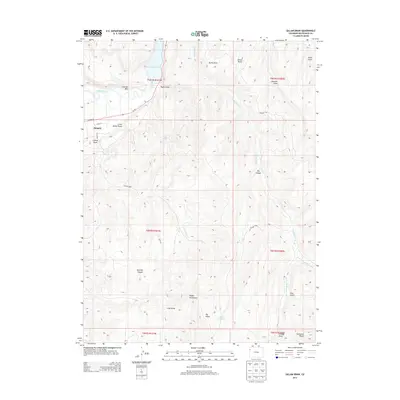
 - 2022 Map of Gillam Draw, 2022 Print
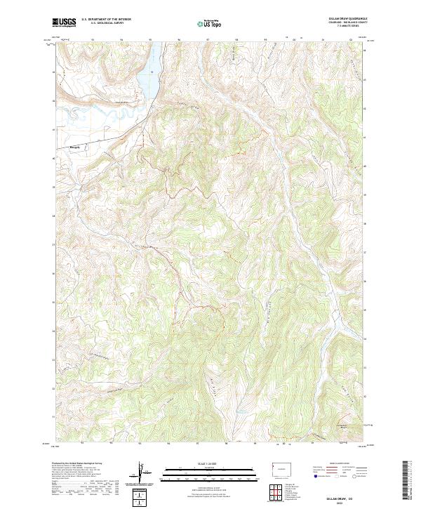 2022 Gillam Draw2022 Print · USGSThe area around Rangely and the White River is captured here in the early twenty-first century. Researchers can trace the rugged drainage networks of Gillam Draw and Red Hill Canyon or locate the prominent Cathedral Bluffs.
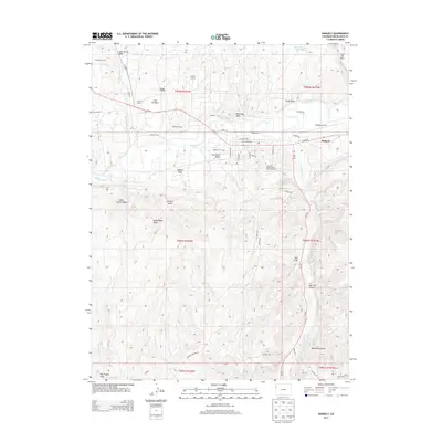
 - 2022 Map of Rangely, 2022 Print
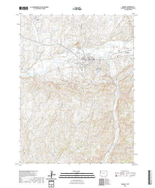 2022 Rangely2022 Print · USGSRangely and the White River valley are shown here in the early 2020s, highlighting the town's expansion and its unique desert geography. Trace local history at the Rangely Cemetery or explore the drainage systems of Douglas Creek and Coal Oil Basin.
End of results
Showing maps 1-10 of 10
Top cities near Rangely
Frequently asked questions
- What are the different types of historical maps available for Rangely?
- What is the oldest map of Rangely?
- Where can I purchase historical maps of Rangely for my home or office?
- Where can I download high-res historical maps of Rangely?
- Are there historical topographic maps available for Rangely?
- Is there historical aerial imagery available for Rangely?
- Where are historical maps of Rangely sourced from?