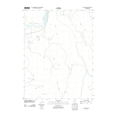
2010 Map of Gillam Draw
USGS Topo · Published 2010About this map
Coal Oil Rim and the winding White River dominate the northern landscape of this Rio Blanco County terrain. The area is defined by a complex network of drainage systems, including the extensive Gillam Draw and its tributary, Little Gillam Draw, which carve through the high desert plateau. These natural features are interspersed with markers of human activity and resource extraction, most notably at the Hefley Mine.
Find a feature on this map
21 named features on this map. Tap any name to fly to it.
Don’t see what you’re looking for? This feature index may not catch every label — zoom into the map to look around manually.
Map Details
Editions of this 2010 Gillam Draw Map
This is the sole edition of this map. No revisions or reprints were ever made.
Other maps of this area

1907 · Rangely
USGS Topo · 1:125,000

1910 · Rangely
USGS Topo · 1:125,000

1954 · Vernal
USGS Topo · 1:250,000

1956 · Grand Junction
USGS Topo · 1:250,000

1958 · Vernal
USGS Topo · 1:250,000

1959 · Grand Junction
USGS Topo · 1:250,000

1960 · Vernal
USGS Topo · 1:250,000

1960 · Grand Junction
USGS Topo · 1:250,000

1962 · Grand Junction
USGS Topo · 1:250,000

1962 · Rangely NE
USGS Topo · 1:24,000