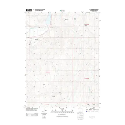
2013 Map of Gillam Draw
USGS Topo · Published 2013About this map
The town of Rangely sits at the edge of this Rio Blanco County landscape, where human engineering meets a terrain defined by deep erosional features and high ridges. The northern reaches are dominated by the White River and the significant waters of Kenney Reservoir, a focal point for the region's water management. South of the river, the land rises sharply toward the Cathedral Bluffs and Big Ridge, carved by an intricate network of drainages including Little Gillam Draw and Rocky Ford Draw. This 2013 survey illustrates the modern configuration of local infrastructure, specifically the path of Co-64 and residential streets like E Main St and Shale St, while tracking the numerous canyons and gulches like Yanks Gulch and Big Canyon that dictate the movement of both water and roads through this high-desert environment.
Find a feature on this map
34 named features on this map. Tap any name to fly to it.
Don’t see what you’re looking for? This feature index may not catch every label — zoom into the map to look around manually.
Map Details
Editions of this 2013 Gillam Draw Map
This is the sole edition of this map. No revisions or reprints were ever made.
Other maps of this area
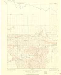
1907 · Rangely
USGS Topo · 1:125,000
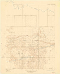
1910 · Rangely
USGS Topo · 1:125,000
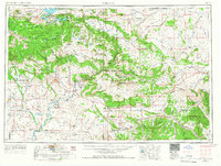
1954 · Vernal
USGS Topo · 1:250,000
1956 · Grand Junction
USGS Topo · 1:250,000
1958 · Vernal
USGS Topo · 1:250,000
1959 · Grand Junction
USGS Topo · 1:250,000
1960 · Vernal
USGS Topo · 1:250,000
1960 · Grand Junction
USGS Topo · 1:250,000
1962 · Grand Junction
USGS Topo · 1:250,000
1962 · Rangely NE
USGS Topo · 1:24,000