Old Maps of Hot Springs, Colorado for Academic Research
Study the evolution of Hot Springs with 13 high-resolution historic maps. Whether you're teaching, researching, or modeling changes in land use, these maps provide essential visual documentation of urban, environmental, and geographic change.
- Analyze long-term change: Track patterns in development, transportation, and natural features.
- Ideal for environmental or urban studies: Support academic projects with primary historical map data.
- Use in the classroom or lab: Educators and researchers rely on these maps to bring historical context to life.
These maps are a powerful tool for teaching, research, and visualizing how Hot Springs has changed over the decades.
Hot Springs, CO maps
(13)- 1954 Map of Pueblo, 1966 Print
 1954 Pueblo1966 Print · USGSMid-century Colorado comes alive in this survey of the Front Range and the high plains as the region expanded after the war. Genealogists and historians can trace family roots through rural landmarks like Hanover Church, Pioneer Cemetery, and the Grandview School.3 unique versions available
 - 1957 Map of Pueblo
 1957 Pueblo1957 Print · USGSMid-century Colorado comes alive as the Front Range urban centers expand alongside massive Cold War military installations. Genealogists and historians can trace the foundations of Stone City, rural sites like Hanover School, and the industrial Canon Imperial Mine.
 - 1958 Map of Pueblo
 1958 Pueblo1958 Print · USGSColorado's Front Range and Arkansas River Valley come alive in the late fifties, showing the transition from historic mining districts to major military and rail hubs. Genealogists and historians can trace family roots in ranching communities and find landmarks like Cripple Creek, Manitou, and the Hanover School.
 - 1962 Map of Pueblo
 1962 Pueblo1962 Print · USGSThe Front Range and high plains meet in the early sixties as military installations and industrial mining shape the corridor from Colorado Springs to Pueblo. Genealogists can trace family names through rural landmarks like the Columbine School, Hanover Church, and Fairview Cem.
 - 1966 Map of Pueblo
 1966 Pueblo1966 Print · USGSThe Front Range and Arkansas River Valley are captured here in the mid-1960s, showing a landscape shaped by mining, military expansion, and rail. Researchers can locate numerous country schools and mines, such as the Lytle School, Pioneer Cem, and Empire Zinc Mine.
 - 1967 Map of Villa Grove, 1971 Print
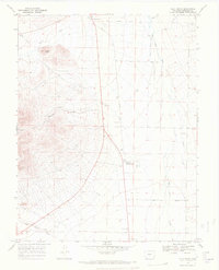 1967 Villa Grove1971 Print · USGSSaguache County ranching and water rights are on full display in this mid-century survey of the northern San Luis Valley. Trace the legacy of transportation and irrigation through the Old Railroad Grade and the San Luis Company Ditch near Villa Grove.4 unique versions available
 - 1982 Map of Canon City, 1983 Print
 1982 Canon City1983 Print · USGSCentral Colorado in the early eighties shows a landscape shaped by high peaks and river-valley industry. Genealogists can locate family sites near Silver Cliff, Union Highland Cem, or the State Prison Farm.
 - 1989 Map of Pueblo
 1989 Pueblo1989 Print · USGSIn the late eighties, the Colorado Front Range balanced its deep mining history with massive military expansion and water development. Researchers can trace the rail lines of the AT & SF RR or locate remote high-altitude settlements like Rosita and Querida.
 - 2010 Map of Villa Grove, 2010 Print
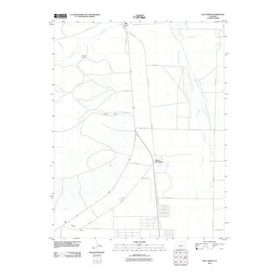 2010 Villa Grove2010 Print · USGSSaguache County at the dawn of the 2010s shows a high-altitude landscape shaped by water and ranching. Genealogists and historians can trace the irrigation networks of the San Luis Company Ditch and the layout of Villa Grove and Mineral Hot Springs.
 - 2013 Map of Villa Grove, 2013 Print
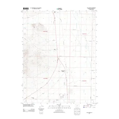 2013 Villa Grove2013 Print · USGSVilla Grove and the northern San Luis Valley are captured here in the early 2010s, showing a landscape of high-desert ranching and geothermal waters. Researchers can trace the residential layout of Mineral Hot Springs and follow irrigation routes like the San Luis Company Ditch.
 - 2016 Map of Villa Grove, 2016 Print
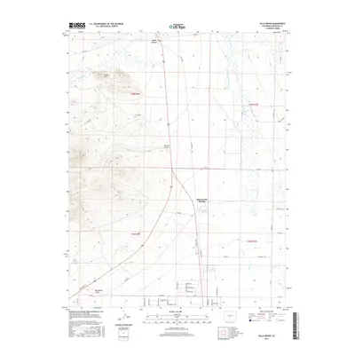 2016 Villa Grove2016 Print · USGSThe northern San Luis Valley comes into focus here in the mid-2010s, showing the intersection of historic settlement and modern water management. Researchers can trace the irrigation systems of San Luis Company Ditch and find the community layouts of Villa Grove and Mineral Hot Springs.
 - 2019 Map of Villa Grove, 2019 Print
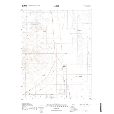 2019 Villa Grove2019 Print · USGSThe northern San Luis Valley comes into focus in the late 2010s, showing a high-altitude landscape defined by ranching and geothermal features. Researchers can trace the water rights and early settlements of the region through Villa Grove, Mineral Hot Springs, and the Schultze-Pettisick Ditch.
 - 2022 Map of Villa Grove, 2022 Print
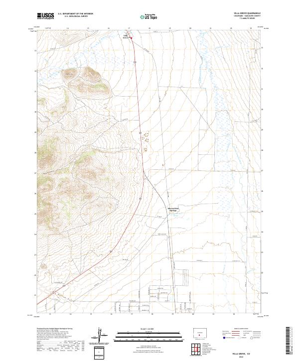 2022 Villa Grove2022 Print · USGSThe northern San Luis Valley comes into focus in this contemporary study of Saguache County's landscape and thermal features. Researchers can trace the layout of Villa Grove and Mineral Hot Springs alongside the intricate San Luis Company Ditch.
End of results
Showing maps 1-13 of 13
Top cities near Hot Springs
- Saguache historical maps
- Coaldale historical maps
- Crestone historical maps
- Moffat historical maps
- Bonanza historical maps
Frequently asked questions
- What are the different types of historical maps available for Hot Springs?
- What is the oldest map of Hot Springs?
- Where can I purchase historical maps of Hot Springs for my home or office?
- Where can I download high-res historical maps of Hot Springs?
- Are there historical topographic maps available for Hot Springs?
- Is there historical aerial imagery available for Hot Springs?
- Where are historical maps of Hot Springs sourced from?