Old Maps of Parkville, Colorado for Academic Research
Study the evolution of Parkville with 12 high-resolution historic maps. Whether you're teaching, researching, or modeling changes in land use, these maps provide essential visual documentation of urban, environmental, and geographic change.
- Analyze long-term change: Track patterns in development, transportation, and natural features.
- Ideal for environmental or urban studies: Support academic projects with primary historical map data.
- Use in the classroom or lab: Educators and researchers rely on these maps to bring historical context to life.
These maps are a powerful tool for teaching, research, and visualizing how Parkville has changed over the decades.
Parkville, CO maps
(12)- 1956 Map of Montrose, 1963 Print
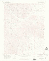
 1956 Montrose1963 Print · USGSThe Colorado western slope in the late fifties and early sixties shows a landscape defined by the Denver & Rio Grande Western RR and the Gunnison River. Trace the development of Blue Mesa Reservoir or locate high-country sites like the Bachelor Mine.3 unique versions available
 - 1959 Map of Montrose
 1959 Montrose1959 Print · USGSWestern Colorado in the late fifties is defined by the high peaks and river valleys of the Southern Rockies. Genealogists and historians can trace the paths of the Denver & Rio Grande Western RR or locate mountain settlements like Crawford, Lazear, and Doyleville.
 - 1960 Map of Montrose
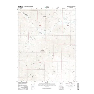
 1960 Montrose1960 Print · USGSThe Colorado high country in the mid-fifties is captured here during a period of steady ranching and persistent mining. Researchers can trace the path of the Denver & Rio Grande Western RR or locate small settlements like Somerset, Maher, and Sargent.2 unique versions available
 - 1967 Map of Graveyard Gulch, 1970 Print
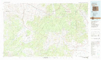
 1967 Graveyard Gulch1970 Print · USGSSaguache County high country is documented here in the late sixties, showing the transition from active mining to forest management. Genealogists can locate Whites Cem and the Parkville (Site), or trace old claims like the Pershing Mine and E D Mine.3 unique versions available
 - 1968 Map of Montrose
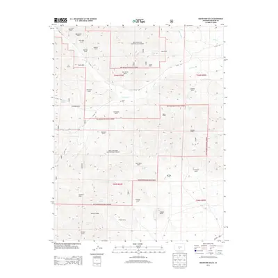
 1968 Montrose1968 Print · USGSThe Western Slope and Continental Divide meet in the late sixties, showing the vital river valleys and high-mountain mining districts. Trace the historic route of the Denver and Rio Grande Western RR or locate small settlements like Sargents and Powderhorn.
 - 1982 Map of Saguache, 1983 Print
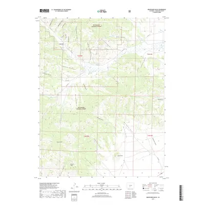
 1982 Saguache1983 Print · USGSThe San Luis Valley meets the high peaks of the Sawatch Range in the early 1980s, revealing a landscape shaped by mining and rail. Researchers can trace the Denver and Rio Grande Western railroad and locate high-altitude sites like the Rawley Mine and the settlement of Bonanza.
 - 2001 Map of Graveyard Gulch, 2005 Print
 2001 Graveyard Gulch2005 Print · USGSThe Colorado high country in Saguache County reveals its mining and timber roots through the 2001 revision of this high-altitude landscape. Researchers can locate the Parkville (Site), trace old 4WD tracks to the Pershing Mine, or find remote landmarks like Whites Cam.
 - 2011 Map of Graveyard Gulch, 2011 Print
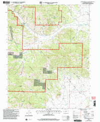
 2011 Graveyard Gulch2011 Print · USGSCovers Parkville, including Saguache County, United States, and other nearby areas
 - 2013 Map of Graveyard Gulch, 2013 Print
 2013 Graveyard Gulch2013 Print · USGSCovers Parkville, including Saguache County, United States, and other nearby areas
 - 2016 Map of Graveyard Gulch, 2016 Print
 2016 Graveyard Gulch2016 Print · USGSCovers Parkville, including Saguache County, United States, and other nearby areas
 - 2019 Map of Graveyard Gulch, 2019 Print
 2019 Graveyard Gulch2019 Print · USGSCovers Parkville, including Saguache County, United States, and other nearby areas
 - 2022 Map of Graveyard Gulch, 2022 Print
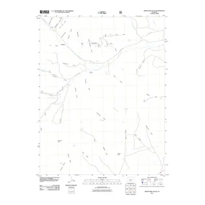
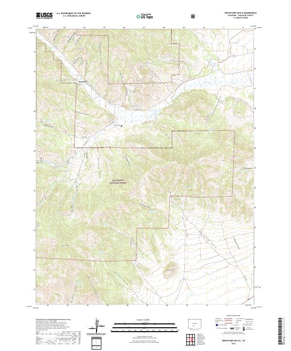 2022 Graveyard Gulch2022 Print · USGSThe high canyons and gulches north of Saguache come alive in this map of the region's ranching and prospecting landscape. Family historians can trace the exact location of Whites Cem and the settlement at Parkville, or follow the drainages of Schoolhouse Gulch and Sawmill Gulch.
End of results
Showing maps 1-12 of 12
Top cities near Parkville
Frequently asked questions
- What are the different types of historical maps available for Parkville?
- What is the oldest map of Parkville?
- Where can I purchase historical maps of Parkville for my home or office?
- Where can I download high-res historical maps of Parkville?
- Are there historical topographic maps available for Parkville?
- Is there historical aerial imagery available for Parkville?
- Where are historical maps of Parkville sourced from?