Old Maps of Tordal Estates, Colorado
Explore 18 old maps of Tordal Estates, spanning from 1889 to today. These high-resolution historic maps reveal how streets, neighborhoods, landmarks, and natural features evolved over time — perfect for genealogy, metal detecting, research, and local history exploration.
What you can do with these maps:
- See how Tordal Estates changed over time: Compare historical maps to modern-day views to trace roads, homesites, rail lines & more.
- View detailed metadata: Each map includes creators, publishers, year, scale, and archive source.
- Overlay maps with satellite & LiDAR: Visualize the past alongside modern tools to explore terrain & human change.
- Trusted historical sources: Maps sourced from the USGS, Library of Congress, and other archives.
- Access maps your way: View online, download high-res files, or order prints for personal or research use.
Start exploring old maps of Tordal Estates to uncover forgotten places, hidden landmarks, and the deep history beneath your feet.
Tordal Estates, CO maps
(18)- 1889 Map of Leadville, 1955 Print
 1889 Leadville1955 Print · USGSThe Colorado high country at the peak of its mining era reveals a landscape of high-altitude rail lines and booming silver camps. Genealogists and historians can trace the early rail routes of the Colorado Midland Railway, find the origins of Leadville, and locate mountain settlements like Alma and Kokomo.
 - 1891 Map of Leadville
 1891 Leadville1891 Print · USGSThe Silver City and its surrounding mining camps are caught at their industrial height in the 1880s and 90s. Trace the competing rail lines and high-altitude settlements from Holy Cross City to the busy streets of Leadville and London Park City.7 unique versions available
 - 1934 Map of Climax
 1934 Climax1934 Print · USGSThe Colorado high country in the mid-1930s reveals a landscape of industrial mining and high-altitude transport. Trace the routes of the Colorado and Southern RR or locate the historic mining district of Quartzville and the London Mine.
 - 1938 Map of Mt. Lincoln
 1938 Mt. Lincoln1938 Print · USGSSummit and Park counties are captured here in the late 1930s, documenting the high-altitude mining landscape of the Tenmile Range. Researchers can trace the early footprints of Alma, the mining sites at Kokomo and London, and historic routes over Mosquito Pass.7 unique versions available
 - 1942 Map of Leadville, 1943 Print
 1942 Leadville1943 Print · USGSHigh in the Rockies during the early war years, this area served as a critical hub for military training and mining operations. Trace the rail lines of the Denver and Rio Grande Western RR and find local landmarks like the U. S. Fish Hatchery or the Adelaide mine.
 - 1945 Map of Mount Lincoln
 1945 Mount Lincoln1945 Print · USGSBreckenridge and the surrounding mining districts were still active industrial hubs when this survey was updated in the mid-1940s. Researchers can trace historic claims and mineral landmarks such as USLM No 16 and the remote high-altitude site of Climax.2 unique versions available
 - 1957 Map of Leadville, 1978 Print
 1957 Leadville1978 Print · USGSHigh-country mining and rail transport define the central Colorado Rockies during the mid-to-late twentieth century. Researchers can trace the industrial footprints of Gilman and Climax, find small rail stops like Malta, and follow the Denver and Rio Grande Western RR.2 unique versions available
 - 1959 Map of Leadville
 1959 Leadville1959 Print · USGSThe Colorado high country in the late fifties is a landscape of mining history and military training, from the streets of Leadville to the Camp Hale grounds. Genealogists and historians can trace the Denver and Rio Grande Western RR alongside now-deserted sites like Ashcroft and Independence.
 - 1960 Map of Leadville
 1960 Leadville1960 Print · USGSThe Colorado high country in the mid-fifties comes alive through its mining camps, river valleys, and rail lines. Trace the industrial legacy of the Climax Molybdenum Mine and explore the alpine reaches of the Camp Hale Military Reservation.2 unique versions available
 - 1962 Map of Leadville
 1962 Leadville1962 Print · USGSThe Colorado high country in the early sixties was a rugged landscape of mining camps, military training grounds, and emerging ski towns. Researchers can trace the legacy of Camp Hale, locate the Molybdenum mine near Leadville, and follow the Denver and Rio Grande Western RR through the canyons.
 - 1964 Map of Leadville
 1964 Leadville1964 Print · USGSColorado's high country is captured here during the mid-1960s, showing the intersection of mining history and mountain transport. Trace the legacy of high-altitude industry at the Climax Molybdenum Mine or follow the rails of the Colorado and Southern Ry past Leadville.
 - 1970 Map of Breckenridge, 1973 Print
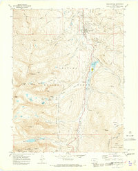 1970 Breckenridge1973 Print · USGSThe high-altitude mining and ski country of the Tenmile Range is captured here in the early 1970s. Researchers can trace the legacy of the gold era at the Wellington Mine and dredge tailings alongside the emerging Sawmill Ski Area ski lifts.3 unique versions available
 - 1983 Map of Leadville
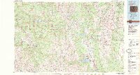 1983 Leadville1983 Print · USGSThe Colorado high country in the early eighties shows a landscape of world-class peaks and deep-rooted mining industry. Trace the historic tracks of the Denver and Rio Grande Western RR and locate high-altitude operations like the Climax Mine or London Mine.2 unique versions available
 - 2011 Map of Breckenridge, 2011 Print
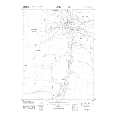 2011 Breckenridge2011 Print · USGSBreckenridge and the surrounding Tenmile Range are shown here during the early twenty-first century, balancing a deep mining heritage with a booming ski industry. Researchers can trace dozens of historic claims and tunnels, from the Wellington Mine in French Gulch to the Breckenridge Mine and Goose Pasture Tarn.
 - 2013 Map of Breckenridge, 2013 Print
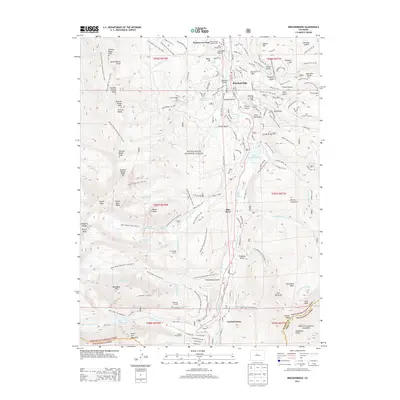 2013 Breckenridge2013 Print · USGSThe high-country terrain of Summit County is detailed here at the peak of its modern recreational era. Local historians and hikers can trace the paths of the Wheeler National Recreation Trail and find landmarks like Valley Brook Cem or the McCullough Tunnel.
 - 2016 Map of Breckenridge, 2016 Print
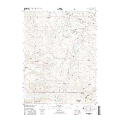 2016 Breckenridge2016 Print · USGSBreckenridge and the surrounding Tenmile Range appear here in the mid-2010s, showing a landscape defined by both its mining heritage and its modern identity as a recreation hub. You can trace historic mining paths like the Minnie Mine Trail or locate local landmarks including Valley Brook Cem and the Quandary Tunnel.
 - 2019 Map of Breckenridge, 2019 Print
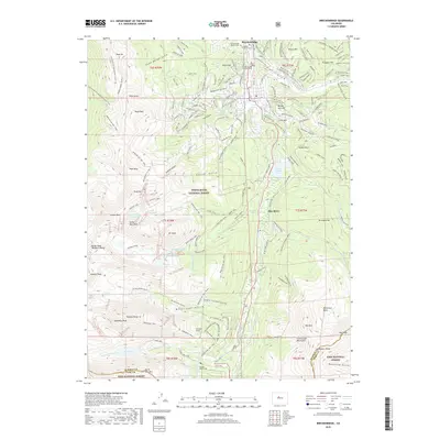 2019 Breckenridge2019 Print · USGSBreckenridge and the surrounding high-country peaks are captured here during a period of modern recreational growth. Genealogists and historians can locate the Breckenridge Masonic Cem and trace the alpine routes of the Continental Divide National Scenic Trail or the Quandary Trail.
 - 2022 Map of Breckenridge, 2022 Print
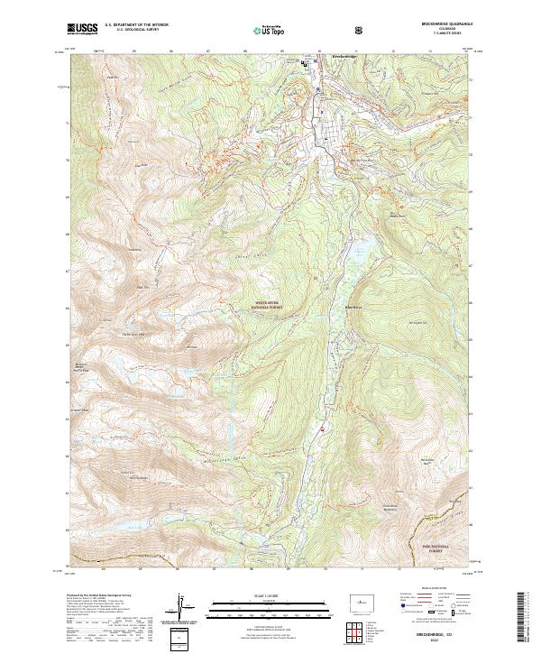 2022 Breckenridge2022 Print · USGSBreckenridge and the surrounding high alpine peaks of the Tenmile Range are captured here in the early twenty-first century. Researchers can trace historic mining-era names like Gibson Hill and Prospect Hill or locate the Breckenridge Masonic Cem near the Blue River.
End of results
Showing maps 1-18 of 18
Frequently asked questions
- What are the different types of historical maps available for Tordal Estates?
- What is the oldest map of Tordal Estates?
- Where can I purchase historical maps of Tordal Estates for my home or office?
- Where can I download high-res historical maps of Tordal Estates?
- Are there historical topographic maps available for Tordal Estates?
- Is there historical aerial imagery available for Tordal Estates?
- Where are historical maps of Tordal Estates sourced from?