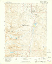
1970 Map of Breckenridge
USGS Topo · Published 1973About this map
The mountain town of Breckenridge is depicted here during a pivotal era of transition from its hard-rock mining origins to its emergence as a recreational destination. The landscape is heavily marked by industrial history, with extensive dredge tailings lining the Blue River and numerous mining sites such as the Wellington Mine and Briar Rose Mine scattered across the eastern slopes. To the west, the early infrastructure of the Sawmill Ski Area ski lifts climbs toward the high peaks of the Tenmile Range, including Peak 8 and Peak 9.
Find a feature on this map
66 named features on this map. Tap any name to fly to it.
Don’t see what you’re looking for? This feature index may not catch every label — zoom into the map to look around manually.
Map Details
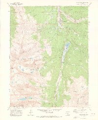
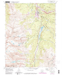
Editions of this 1970 Breckenridge Map
3 editions found
Other maps of this area

1889 · Leadville
USGS Topo · 1:125,000

1891 · Leadville
USGS Topo · 1:125,000

1924 · Montezuma
USGS Topo · 1:62,500

1926 · Montezuma
USGS Topo · 1:62,500

1929 · Dillon
USGS Topo · 1:62,500

1933 · Montezuma
USGS Topo · 1:62,500

1934 · Climax
USGS Topo · 1:48,000

1934 · Dillon
USGS Topo · 1:62,500

1937 · Como
USGS Topo · 1:62,500

1938 · Mt. Lincoln
USGS Topo · 1:48,000