
1938 Map of Mt. Lincoln
USGS Topo · Published 1938About this map
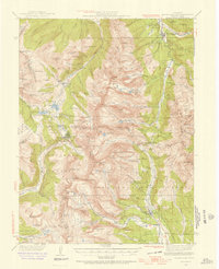
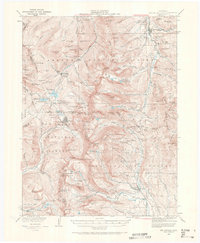
Mt Lincoln and the high summits of the Tenmile and Mosquito Ranges dominate this 1930s survey of the Continental Divide. The map captures a landscape defined by high-altitude mining activity, featuring established mining centers like Kokomo, Robinson, and London. The settlement at Alma sits at the edge of the Pike National Forest, while the former mining camp of Quartzville remains visible near the upper reaches of Moose Creek. This era of documentation shows the intricate network of gulches and peaks before modern resort development, including landmarks like Fremont Pass and Mosquito Pass.
Find a feature on this map
107 named features on this map. Tap any name to fly to it.
Don’t see what you’re looking for? This feature index may not catch every label — zoom into the map to look around manually.
Map Details
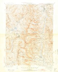
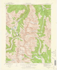
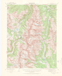
Editions of this 1938 Mt. Lincoln Map
7 editions found
Other maps of this area

1889 · Leadville
USGS Topo · 1:125,000

1891 · Leadville
USGS Topo · 1:125,000

1924 · Montezuma
USGS Topo · 1:62,500

1926 · Montezuma
USGS Topo · 1:62,500

1929 · Dillon
USGS Topo · 1:62,500

1933 · Montezuma
USGS Topo · 1:62,500

1934 · Climax
USGS Topo · 1:48,000

1934 · Minturn
USGS Topo · 1:62,500

1934 · Dillon
USGS Topo · 1:62,500

1935 · Mount Elbert
USGS Topo · 1:62,500