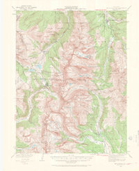
1938 Map of Mount Lincoln
USGS Topo · Published 1970About this map
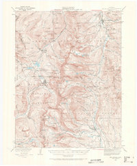
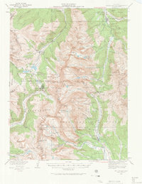
Breckenridge and the high-altitude mining districts of the Tenmile and Mosquito Ranges are documented here during the late 1930s, showing a landscape defined by extractive industry and the Continental Divide. The map detail traces the intense mineral exploration of the era through dozens of United States Location Monuments, including Uslm 11320 near Climax and Uslm 10782 overlooking Quartsville. These labels represent the legal anchoring of mining claims in a complex vertical environment where the Southern Pacific and Colorado and Southern railroads once navigated steep grades and high passes.
Find a feature on this map
153 named features on this map. Tap any name to fly to it.
Don’t see what you’re looking for? This feature index may not catch every label — zoom into the map to look around manually.
Map Details
Editions of this 1938 Mount Lincoln Map
7 editions found

Other maps of this area

1889 · Leadville
USGS Topo · 1:125,000

1891 · Leadville
USGS Topo · 1:125,000

1924 · Montezuma
USGS Topo · 1:62,500

1926 · Montezuma
USGS Topo · 1:62,500

1929 · Dillon
USGS Topo · 1:62,500

1933 · Montezuma
USGS Topo · 1:62,500

1934 · Climax
USGS Topo · 1:48,000

1934 · Minturn
USGS Topo · 1:62,500

1934 · Dillon
USGS Topo · 1:62,500

1935 · Mount Elbert
USGS Topo · 1:62,500