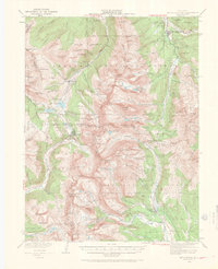
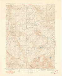
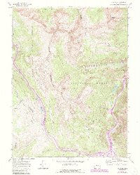
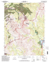
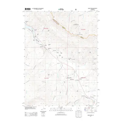
1938 Map of Mount Lincoln
USGS Topo · Published 1962About this map
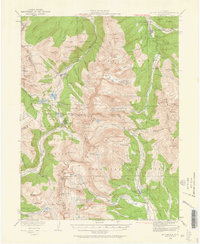
High-altitude mining camps and transportation corridors define this survey of the Tenmile and Mosquito Ranges, conducted across several decades. The settlement of Breckenridge anchors the northeast, where the Blue River meets French Gulch. To the west, the industrial character of the era is evident at Climax, situated at Fremont Pass, and the nearby mining settlement of Recen (Kokomo PO). The topography is dominated by the massive peaks of the Continental Divide, including Quandary Peak and Mt Lincoln. The Southern Pacific railroad and State Highway 91 provide the vital links between these remote outposts, tracing the narrow valleys of Tenmile Creek. Scattered throughout the high basins are numerous United States Location Monuments, such as USLM Quartzville, marking the legacy of mineral claims in the Arapaho and Pike National Forests.
Find a feature on this map
130 named features on this map. Tap any name to fly to it.
Don’t see what you’re looking for? This feature index may not catch every label — zoom into the map to look around manually.
Map Details
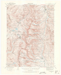
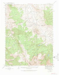
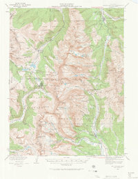
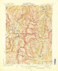
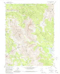
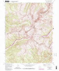
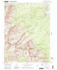
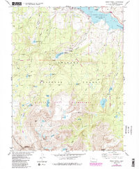
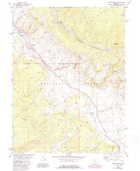
Editions of this 1938 Mount Lincoln Map
7 editions found
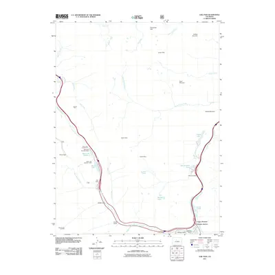
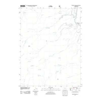
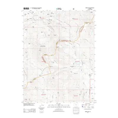
Historical Maps of Breckenridge Through Time
42 maps found
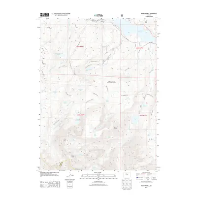
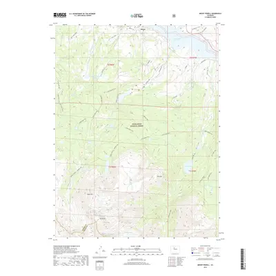
1933 Mount Powell
Summit County, CO

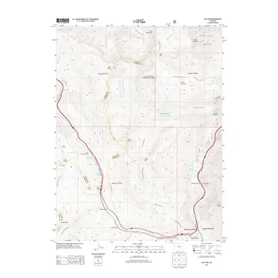
1934 Climax
Summit County, CO
1938 Mount Lincoln
Summit County, CO
1940 Mount Powell
Summit County, CO
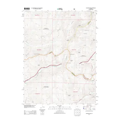
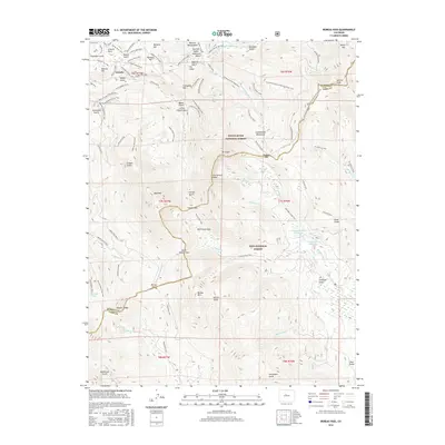
1945 Mt. Lincoln
Summit County, CO
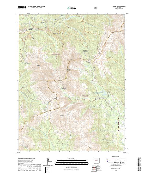
1957 Boreas Pass
Summit County, CO
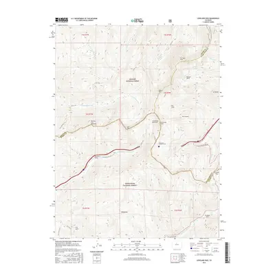
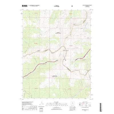
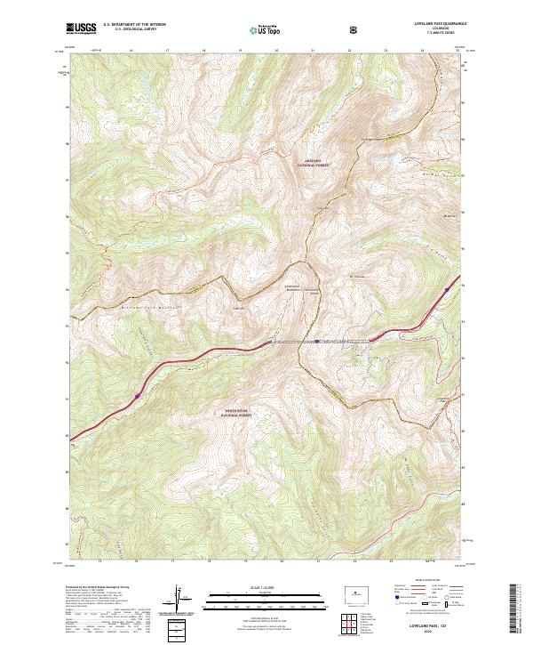
1958 Loveland Pass
Summit County, CO
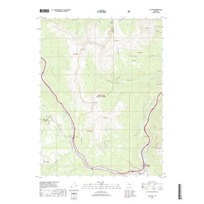
1970 Vail Pass
Summit County, CO
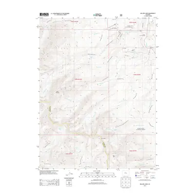
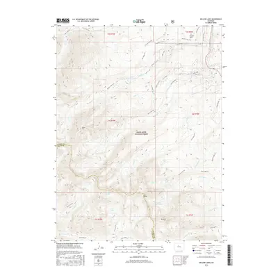
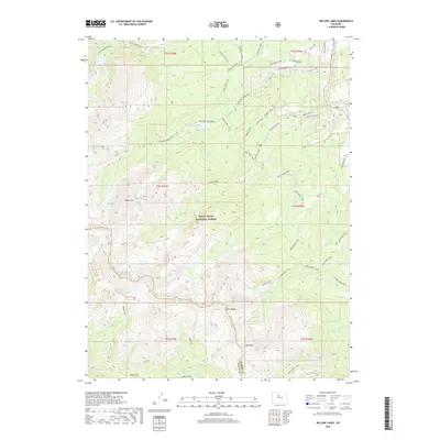
1970 Willow Lakes
Summit County, CO
1980 Mount Powell
Summit County, CO
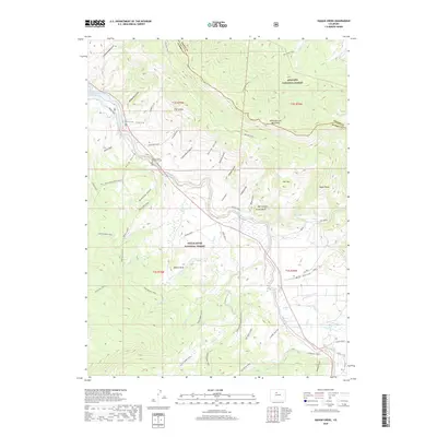
1980 Squaw Creek
Summit County, CO
1994 Boreas Pass
Summit County, CO
2011 Boreas Pass
Summit County, CO

2011 Eagle Roost
Summit County, CO
2011 Loveland Pass
Summit County, CO
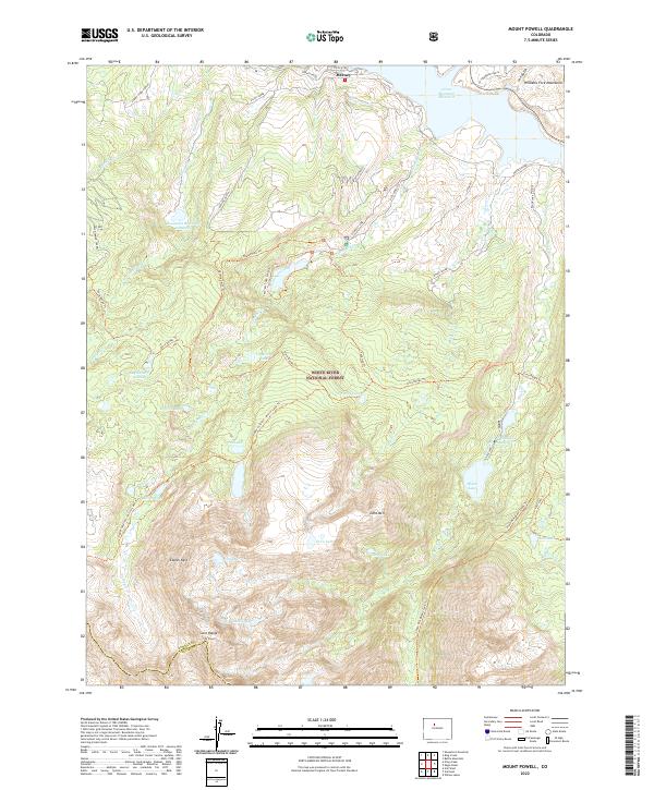
2011 Mount Powell
Summit County, CO
2011 Vail Pass
Summit County, CO
2011 Willow Lakes
Summit County, CO
2013 Boreas Pass
Summit County, CO
2013 Eagle Roost
Summit County, CO
2013 Loveland Pass
Summit County, CO
2013 Mount Powell
Summit County, CO
2013 Vail Pass
Summit County, CO
2013 Willow Lakes
Summit County, CO
2016 Boreas Pass
Summit County, CO

2016 Eagle Roost
Summit County, CO
2016 Loveland Pass
Summit County, CO
2016 Mount Powell
Summit County, CO
2016 Vail Pass
Summit County, CO
2016 Willow Lakes
Summit County, CO

2019 Boreas Pass
Summit County, CO
2019 Eagle Roost
Summit County, CO
2019 Loveland Pass
Summit County, CO
2019 Mount Powell
Summit County, CO
2019 Vail Pass
Summit County, CO
2019 Willow Lakes
Summit County, CO
2022 Boreas Pass
Summit County, CO
2022 Loveland Pass
Summit County, CO
2022 Mount Powell
Summit County, CO
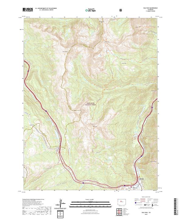
2022 Vail Pass
Summit County, CO
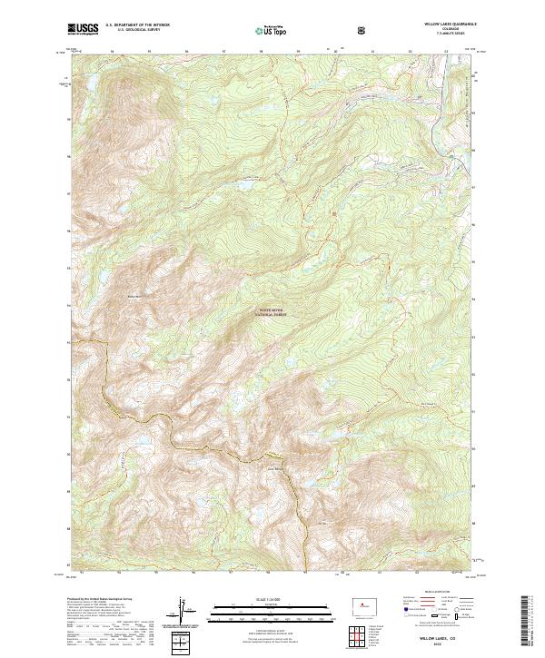
2022 Willow Lakes
Summit County, CO
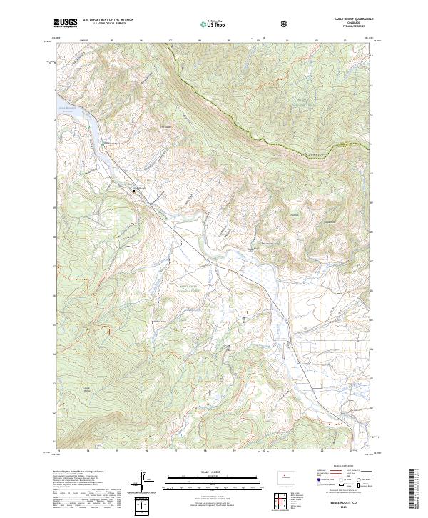
2023 Eagle Roost
Summit County, CO