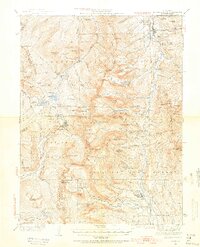
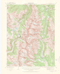
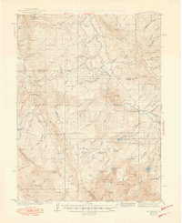
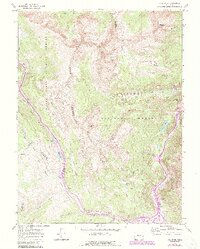
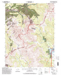
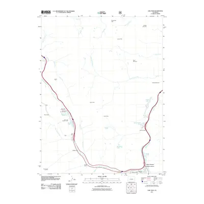
1938 Map of Mount Lincoln
USGS Topo · Published 1955About this map
Mt Lincoln and Mt Cameron anchor this survey of the high Rockies at the junctions of the Arapaho, White River, and Pike national forests. The map documents a landscape defined by mining-era settlements and high-altitude mountain passes, with the Southern Pacific line threading through the western valleys near Kokomo and Robinson. The northern edge captures the mining hub of Breckenridge along the Blue River, while the southern reaches descend toward Alma. The presence of the Wheeler Guard Station and established routes like Colo. 91 over Fremont Pass highlights the infrastructure required to manage these remote timber and mineral lands. For genealogists and researchers, the map provides a clear look at the relationship between the industrial operations at Climax and the surrounding drainage basins of Tenmile Creek and the Arkansas River.
Find a feature on this map
118 named features on this map. Tap any name to fly to it.
Don’t see what you’re looking for? This feature index may not catch every label — zoom into the map to look around manually.
Map Details
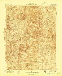
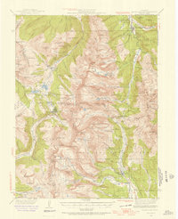
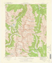
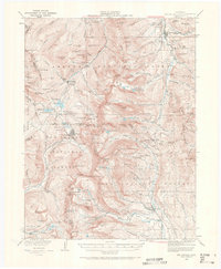
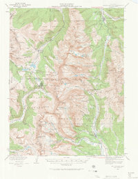
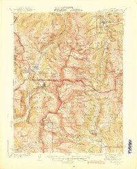
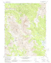
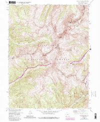
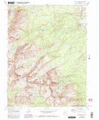
Editions of this 1938 Mount Lincoln Map
7 editions found
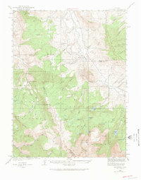
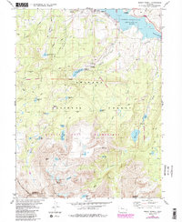
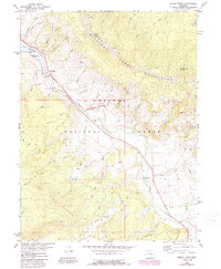
Historical Maps of Breckenridge Through Time
42 maps found
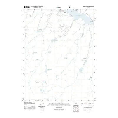
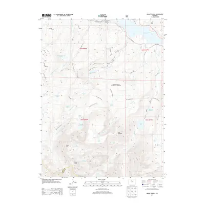
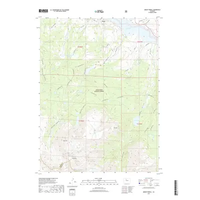
1933 Mount Powell
Summit County, CO

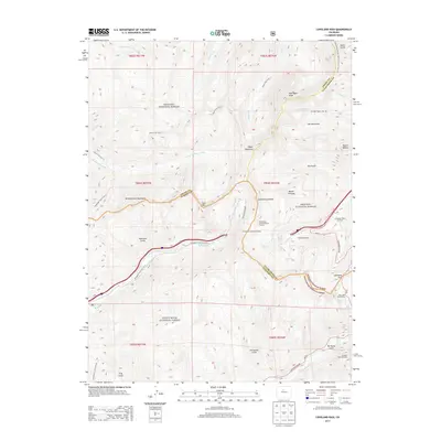
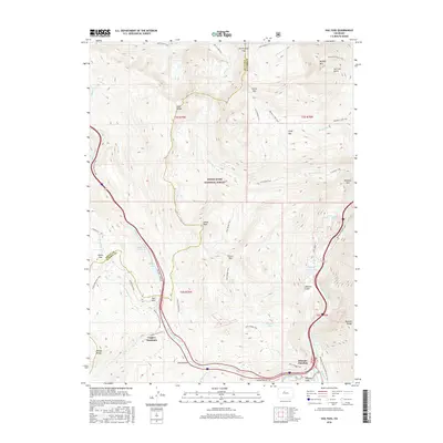
1934 Climax
Summit County, CO
1938 Mount Lincoln
Summit County, CO
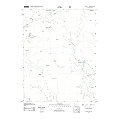
1940 Mount Powell
Summit County, CO
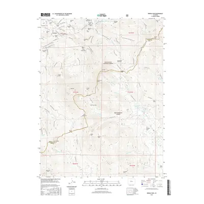
1945 Mt. Lincoln
Summit County, CO
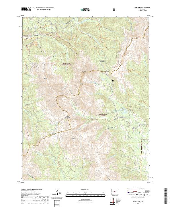
1957 Boreas Pass
Summit County, CO
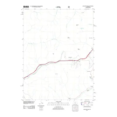
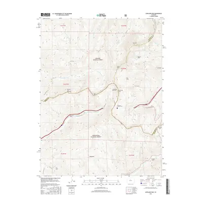
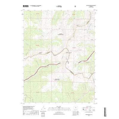
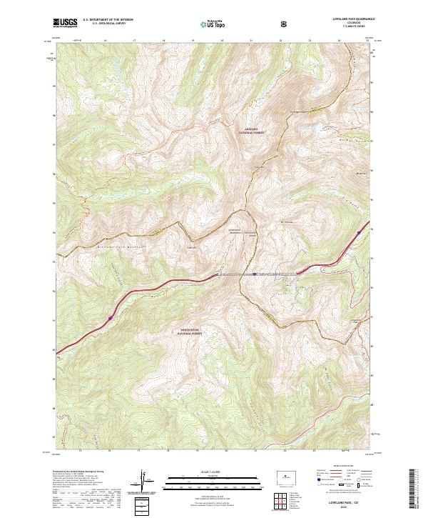
1958 Loveland Pass
Summit County, CO
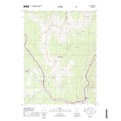
1970 Vail Pass
Summit County, CO
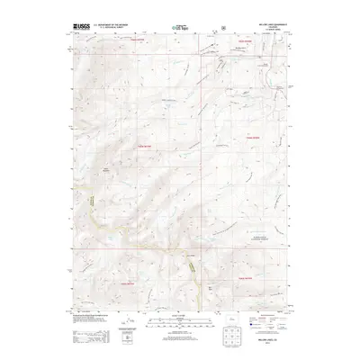
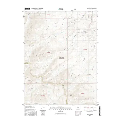
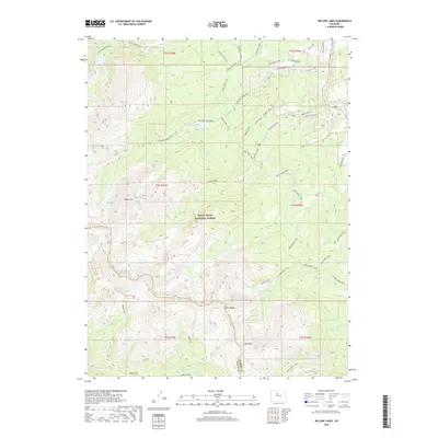
1970 Willow Lakes
Summit County, CO
1980 Mount Powell
Summit County, CO
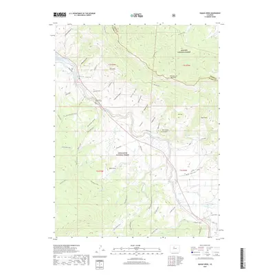
1980 Squaw Creek
Summit County, CO
1994 Boreas Pass
Summit County, CO
2011 Boreas Pass
Summit County, CO

2011 Eagle Roost
Summit County, CO
2011 Loveland Pass
Summit County, CO
2011 Mount Powell
Summit County, CO
2011 Vail Pass
Summit County, CO
2011 Willow Lakes
Summit County, CO
2013 Boreas Pass
Summit County, CO
2013 Eagle Roost
Summit County, CO
2013 Loveland Pass
Summit County, CO
2013 Mount Powell
Summit County, CO
2013 Vail Pass
Summit County, CO
2013 Willow Lakes
Summit County, CO
2016 Boreas Pass
Summit County, CO

2016 Eagle Roost
Summit County, CO
2016 Loveland Pass
Summit County, CO
2016 Mount Powell
Summit County, CO
2016 Vail Pass
Summit County, CO
2016 Willow Lakes
Summit County, CO

2019 Boreas Pass
Summit County, CO
2019 Eagle Roost
Summit County, CO
2019 Loveland Pass
Summit County, CO
2019 Mount Powell
Summit County, CO
2019 Vail Pass
Summit County, CO
2019 Willow Lakes
Summit County, CO
2022 Boreas Pass
Summit County, CO
2022 Loveland Pass
Summit County, CO
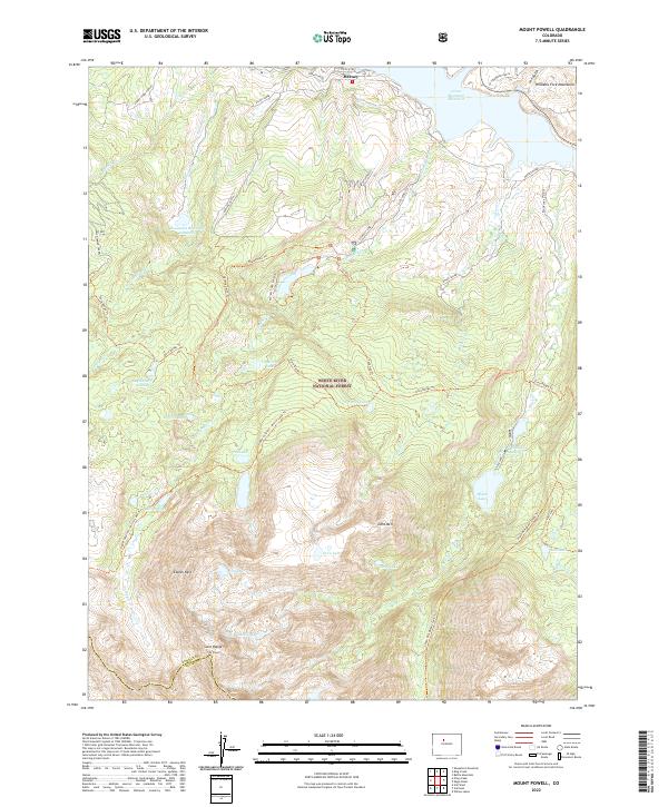
2022 Mount Powell
Summit County, CO
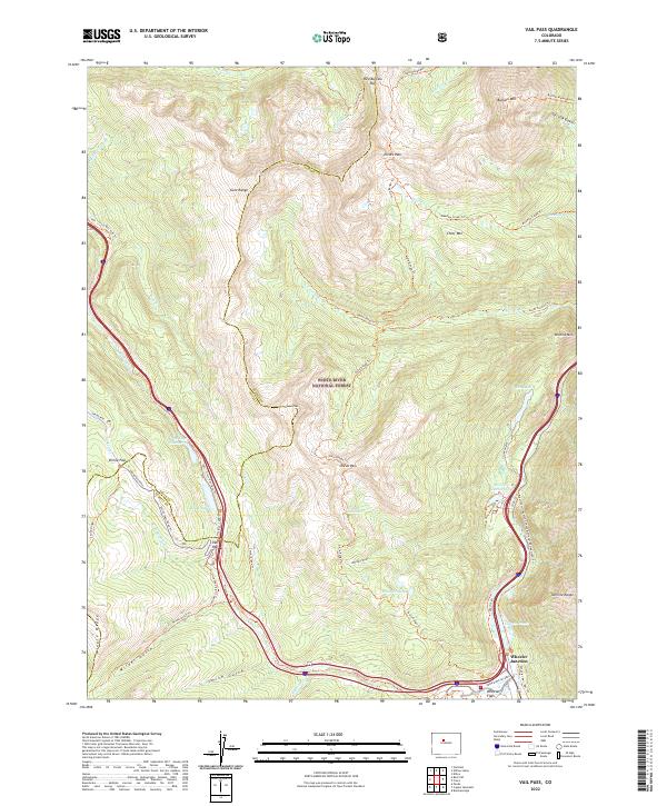
2022 Vail Pass
Summit County, CO
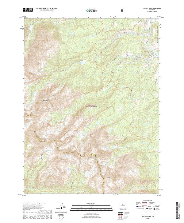
2022 Willow Lakes
Summit County, CO
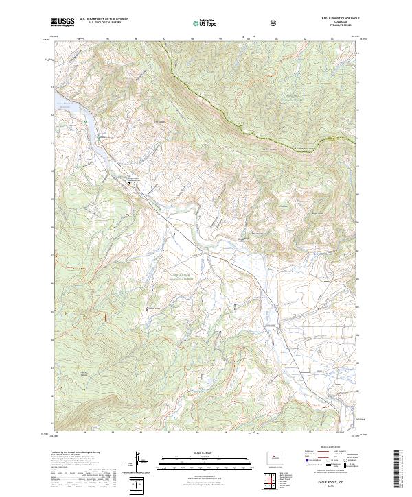
2023 Eagle Roost
Summit County, CO