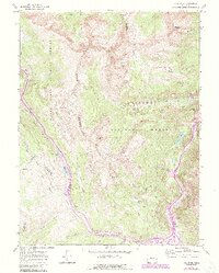
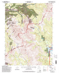
1938 Map of Mount Lincoln
USGS Topo · Published 1955About this map
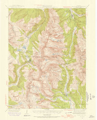
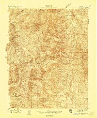
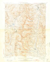
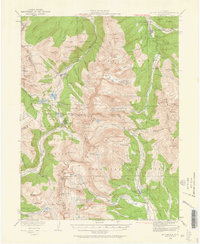
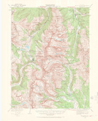
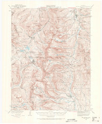
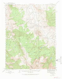
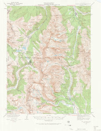
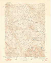
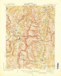
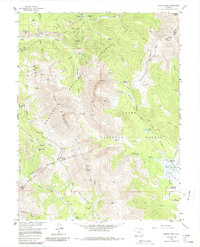
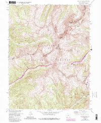
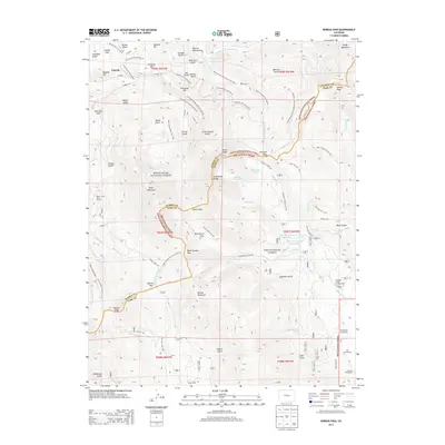
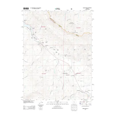
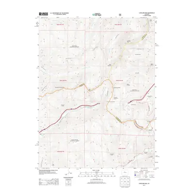
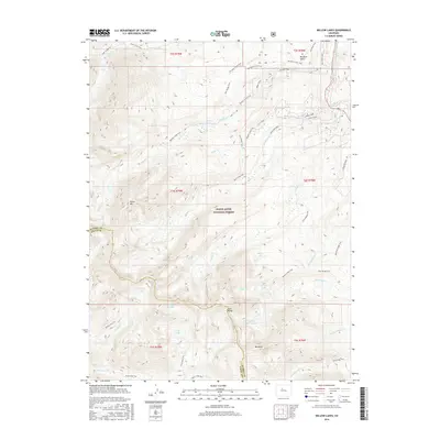
Breckenridge stands at the northern edge of this high-altitude survey, serving as a hub for the mining and water networks of the Mosquito and Tenmile ranges. The landscape is defined by its industrial geography, where settlements like Kokomo, Robinson, and Climax are positioned along the upper reaches of the Arkansas River and Tenmile Creek. The map records the infrastructure of resource extraction during the mid-1930s, including the Southern Pacific rail line and specific mining sites such as Autocrat and Quartzville. The intersection of multiple county lines—Summit, Lake, Eagle, and Park—converges near prominent peaks like Mt Lincoln and Mt Democrat, illustrating how political boundaries were often dictated by the divide. Significant water management features, including the Montgomery Reservoir and Blue Lakes, highlight the critical role of this terrain in the state's drainage system, feeding both the Blue River and the South Platte River.
Find a feature on this map
104 named features on this map. Tap any name to fly to it.
Don’t see what you’re looking for? This feature index may not catch every label — zoom into the map to look around manually.
Map Details
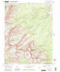
Editions of this 1938 Mount Lincoln Map
7 editions found
Historical Maps of Breckenridge Through Time
42 maps found
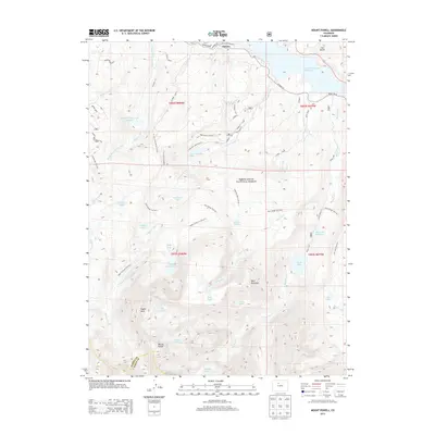
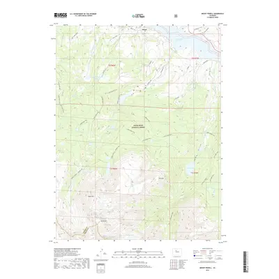
1933 Mount Powell
Summit County, CO

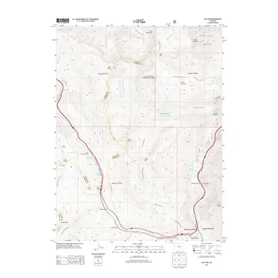
1934 Climax
Summit County, CO
1938 Mount Lincoln
Summit County, CO
1940 Mount Powell
Summit County, CO
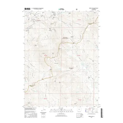
1945 Mt. Lincoln
Summit County, CO
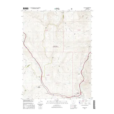
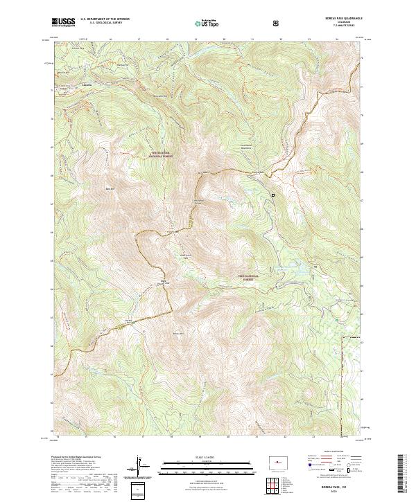
1957 Boreas Pass
Summit County, CO
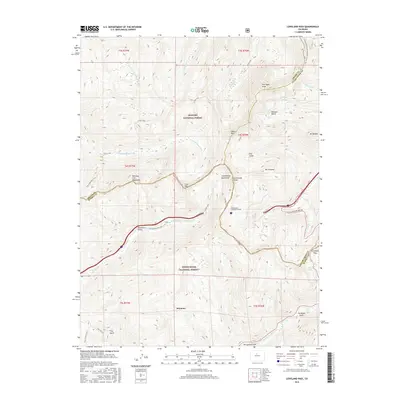
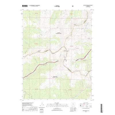
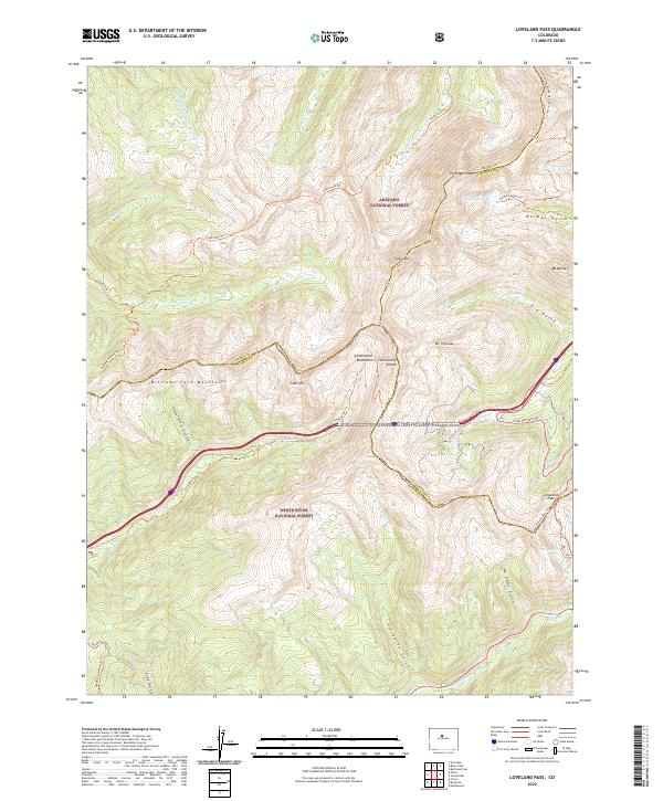
1958 Loveland Pass
Summit County, CO
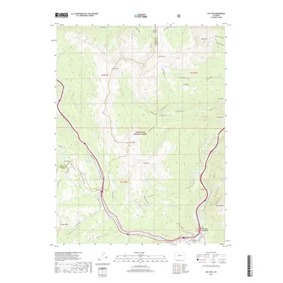
1970 Vail Pass
Summit County, CO
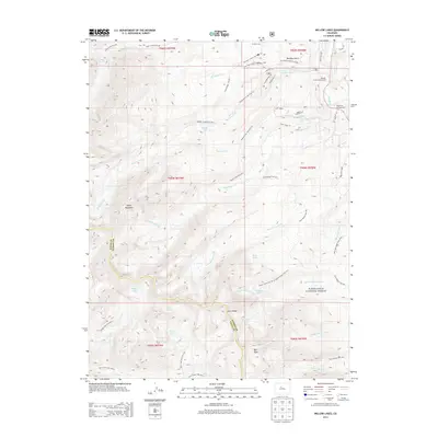
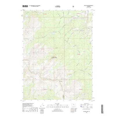
1970 Willow Lakes
Summit County, CO
1980 Mount Powell
Summit County, CO
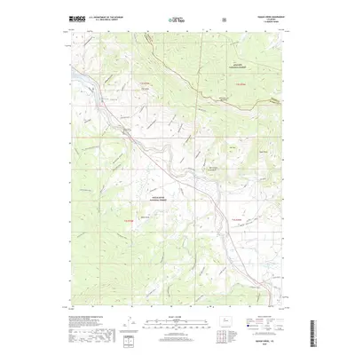
1980 Squaw Creek
Summit County, CO
1994 Boreas Pass
Summit County, CO
2011 Boreas Pass
Summit County, CO

2011 Eagle Roost
Summit County, CO
2011 Loveland Pass
Summit County, CO
2011 Mount Powell
Summit County, CO
2011 Vail Pass
Summit County, CO
2011 Willow Lakes
Summit County, CO
2013 Boreas Pass
Summit County, CO
2013 Eagle Roost
Summit County, CO
2013 Loveland Pass
Summit County, CO
2013 Mount Powell
Summit County, CO
2013 Vail Pass
Summit County, CO
2013 Willow Lakes
Summit County, CO
2016 Boreas Pass
Summit County, CO

2016 Eagle Roost
Summit County, CO
2016 Loveland Pass
Summit County, CO
2016 Mount Powell
Summit County, CO
2016 Vail Pass
Summit County, CO
2016 Willow Lakes
Summit County, CO

2019 Boreas Pass
Summit County, CO
2019 Eagle Roost
Summit County, CO
2019 Loveland Pass
Summit County, CO
2019 Mount Powell
Summit County, CO
2019 Vail Pass
Summit County, CO
2019 Willow Lakes
Summit County, CO
2022 Boreas Pass
Summit County, CO
2022 Loveland Pass
Summit County, CO
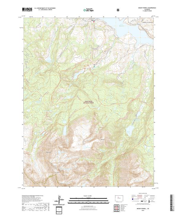
2022 Mount Powell
Summit County, CO
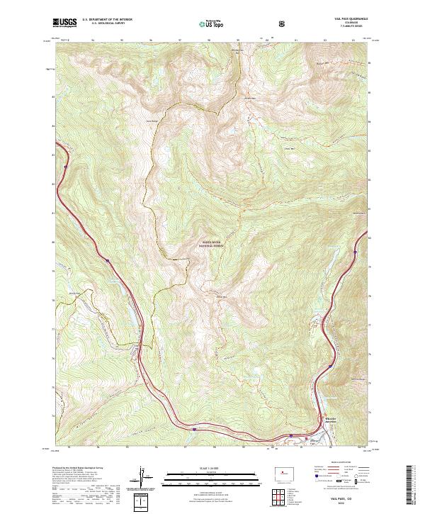
2022 Vail Pass
Summit County, CO
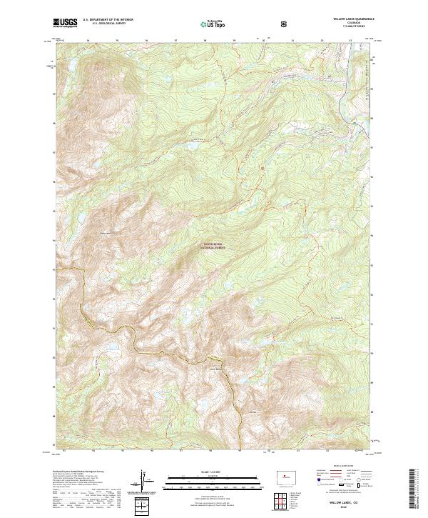
2022 Willow Lakes
Summit County, CO
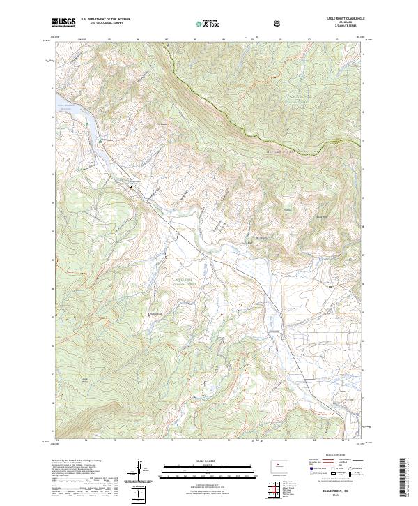
2023 Eagle Roost
Summit County, CO