Old Maps of Calhoun, Colorado for Hiking & Exploration
Hike through history with 9 historic maps of Calhoun. Explore old trails, ghost towns, and forgotten backroads — perfect for outdoor adventurers and local explorers.
- Rediscover forgotten places: Map out old mining camps, roads, and footpaths that no longer exist on modern maps.
- Layer with modern tools: Combine with LiDAR or satellite views to plan hikes through historical terrain.
- Made for exploration: Popular among hikers, overlanders, and local history lovers.
Use these maps to find adventure and explore the hidden past of Calhoun.
Calhoun, CO maps
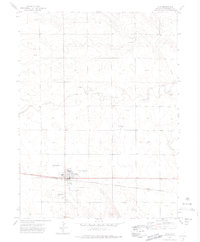
(9)- 1954 Map of Sterling
 1954 Sterling1954 Print · USGSNortheastern Colorado and the Nebraska borderlands are defined by the river-and-rail corridors of the mid-twentieth century. Researchers can trace the development of agricultural hubs from Sterling and Fort Morgan to smaller rail stops along the Union Pacific and Burlington Northern lines.3 unique versions available
 - 1958 Map of Sterling
 1958 Sterling1958 Print · USGSNortheastern Colorado thrived along the river and rail corridors during the late fifties. Genealogists and historians can trace family-named irrigation works like Davis Brothers Ditch and agricultural hubs from Peetz to Fort Morgan.
 - 1972 Map of Otis, 1975 Print
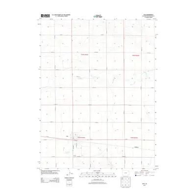
 1972 Otis1975 Print · USGSThe town of Otis is captured in the early 1970s, showing a prairie landscape shaped by the rail line and dryland infrastructure. Genealogists and researchers can trace the town layout including the High Sch, Cem, and the nearby Calhoun siding.3 unique versions available
 - 1981 Map of Wray, 1982 Print
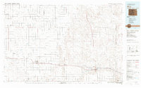 1981 Wray1982 Print · USGSThe high plains at the meeting of Colorado, Nebraska, and Kansas are documented here in the early 1980s. Local researchers can trace the Burlington Northern rail corridor and locate rural landmarks like Lone Star, Glocken Hill, and Dearing Lake.
 - 2010 Map of Otis, 2010 Print
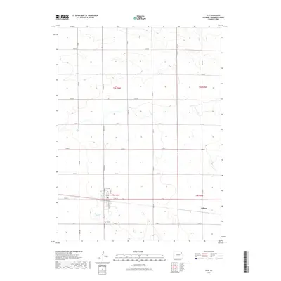
 2010 Otis2010 Print · USGSCovers Calhoun, including Otis, Washington County, and other nearby areas
 - 2013 Map of Otis, 2013 Print
 2013 Otis2013 Print · USGSCovers Calhoun, including Otis, Washington County, and other nearby areas
 - 2016 Map of Otis, 2016 Print
 2016 Otis2016 Print · USGSCovers Calhoun, including Otis, Washington County, and other nearby areas
 - 2019 Map of Otis, 2019 Print
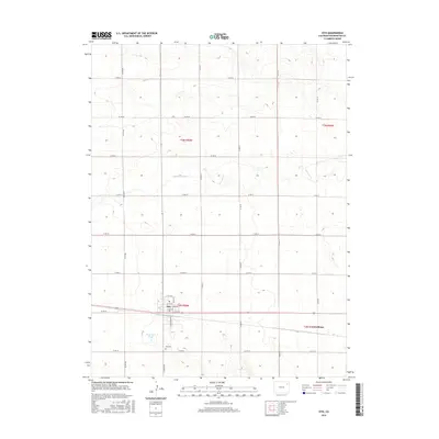
 2019 Otis2019 Print · USGSCovers Calhoun, including Otis, Washington County, and other nearby areas
 - 2022 Map of Otis, 2022 Print
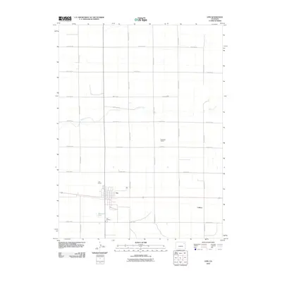
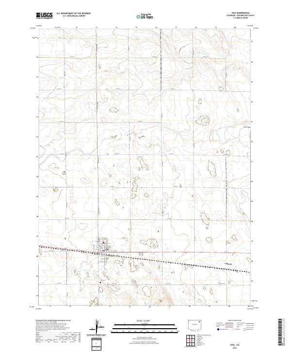 2022 Otis2022 Print · USGSThe town of Otis and its surrounding agricultural grid appear in modern detail on this 2022 survey of Washington County. Local researchers can trace family sites near Otis Cem, explore the streets of Otis, or follow the course of Surveyor Creek through the plains.
End of results
Showing maps 1-9 of 9
Top cities near Calhoun
Frequently asked questions
- What are the different types of historical maps available for Calhoun?
- What is the oldest map of Calhoun?
- Where can I purchase historical maps of Calhoun for my home or office?
- Where can I download high-res historical maps of Calhoun?
- Are there historical topographic maps available for Calhoun?
- Is there historical aerial imagery available for Calhoun?
- Where are historical maps of Calhoun sourced from?