
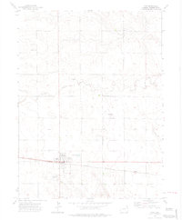
1972 Map of Otis
USGS Topo · Published 1975About this map
Otis serves as the primary hub of this eastern Colorado landscape, situated along the tracks of the Burlington Northern railroad. The town's layout is clearly defined, featuring the High Sch, a local Cem, and a Sewage Disposal Pond to the east. The surrounding terrain is marked by agricultural activity and infrastructure, including the Landing Strip west of the main settlement and Stansfield Airport further north.
Find a feature on this map
16 named features on this map. Tap any name to fly to it.
Don’t see what you’re looking for? This feature index may not catch every label — zoom into the map to look around manually.
Map Details
Editions of this 1972 Otis Map
3 editions found
Other maps of this area

1954 · Sterling
USGS Topo · 1:250,000

1958 · Sterling
USGS Topo · 1:250,000

1972 · Hyde
USGS Topo · 1:24,000

1972 · Lone Star
USGS Topo · 1:24,000

1972 · Snyder Lake
USGS Topo · 1:24,000

1972 · Otis SE
USGS Topo · 1:24,000

1972 · Burdett
USGS Topo · 1:24,000

1973 · Platner
USGS Topo · 1:24,000

1973 · Buffalo Springs Ranch SE
USGS Topo · 1:24,000

1973 · Akron SE
USGS Topo · 1:24,000